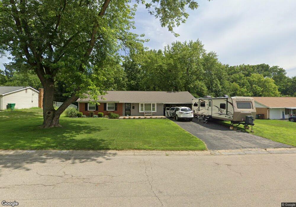
2807 Rockledge Trail Beavercreek, OH 45430
Estimated Value: $264,165 - $295,000
3
Beds
2
Baths
1,344
Sq Ft
$209/Sq Ft
Est. Value
About This Home
This home is located at 2807 Rockledge Trail, Beavercreek, OH 45430 and is currently estimated at $281,541, approximately $209 per square foot. 2807 Rockledge Trail is a home located in Greene County with nearby schools including Fairbrook Elementary School, Herman K Ankeney Middle School, and Beavercreek High School.
Ownership History
Date
Name
Owned For
Owner Type
Purchase Details
Closed on
Nov 13, 2018
Sold by
Carroll Tina and Covault Tina
Bought by
Scheper Jeannine R and Scheper Steven M
Current Estimated Value
Home Financials for this Owner
Home Financials are based on the most recent Mortgage that was taken out on this home.
Original Mortgage
$85,000
Outstanding Balance
$74,740
Interest Rate
4.8%
Mortgage Type
New Conventional
Estimated Equity
$206,801
Purchase Details
Closed on
May 16, 2018
Sold by
Fox Vicki L
Bought by
Covault Tina
Purchase Details
Closed on
Oct 24, 2016
Sold by
Reese Ricky D
Bought by
Fox Vicki L
Purchase Details
Closed on
Mar 17, 2016
Bought by
Reese Ricky
Create a Home Valuation Report for This Property
The Home Valuation Report is an in-depth analysis detailing your home's value as well as a comparison with similar homes in the area
Home Values in the Area
Average Home Value in this Area
Purchase History
| Date | Buyer | Sale Price | Title Company |
|---|---|---|---|
| Scheper Jeannine R | $173,900 | Landmark Title Agency Inc | |
| Covault Tina | $55,000 | None Available | |
| Fox Vicki L | -- | Attorney | |
| Reese Ricky | -- | -- |
Source: Public Records
Mortgage History
| Date | Status | Borrower | Loan Amount |
|---|---|---|---|
| Open | Scheper Jeannine R | $85,000 |
Source: Public Records
Tax History Compared to Growth
Tax History
| Year | Tax Paid | Tax Assessment Tax Assessment Total Assessment is a certain percentage of the fair market value that is determined by local assessors to be the total taxable value of land and additions on the property. | Land | Improvement |
|---|---|---|---|---|
| 2024 | $3,691 | $65,780 | $15,130 | $50,650 |
| 2023 | $3,691 | $65,780 | $15,130 | $50,650 |
| 2022 | $3,262 | $52,370 | $12,610 | $39,760 |
| 2021 | $3,196 | $52,370 | $12,610 | $39,760 |
| 2020 | $3,220 | $52,370 | $12,610 | $39,760 |
| 2019 | $3,605 | $43,010 | $10,710 | $32,300 |
| 2018 | $3,750 | $43,010 | $10,710 | $32,300 |
| 2017 | $3,392 | $43,010 | $10,710 | $32,300 |
| 2016 | $2,937 | $38,920 | $10,710 | $28,210 |
| 2015 | $14,400 | $38,920 | $10,710 | $28,210 |
| 2014 | $10,609 | $38,920 | $10,710 | $28,210 |
Source: Public Records
Map
Nearby Homes
- 2658 Tompkins Dr
- 520 Vineland Trail
- 2853 Comanche Dr
- 2841 Chinook Ln
- 564 Plattner Trail
- 2954 Powhattan Place
- 4485 Longmeadow Ln
- 4323 Straight Arrow Rd Unit 4323
- 4274 Straight Arrow Rd Unit 4274
- 2845 Nacoma Place
- 4324 Straight Arrow Rd Unit 4324
- 4235 Straight Arrow Rd
- 4310 Straight Arrow Rd Unit 4310
- 4174 White Hawk Ct
- 3116 Powhattan Place
- 3241 Gracemore Ave
- 611 Cape Cod Ct
- 97 Apple Blossom Place
- 2808 Whitehorse Ave
- 2928 Prentice Dr
- 2813 Rockledge Trail
- 2823 Rockledge Trail
- 2779 Rockledge Trail
- 2808 Vineland Trail
- 2904 Wigman Way
- 2800 Vineland Trail
- 2905 Wigman Way
- 2816 Vineland Trail
- 2827 Rockledge Trail
- 2822 Rockledge Trail
- 2773 Rockledge Trail
- 2768 Vineland Trail
- 2806 Rockledge Trail
- 2824 Vineland Trail
- 2826 Rockledge Trail
- 2833 Rockledge Trail
- 4301 Tonawanda Trail
- 2767 Rockledge Trail
- 2907 Wigman Way
- 2800 Rockledge Trail