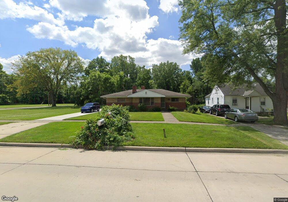
28073 Annapolis Rd Westland, MI 48186
Estimated Value: $167,159 - $198,000
--
Bed
2
Baths
1,607
Sq Ft
$115/Sq Ft
Est. Value
About This Home
This home is located at 28073 Annapolis Rd, Westland, MI 48186 and is currently estimated at $185,290, approximately $115 per square foot. 28073 Annapolis Rd is a home located in Wayne County with nearby schools including Taylor Parks Elementary School, Hoover Middle School, and Taylor High School.
Ownership History
Date
Name
Owned For
Owner Type
Purchase Details
Closed on
Dec 1, 2021
Sold by
Dawkins William
Bought by
Dawkins William and Dawkins William
Current Estimated Value
Purchase Details
Closed on
Dec 19, 2016
Sold by
Dawkins Andree
Bought by
Dawkins Williams
Purchase Details
Closed on
Dec 7, 2016
Sold by
Dawkins Ii Larry
Bought by
Dawkins William
Purchase Details
Closed on
Oct 17, 2014
Sold by
Dawkins Larry
Bought by
Dawkins Larry and Dawkins Lary
Create a Home Valuation Report for This Property
The Home Valuation Report is an in-depth analysis detailing your home's value as well as a comparison with similar homes in the area
Home Values in the Area
Average Home Value in this Area
Purchase History
| Date | Buyer | Sale Price | Title Company |
|---|---|---|---|
| Dawkins William | -- | None Available | |
| Dawkins Williams | -- | None Available | |
| Dawkins William | -- | None Available | |
| Dawkins Larry | -- | None Available |
Source: Public Records
Tax History Compared to Growth
Tax History
| Year | Tax Paid | Tax Assessment Tax Assessment Total Assessment is a certain percentage of the fair market value that is determined by local assessors to be the total taxable value of land and additions on the property. | Land | Improvement |
|---|---|---|---|---|
| 2025 | $1,408 | $94,000 | $0 | $0 |
| 2024 | $1,408 | $98,900 | $0 | $0 |
| 2023 | $1,448 | $79,600 | $0 | $0 |
| 2022 | $1,645 | $63,400 | $0 | $0 |
| 2021 | $1,552 | $52,600 | $0 | $0 |
| 2020 | $1,533 | $39,000 | $0 | $0 |
| 2019 | $1,468 | $33,000 | $0 | $0 |
| 2018 | $1,159 | $31,900 | $0 | $0 |
| 2017 | $542 | $30,700 | $0 | $0 |
| 2016 | $1,337 | $31,200 | $0 | $0 |
| 2015 | $3,019 | $30,190 | $0 | $0 |
| 2013 | $3,347 | $34,200 | $0 | $0 |
| 2012 | $1,433 | $35,690 | $0 | $0 |
Source: Public Records
Map
Nearby Homes
- POWERS Powers St
- 27523 Powers St
- 4120 Ash St
- 4133 Moore St
- 4315 Isabelle St
- 4054 Moore St
- 3925 Spruce St
- 4080 Isabelle St
- 27285 Colgate St
- 28919 Powers St
- Vacant Spruce St
- 28951 Powers St
- 29026 York St
- 29006 Eton St
- 29038 York St
- 4061 Wellington St
- 29119 York St
- 28222 Carlysle St
- 29025 Powers St
- 5526 Sylvia St
- 28075 Annapolis Rd
- 28083 Annapolis Rd
- 28060 Annapolis St
- 28093 Annapolis Rd
- 28089 Annapolis Rd
- 28103 Annapolis Rd
- 28016 Eton St
- 28008 Eton St
- 28044 Eton St
- 27640 Annapolis St
- 4415 Hickory St Unit Bldg-Unit
- 4415 Hickory St
- 28030 Eton St
- 28078 Eton St
- 27611 Annapolis Rd
- 28130 Eton St
- 28072 Eton St
- 28160 Annapolis St
- 27636 Eton St
- 27583 Annapolis Rd