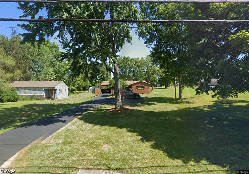
2808 Banning Rd Cincinnati, OH 45239
Estimated Value: $204,718 - $240,000
3
Beds
3
Baths
1,204
Sq Ft
$190/Sq Ft
Est. Value
About This Home
This home is located at 2808 Banning Rd, Cincinnati, OH 45239 and is currently estimated at $228,180, approximately $189 per square foot. 2808 Banning Rd is a home located in Hamilton County with nearby schools including White Oak Middle School, Colerain High School, and Cincinnati Achievement Academy.
Ownership History
Date
Name
Owned For
Owner Type
Purchase Details
Closed on
Mar 9, 2000
Sold by
Nolte Paul C Trs
Bought by
Ernst David and Ernst Joann
Current Estimated Value
Home Financials for this Owner
Home Financials are based on the most recent Mortgage that was taken out on this home.
Original Mortgage
$78,000
Interest Rate
7.62%
Create a Home Valuation Report for This Property
The Home Valuation Report is an in-depth analysis detailing your home's value as well as a comparison with similar homes in the area
Home Values in the Area
Average Home Value in this Area
Purchase History
| Date | Buyer | Sale Price | Title Company |
|---|---|---|---|
| Ernst David | $112,000 | -- |
Source: Public Records
Mortgage History
| Date | Status | Borrower | Loan Amount |
|---|---|---|---|
| Closed | Ernst David | $78,000 |
Source: Public Records
Tax History
| Year | Tax Paid | Tax Assessment Tax Assessment Total Assessment is a certain percentage of the fair market value that is determined by local assessors to be the total taxable value of land and additions on the property. | Land | Improvement |
|---|---|---|---|---|
| 2025 | $2,467 | $52,850 | $10,871 | $41,979 |
| 2024 | $2,295 | $52,850 | $10,871 | $41,979 |
| 2023 | $2,351 | $52,850 | $10,871 | $41,979 |
| 2022 | $1,668 | $33,975 | $8,505 | $25,470 |
| 2021 | $1,645 | $33,975 | $8,505 | $25,470 |
| 2020 | $1,673 | $33,975 | $8,505 | $25,470 |
| 2019 | $1,423 | $28,792 | $7,207 | $21,585 |
| 2018 | $1,277 | $28,792 | $7,207 | $21,585 |
| 2017 | $1,740 | $28,792 | $7,207 | $21,585 |
| 2016 | $1,778 | $29,103 | $9,905 | $19,198 |
| 2015 | $1,795 | $29,103 | $9,905 | $19,198 |
| 2014 | $1,799 | $29,103 | $9,905 | $19,198 |
| 2013 | $1,860 | $31,633 | $10,766 | $20,867 |
Source: Public Records
Map
Nearby Homes
- 2757 Banning Rd
- 7170 Longwood Ct
- 2820 Geraldine Dr
- 2806 Breezy Way
- 2811 Breezy Way
- 3150 Banning Rd
- 3161 Preserve Ln Unit 3D
- 3161 Preserve Ln
- 2922 Royal Glen Dr
- 2427 Crosley Meadow
- 2801 Byrneside Dr
- 3219 Banning Rd
- 3181 Preserve Ln
- 3181 Preserve Ln Unit 1C
- 3191 Preserve Ln
- 7864 Sequoia Ct
- 2391 Deblin Dr
- 2405 Amelia Ct
- 2424 Banning Rd
- 2807 W Galbraith Rd
- 2780 Banning Rd
- 2836 Banning Rd
- 2778 Banning Rd
- 3436 Banning Rd
- 2807 Jonrose Ave
- 2813 Jonrose Ave
- 2801 Jonrose Ave
- 2819 Jonrose Ave
- 2805 Banning Rd
- 2813 Banning Rd
- 2797 Banning Rd
- 2793 Jonrose Ave
- 2825 Jonrose Ave
- 2821 Banning Rd
- 2860 Banning Rd
- 2789 Banning Rd
- 2856 Banning Rd
- 2868 Banning Rd
- 2785 Jonrose Ave
- 2781 Banning Rd
Your Personal Tour Guide
Ask me questions while you tour the home.