2808 Captain Sams Rd Johns Island, SC 29455
Estimated Value: $844,000 - $1,068,000
3
Beds
3
Baths
1,900
Sq Ft
$489/Sq Ft
Est. Value
About This Home
This home is located at 2808 Captain Sams Rd, Johns Island, SC 29455 and is currently estimated at $928,353, approximately $488 per square foot. 2808 Captain Sams Rd is a home located in Charleston County with nearby schools including Mt. Zion Elementary School, Haut Gap Middle School, and St. Johns High School.
Ownership History
Date
Name
Owned For
Owner Type
Purchase Details
Closed on
Aug 4, 2021
Sold by
John H Magill Revocable Trust
Bought by
Stone Hands Llc
Current Estimated Value
Purchase Details
Closed on
Jun 18, 2020
Sold by
Magill John H
Bought by
Magill John H and John H Magill Revocable Trust
Purchase Details
Closed on
Jan 31, 2002
Sold by
Varnberger Homes Llc
Bought by
Magill John H
Purchase Details
Closed on
Oct 27, 1999
Sold by
Sexton Agnes M
Bought by
Varnberger Homes Llc
Home Financials for this Owner
Home Financials are based on the most recent Mortgage that was taken out on this home.
Original Mortgage
$279,200
Interest Rate
7.81%
Mortgage Type
Purchase Money Mortgage
Create a Home Valuation Report for This Property
The Home Valuation Report is an in-depth analysis detailing your home's value as well as a comparison with similar homes in the area
Home Values in the Area
Average Home Value in this Area
Purchase History
| Date | Buyer | Sale Price | Title Company |
|---|---|---|---|
| Stone Hands Llc | $525,000 | None Listed On Document | |
| Magill John H | -- | None Available | |
| Magill John H | $302,000 | -- | |
| Varnberger Homes Llc | $305,000 | -- |
Source: Public Records
Mortgage History
| Date | Status | Borrower | Loan Amount |
|---|---|---|---|
| Previous Owner | Varnberger Homes Llc | $279,200 |
Source: Public Records
Tax History Compared to Growth
Tax History
| Year | Tax Paid | Tax Assessment Tax Assessment Total Assessment is a certain percentage of the fair market value that is determined by local assessors to be the total taxable value of land and additions on the property. | Land | Improvement |
|---|---|---|---|---|
| 2024 | $8,571 | $31,500 | $0 | $0 |
| 2023 | $7,748 | $31,500 | $0 | $0 |
| 2022 | $7,181 | $31,500 | $0 | $0 |
| 2021 | $4,556 | $20,060 | $0 | $0 |
| 2020 | $4,494 | $20,060 | $0 | $0 |
| 2019 | $4,110 | $17,440 | $0 | $0 |
| 2017 | $3,891 | $17,440 | $0 | $0 |
| 2016 | $3,742 | $17,440 | $0 | $0 |
| 2015 | $3,549 | $17,440 | $0 | $0 |
| 2014 | $4,601 | $0 | $0 | $0 |
| 2011 | -- | $0 | $0 | $0 |
Source: Public Records
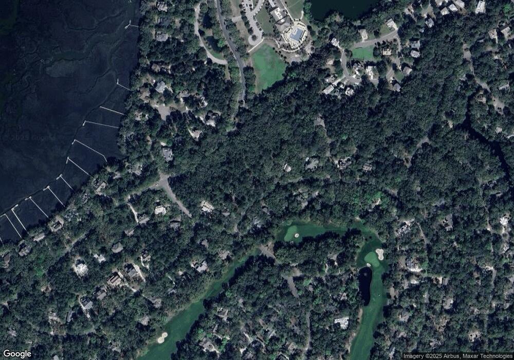
Map
Nearby Homes
- 2128 Royal Pine Dr
- 2706 Old Oak Walk
- 1614 Live Oak Park Unit 1614
- 1619 Live Oak Park Unit 1619
- 1627 Live Oak Park
- 1721 Live Oak Park
- 1723 Live Oak Park
- 4021 Bridle Trail Dr
- 1638 Live Oak Park Unit 1638
- 1640 Live Oak Park
- 4005 Bridle Trail Dr
- 3232 Seabrook Island Rd
- 2472 Racquet Club Dr
- 2106 Kings Pine Dr
- 2063 Long Bend Dr
- 2549 Clear Marsh Rd
- 2020 Long Bend Dr
- 1403 Dune Loft Villas
- 2422 Racquet Club Dr Unit 2422
- 1212 Creek Watch Trace
- 2808 Cap'N Sams
- 2812 Dove Nest Ct Unit L8/B2
- 2804 Captain Sams Rd
- 2805 Captain Sams Rd
- 2824 Dove Nest (L11 B2)
- 2824 Dove Nest Ct
- 2809 Capn Sams Rd
- 2816 Dove Nest (L9 B2)
- 2816 Dove Nest Ct
- 2856 Baywood Dr
- 2800 Captain Sams Rd
- 2800 Capn Sams Rd
- 2813 Capn Sams Rd
- 2331 Seabrook Island Rd
- 2813 Captain Sams Rd
- 2820 Dove Nest Ct
- 2820 Dove Nest Ct
- 2336 Baywood Dr
- 2828 Partridge Walk Ct
- 2817 Captain Sams Rd