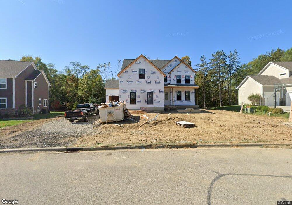
2808 Coltsbridge Dr Lewis Center, OH 43035
Orange NeighborhoodEstimated Value: $681,000 - $949,508
4
Beds
4
Baths
2,962
Sq Ft
$272/Sq Ft
Est. Value
About This Home
This home is located at 2808 Coltsbridge Dr, Lewis Center, OH 43035 and is currently estimated at $807,127, approximately $272 per square foot. 2808 Coltsbridge Dr is a home with nearby schools including Alum Creek Elementary School, Olentangy Shanahan Middle School, and Olentangy High School.
Ownership History
Date
Name
Owned For
Owner Type
Purchase Details
Closed on
May 16, 2019
Sold by
Brynwood Builders Llc
Bought by
Manpadi Sudharshan
Current Estimated Value
Purchase Details
Closed on
Dec 20, 2018
Sold by
Silvestri Group Llc
Bought by
Brynwood Builders Llc
Purchase Details
Closed on
Jul 28, 2016
Sold by
Olde State Farms Ltd
Bought by
Silvestri Group Llc
Create a Home Valuation Report for This Property
The Home Valuation Report is an in-depth analysis detailing your home's value as well as a comparison with similar homes in the area
Home Values in the Area
Average Home Value in this Area
Purchase History
| Date | Buyer | Sale Price | Title Company |
|---|---|---|---|
| Manpadi Sudharshan | $115,000 | Stewart Title Box | |
| Brynwood Builders Llc | $99,000 | None Available | |
| Silvestri Group Llc | $88,500 | Attorney |
Source: Public Records
Mortgage History
| Date | Status | Borrower | Loan Amount |
|---|---|---|---|
| Closed | Manpadi Sudharshan | $0 |
Source: Public Records
Tax History Compared to Growth
Tax History
| Year | Tax Paid | Tax Assessment Tax Assessment Total Assessment is a certain percentage of the fair market value that is determined by local assessors to be the total taxable value of land and additions on the property. | Land | Improvement |
|---|---|---|---|---|
| 2024 | $17,251 | $295,680 | $44,870 | $250,810 |
| 2023 | $17,301 | $295,680 | $44,870 | $250,810 |
| 2022 | $12,847 | $183,750 | $30,800 | $152,950 |
| 2021 | $13,279 | $183,750 | $30,800 | $152,950 |
| 2020 | $6,216 | $87,500 | $30,800 | $56,700 |
| 2019 | $1,939 | $27,720 | $27,720 | $0 |
| 2018 | $1,938 | $27,720 | $27,720 | $0 |
| 2017 | $1,756 | $23,520 | $23,520 | $0 |
| 2016 | $1,747 | $23,520 | $23,520 | $0 |
| 2015 | $1,602 | $23,520 | $23,520 | $0 |
| 2014 | $1,624 | $23,520 | $23,520 | $0 |
| 2013 | $1,661 | $23,520 | $23,520 | $0 |
Source: Public Records
Map
Nearby Homes
- 2771 Abbey Knoll Dr
- 2515 Coltsbridge Dr
- 2840 Waukeegan Ave
- 1915 Myrtle St
- 3177 Shoreline Dr
- 3144 Abbey Knoll Dr
- 0 E Orange Rd
- 2567 Carmel Dr
- 6566 Morningside Dr
- 1811 Ivy St
- 1929 Rocklake Ct
- 6440 Morningside Dr
- 1654 Sunflower St
- 7698 Gladshire Blvd
- 2868 Lewis Center Rd
- 2946 Lewis Center Rd
- 5669 Maplewood Ct
- 7631 Pleasant Colony Ct
- 7787 Holderman St
- 2070 Alum Village Dr
- 2798 Coltsbridge Dr
- 2816 Coltsbridge Dr
- 2719 Bromfield Place
- 2780 Coltsbridge Dr
- 2707 Bromfield Place
- 2811 Coltsbridge Dr
- 2793 Coltsbridge Dr
- 2758 Coltsbridge Dr
- 2725 Bromfield Place
- 2693 Bromfield Place
- 2848 Coltsbridge Dr
- 2736 Coltsbridge Dr
- 2783 Coltsbridge Dr
- 2771 Coltsbridge Dr
- 2680 Twin Pines Loop
- 2759 Coltsbridge Dr
- 2859 Coltsbridge Dr
- 2720 Bromfield Place
- 2714 Coltsbridge Dr
- 2868 Coltsbridge Dr