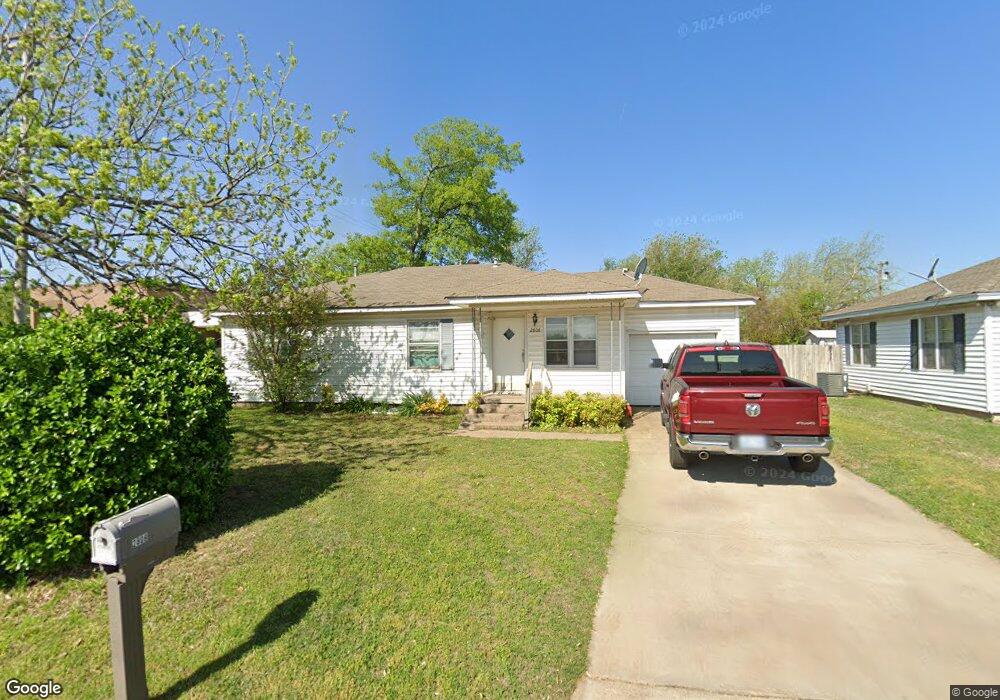
2808 N Union Ave Shawnee, OK 74804
Estimated Value: $100,765 - $149,000
3
Beds
1
Bath
1,080
Sq Ft
$121/Sq Ft
Est. Value
About This Home
This home is located at 2808 N Union Ave, Shawnee, OK 74804 and is currently estimated at $130,191, approximately $120 per square foot. 2808 N Union Ave is a home located in Pottawatomie County with nearby schools including Will Rogers Elementary School, Shawnee Middle School, and Shawnee High School.
Ownership History
Date
Name
Owned For
Owner Type
Purchase Details
Closed on
Apr 27, 2012
Sold by
Cantwell Audrey
Bought by
Rinderer William and Rinderer Lois
Current Estimated Value
Purchase Details
Closed on
Nov 10, 1993
Sold by
Fisher Patricia
Bought by
Cantwell Francis
Purchase Details
Closed on
Jan 27, 1993
Sold by
Fisher Patricia
Bought by
Plmf Family Trust
Purchase Details
Closed on
Aug 7, 1992
Sold by
Hopkins James and Hopkins Bernice
Bought by
Fisher Patricia
Create a Home Valuation Report for This Property
The Home Valuation Report is an in-depth analysis detailing your home's value as well as a comparison with similar homes in the area
Home Values in the Area
Average Home Value in this Area
Purchase History
| Date | Buyer | Sale Price | Title Company |
|---|---|---|---|
| Rinderer William | -- | None Available | |
| Cantwell Francis | $42,000 | -- | |
| Plmf Family Trust | -- | -- | |
| Fisher Patricia | $30,500 | -- |
Source: Public Records
Tax History Compared to Growth
Tax History
| Year | Tax Paid | Tax Assessment Tax Assessment Total Assessment is a certain percentage of the fair market value that is determined by local assessors to be the total taxable value of land and additions on the property. | Land | Improvement |
|---|---|---|---|---|
| 2024 | $468 | $4,707 | $555 | $4,152 |
| 2023 | $468 | $4,483 | $552 | $3,931 |
| 2022 | $438 | $4,270 | $526 | $3,744 |
| 2021 | $410 | $4,270 | $526 | $3,744 |
| 2020 | $391 | $3,872 | $477 | $3,395 |
| 2019 | $385 | $3,688 | $444 | $3,244 |
| 2018 | $359 | $3,512 | $423 | $3,089 |
| 2017 | $338 | $3,345 | $463 | $2,882 |
| 2016 | $303 | $3,187 | $446 | $2,741 |
| 2015 | $303 | $3,034 | $425 | $2,609 |
| 2014 | $195 | $2,946 | $660 | $2,286 |
Source: Public Records
Map
Nearby Homes
- 3306 N Oklahoma Ave
- 9 E Chicago St
- 2415 N Minnesota Cir
- 2304 N Tucker Ave
- 806 E Midland St
- 202 W Franklin St
- 43138 Rain Rd
- 43147 Rain Rd
- 401 E Federal St
- 2021 N Broadway Ave
- 1901 N Bell Ave
- 2001 N Mckinley Ave
- 1925 N Park Ave
- 1817 N Bell Ave
- 1822 N Phil Ave
- 27 N Rice Ave
- 64 Northridge Rd
- 13 Brentwood Place
- 1301 Manchester
- 1816 N Bell Ave
- 2814 N Union Ave
- 2820 N Union Ave
- 2824 N Union Ave
- 2830 N Union Ave
- 2801 N Bell Ave
- 2803 N Bell Ave
- 2821 N Bell Ave
- 3308 N Union Ave
- 3310 N Union Ave
- 2901 N Bell Ave
- 3313 N Union Ave
- 2809 N Union Ave
- 2808 N Bell Ave
- 2802 N Bell Ave
- 12 E Macarthur St
- 2824 N Bell Ave
- 3315 N Union Ave
- 2902 N Bell Ave
- 3316 N Union Ave
- 2929 N Bell Ave