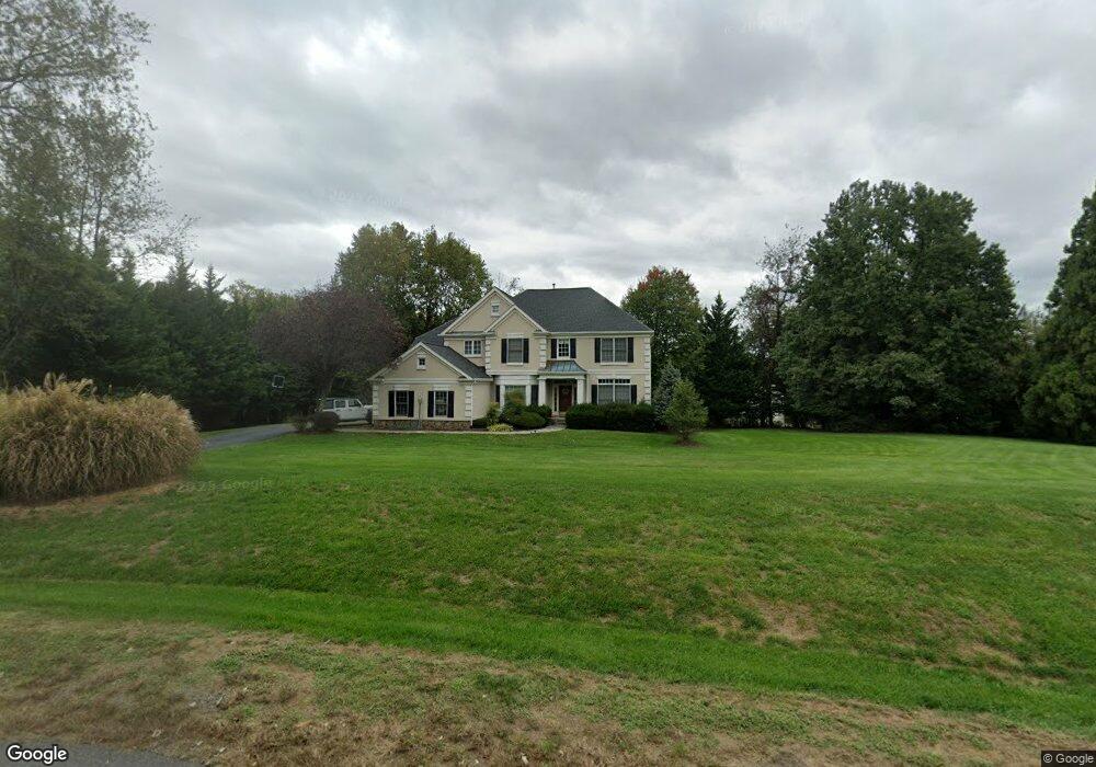
2809 Crossfields Way Herndon, VA 20171
Foxvale NeighborhoodEstimated Value: $1,224,000 - $1,416,000
4
Beds
4
Baths
3,293
Sq Ft
$393/Sq Ft
Est. Value
About This Home
This home is located at 2809 Crossfields Way, Herndon, VA 20171 and is currently estimated at $1,293,739, approximately $392 per square foot. 2809 Crossfields Way is a home located in Fairfax County with nearby schools including Crossfield Elementary, Rachel Carson Middle School, and Oakton High.
Ownership History
Date
Name
Owned For
Owner Type
Purchase Details
Closed on
Sep 10, 2014
Sold by
Lamont Douglas W and Lamont Deborah B
Bought by
Lamont Douglas W and Lamont Family Trust
Current Estimated Value
Purchase Details
Closed on
Jun 30, 1997
Sold by
Edgemoore Crossfields Lp
Bought by
Lamont Douglas W and Lamont Deborah B
Home Financials for this Owner
Home Financials are based on the most recent Mortgage that was taken out on this home.
Original Mortgage
$310,000
Interest Rate
7.81%
Mortgage Type
New Conventional
Create a Home Valuation Report for This Property
The Home Valuation Report is an in-depth analysis detailing your home's value as well as a comparison with similar homes in the area
Home Values in the Area
Average Home Value in this Area
Purchase History
| Date | Buyer | Sale Price | Title Company |
|---|---|---|---|
| Lamont Douglas W | -- | -- | |
| Lamont Douglas W | $454,910 | -- |
Source: Public Records
Mortgage History
| Date | Status | Borrower | Loan Amount |
|---|---|---|---|
| Previous Owner | Lamont Douglas W | $310,000 |
Source: Public Records
Tax History
| Year | Tax Paid | Tax Assessment Tax Assessment Total Assessment is a certain percentage of the fair market value that is determined by local assessors to be the total taxable value of land and additions on the property. | Land | Improvement |
|---|---|---|---|---|
| 2025 | $12,991 | $1,235,120 | $483,000 | $752,120 |
| 2024 | $12,991 | $1,121,380 | $473,000 | $648,380 |
| 2023 | $12,655 | $1,121,380 | $473,000 | $648,380 |
| 2022 | $12,378 | $1,082,490 | $453,000 | $629,490 |
| 2021 | $10,925 | $930,980 | $443,000 | $487,980 |
| 2020 | $10,743 | $907,740 | $443,000 | $464,740 |
| 2019 | $10,473 | $884,890 | $433,000 | $451,890 |
| 2018 | $10,473 | $884,890 | $433,000 | $451,890 |
| 2017 | $10,274 | $884,890 | $433,000 | $451,890 |
| 2016 | $10,707 | $924,190 | $433,000 | $491,190 |
Source: Public Records
Map
Nearby Homes
- 12405 Myterra Way
- 12741 Oak Farms Dr
- 12321 Folkstone Dr
- 12012 Canter Ln
- 2615 Steeplechase Dr
- 12709 Bradwell Rd
- 12771 Flat Meadow Ln
- 3140 Searsmont Place
- 3142 Searsmont Place
- 3144 Searsmont Place
- 12517 Fox View Way
- 3203 W Ox Rd
- 3221 Spring Rain Ct
- 12704 Autumn Crest Dr
- 12903 Pinecrest Rd
- 11612 Clipstone Ln
- 2502 Woodcutter Ct
- 11713 Stillbrook Ct
- 2790 Mansway Dr
- 2396 Branleigh Park Ct
- 2813 Crossfields Way
- 2793 Dylan Schar Ct
- 12395 Lawyers Rd
- 2808 Crossfields Way
- 2800 Crossfields Way
- 2817 Crossfields Way
- 2791 Dylan Schar Ct
- 12345 Lawyers Rd
- 2816 Crossfields Way
- 2792 Dylan Schar Ct
- 2804 Crossfields Way
- 12376 Clareth Dr
- 2790 Dylan Schar Ct
- 12501 Reign Ct
- 12365 Clareth Dr
- 12500 Reign Ct
- 12409 Lawyers Rd
- 12314 Delevan Dr
- 2752 Blueberry Farm Ln
- 2754 Blueberry Farm Ln
Your Personal Tour Guide
Ask me questions while you tour the home.