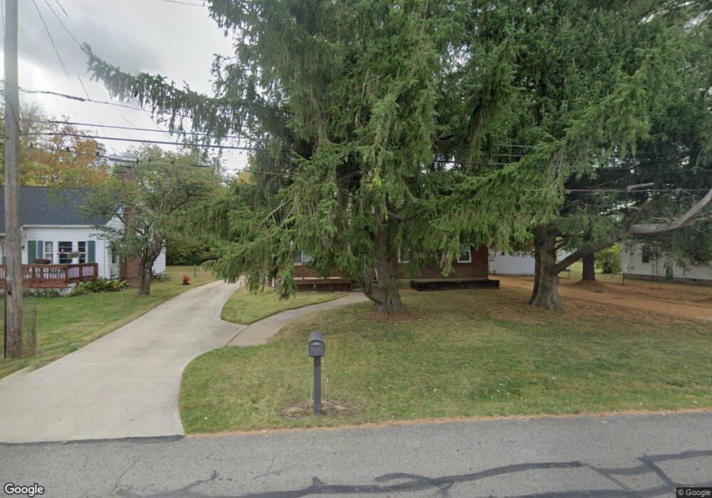
2809 Dwight Rd Springfield, OH 45503
Estimated Value: $153,000 - $192,000
3
Beds
1
Bath
1,366
Sq Ft
$123/Sq Ft
Est. Value
About This Home
This home is located at 2809 Dwight Rd, Springfield, OH 45503 and is currently estimated at $168,519, approximately $123 per square foot. 2809 Dwight Rd is a home located in Clark County with nearby schools including Warder Park-Wayne Elementary School, Schaefer Middle School, and Springfield High School.
Ownership History
Date
Name
Owned For
Owner Type
Purchase Details
Closed on
Feb 11, 2024
Sold by
Abbey Allan and Abbey Christina
Bought by
Jarrett L Abbey Revocable Trust and Abbey
Current Estimated Value
Purchase Details
Closed on
Feb 23, 2018
Sold by
Abbey Jarrett L and Paige Shawn S
Bought by
Abbey Allan
Purchase Details
Closed on
Dec 12, 2009
Sold by
Abbey Christina
Bought by
Abbey Jarrett L
Purchase Details
Closed on
May 1, 1981
Sold by
Herzog John S and Herzog Martha M
Bought by
Herzog Martha M
Create a Home Valuation Report for This Property
The Home Valuation Report is an in-depth analysis detailing your home's value as well as a comparison with similar homes in the area
Home Values in the Area
Average Home Value in this Area
Purchase History
| Date | Buyer | Sale Price | Title Company |
|---|---|---|---|
| Jarrett L Abbey Revocable Trust | $50,000 | None Listed On Document | |
| Jarrett L Abbey Revocable Trust | $50,000 | None Listed On Document | |
| Abbey Allan | $48,000 | None Available | |
| Abbey Jarrett L | $48,000 | Attorney | |
| Herzog Martha M | -- | -- |
Source: Public Records
Tax History
| Year | Tax Paid | Tax Assessment Tax Assessment Total Assessment is a certain percentage of the fair market value that is determined by local assessors to be the total taxable value of land and additions on the property. | Land | Improvement |
|---|---|---|---|---|
| 2025 | $2,423 | $58,920 | $9,640 | $49,280 |
| 2024 | $2,362 | $47,230 | $8,010 | $39,220 |
| 2023 | $2,362 | $47,230 | $8,010 | $39,220 |
| 2022 | $2,417 | $47,230 | $8,010 | $39,220 |
| 2021 | $2,093 | $37,150 | $6,260 | $30,890 |
| 2020 | $2,098 | $37,150 | $6,260 | $30,890 |
| 2019 | $2,103 | $37,150 | $6,260 | $30,890 |
| 2018 | $1,896 | $31,980 | $4,690 | $27,290 |
| 2017 | $1,894 | $31,980 | $4,694 | $27,286 |
| 2016 | $1,897 | $31,980 | $4,694 | $27,286 |
| 2015 | $1,877 | $30,979 | $4,694 | $26,285 |
| 2014 | $1,869 | $30,979 | $4,694 | $26,285 |
| 2013 | $866 | $14,519 | $4,694 | $9,825 |
Source: Public Records
Map
Nearby Homes
- 2845 Columbus Ave Unit 5
- 907 Bellevue Ave
- 207 Roseland Ave W
- 515 Bellevue Ave
- 419 Bellevue Ave
- 2201 Woodside Ave
- 2226 Columbus Ave
- 2224-2226 Columbus Ave
- 129 N Burnett Rd
- 2124 Woodside Ave
- 2210 Larch St
- 2691 Tecumseh Ave
- 1519 Edgewood Ave
- 2702 Maplewood Ave
- 2111 Beatrice St
- 2023 Cleveland Ave
- 121 Willis Ave
- 2020 Woodside Ave
- 3114 Columbus Ave
- 115 S Burnett Rd
- 2803 Dwight Rd
- 2813 Dwight Rd
- 2801 Dwight Rd
- 731 Patrick Rd
- 2817 Dwight Rd
- 2810 Marshall Rd
- 738 Patrick Rd
- 2821 Dwight Rd
- 2745 Dwight Rd
- 2820 Marshall Rd
- 2816 Marshall Rd
- 726 Patrick Rd
- 735 Dwight Rd
- 2880 Dwight Rd
- 2880 Dwight Rd
- 741 Dwight Rd
- 2741 Dwight Rd
- 729 Dwight Rd
- 2744 Dwight Rd
- 737 Patrick Rd
Your Personal Tour Guide
Ask me questions while you tour the home.