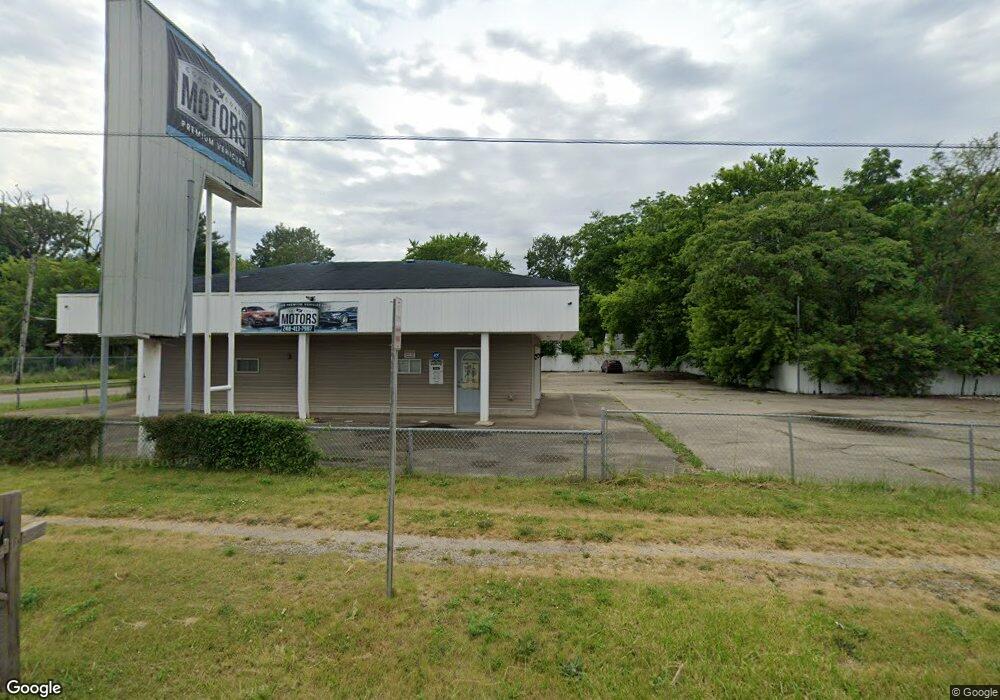
2809 N Dort Hwy Flint, MI 48506
Eastside NeighborhoodEstimated Value: $105,220
--
Bed
--
Bath
1,125
Sq Ft
$94/Sq Ft
Est. Value
About This Home
This home is located at 2809 N Dort Hwy, Flint, MI 48506 and is currently estimated at $105,220, approximately $93 per square foot. 2809 N Dort Hwy is a home located in Genesee County with nearby schools including Potter School, Richfield Public School Academy, and Richfield Early Learning Center.
Ownership History
Date
Name
Owned For
Owner Type
Purchase Details
Closed on
Jan 26, 2018
Sold by
Tinnin Laurie L
Bought by
2809 N Dort Hwy Llc
Current Estimated Value
Purchase Details
Closed on
Oct 10, 2017
Sold by
Genesse County Land Bank Authority
Bought by
Tinnin Kenneth L and Tinnin Laurie L
Purchase Details
Closed on
Jan 25, 2016
Sold by
The Genesee County Land Bank Authority
Bought by
Tinnin Kenneth L and Tinnin Laurie L
Home Financials for this Owner
Home Financials are based on the most recent Mortgage that was taken out on this home.
Original Mortgage
$4,500
Interest Rate
7%
Mortgage Type
Seller Take Back
Purchase Details
Closed on
Dec 21, 2011
Sold by
Genesee County Treasurer
Bought by
Genesee County Land Bank
Create a Home Valuation Report for This Property
The Home Valuation Report is an in-depth analysis detailing your home's value as well as a comparison with similar homes in the area
Home Values in the Area
Average Home Value in this Area
Purchase History
| Date | Buyer | Sale Price | Title Company |
|---|---|---|---|
| 2809 N Dort Hwy Llc | $63,500 | Mason Buress Title Agency | |
| Tinnin Kenneth L | -- | None Available | |
| Tinnin Kenneth L | $5,000 | None Available | |
| Genesee County Land Bank | -- | None Available |
Source: Public Records
Mortgage History
| Date | Status | Borrower | Loan Amount |
|---|---|---|---|
| Previous Owner | Tinnin Kenneth L | $4,500 |
Source: Public Records
Tax History Compared to Growth
Tax History
| Year | Tax Paid | Tax Assessment Tax Assessment Total Assessment is a certain percentage of the fair market value that is determined by local assessors to be the total taxable value of land and additions on the property. | Land | Improvement |
|---|---|---|---|---|
| 2025 | $3,394 | $56,100 | $0 | $0 |
| 2024 | $3,074 | $46,600 | $0 | $0 |
| 2023 | $2,977 | $45,100 | $0 | $0 |
| 2022 | $3,131 | $47,200 | $0 | $0 |
| 2021 | $3,083 | $41,700 | $0 | $0 |
| 2020 | $2,765 | $41,000 | $0 | $0 |
| 2019 | $2,655 | $39,900 | $0 | $0 |
| 2018 | $3,778 | $59,100 | $0 | $0 |
| 2017 | $2,681 | $0 | $0 | $0 |
Source: Public Records
Map
Nearby Homes
- 2426 Hoff St
- 2719 Branch Rd
- 2211 Torrance St
- 3116 Beechwood Ave
- 3010 Wyoming Ave
- 2506 Arlington Ave
- 3214 Maryland Ave
- 2225 Arlington Ave
- 3149 Whittier Ave
- 3220 Woodrow Ave
- 1733 Oklahoma Ave
- 3702 Branch Rd
- 3205 Holly Ave
- 1805 Montana Ave
- 1721 New York Ave
- 3601 Twilight Dr
- 1814 Mabel Ave
- 3710 Branch Rd
- 1805 Bennett Ave
- 3226 Mcclure Ave
- 2714 Dakota Ave
- 2710 Dakota Ave
- 2705 Maryland Ave
- 2706 Dakota Ave
- 2701 Maryland Ave
- 2702 Dakota Ave
- 2621 Maryland Ave
- 2710 Maryland Ave
- 2622 Dakota Ave
- 2706 Maryland Ave
- 2619 Maryland Ave
- 2709 Dakota Ave
- 2702 Maryland Ave
- 2705 Dakota Ave
- 2615 Maryland Ave
- 2701 Dakota Ave
- 2713 Delaware Ave
- 2705 Delaware Ave
- 2611 Maryland Ave
- 2616 Maryland Ave