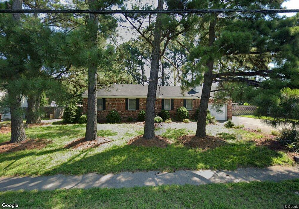
2809 Taylor Rd Chesapeake, VA 23321
Western Branch NeighborhoodEstimated Value: $339,000 - $377,886
3
Beds
2
Baths
1,644
Sq Ft
$219/Sq Ft
Est. Value
About This Home
This home is located at 2809 Taylor Rd, Chesapeake, VA 23321 and is currently estimated at $360,472, approximately $219 per square foot. 2809 Taylor Rd is a home located in Chesapeake City with nearby schools including Western Branch Primary School, Western Branch Intermediate School, and Western Branch Middle School.
Ownership History
Date
Name
Owned For
Owner Type
Purchase Details
Closed on
Jan 22, 2024
Sold by
Moore Maxine L
Bought by
Moore Maxine L and Moore Gretchen
Current Estimated Value
Purchase Details
Closed on
Jul 7, 2015
Sold by
Moore Edward D and Moore Maxine L
Bought by
Moore Edward D
Home Financials for this Owner
Home Financials are based on the most recent Mortgage that was taken out on this home.
Original Mortgage
$195,395
Interest Rate
3.87%
Mortgage Type
FHA
Create a Home Valuation Report for This Property
The Home Valuation Report is an in-depth analysis detailing your home's value as well as a comparison with similar homes in the area
Home Values in the Area
Average Home Value in this Area
Purchase History
| Date | Buyer | Sale Price | Title Company |
|---|---|---|---|
| Moore Maxine L | -- | None Listed On Document | |
| Moore Edward D | -- | None Available |
Source: Public Records
Mortgage History
| Date | Status | Borrower | Loan Amount |
|---|---|---|---|
| Previous Owner | Moore Edward D | $195,395 |
Source: Public Records
Tax History
| Year | Tax Paid | Tax Assessment Tax Assessment Total Assessment is a certain percentage of the fair market value that is determined by local assessors to be the total taxable value of land and additions on the property. | Land | Improvement |
|---|---|---|---|---|
| 2025 | $3,398 | $349,900 | $145,000 | $204,900 |
| 2024 | $3,398 | $336,400 | $145,000 | $191,400 |
| 2023 | $2,944 | $316,600 | $135,000 | $181,600 |
| 2022 | $2,948 | $291,900 | $125,000 | $166,900 |
| 2021 | $2,682 | $255,400 | $95,000 | $160,400 |
| 2020 | $2,585 | $246,200 | $90,000 | $156,200 |
| 2019 | $2,518 | $239,800 | $85,000 | $154,800 |
| 2018 | $2,398 | $222,700 | $75,000 | $147,700 |
| 2017 | $2,432 | $231,600 | $75,000 | $156,600 |
| 2016 | $2,338 | $222,700 | $75,000 | $147,700 |
| 2015 | $2,338 | $222,700 | $75,000 | $147,700 |
| 2014 | $2,338 | $222,700 | $75,000 | $147,700 |
Source: Public Records
Map
Nearby Homes
- 2702 Faulkner Dr
- 2309 Drum Creek Rd
- 2330 Alcott Way
- 2314 Alcott Way
- 2406 Drum Creek Rd
- 4212 McKenna Close
- 4415 McCaan Quay
- 4500 McRae Close
- 4314 Farringdon Way
- 4513 Overlook Place
- 4165 Stonebridge Landing
- 604 Fife St
- 2455 Leytonstone Dr Unit 63
- 3029 Crossings Dr
- 4332 Farringdon Way
- 2469 Leytonstone Dr Unit 106
- 4209 Stonebridge Landing
- 4308 Colindale Rd Unit 107
- 3347 Reserve Trail
- 4524 Winnie Dr
- 2813 Taylor Rd
- 2805 Taylor Rd
- 2809 Point Harbor Ct
- 2813 Point Harbor Ct
- 2815 Taylor Rd
- 2801 Taylor Rd
- 2805 Point Harbor Ct
- 2460 Whitman St
- 2458 Whitman St
- 2812 Point Harbor Ct
- 2504 N Elizabeth Harbor Dr
- 2454 Whitman St
- 2456 Whitman St
- 2457 Whitman St
- 2801 Point Harbor Ct
- 2459 Whitman St
- 2808 Point Harbor Ct
- 2817 Taylor Rd
- 2453 Whitman St
- 2446 Whitman St
Your Personal Tour Guide
Ask me questions while you tour the home.