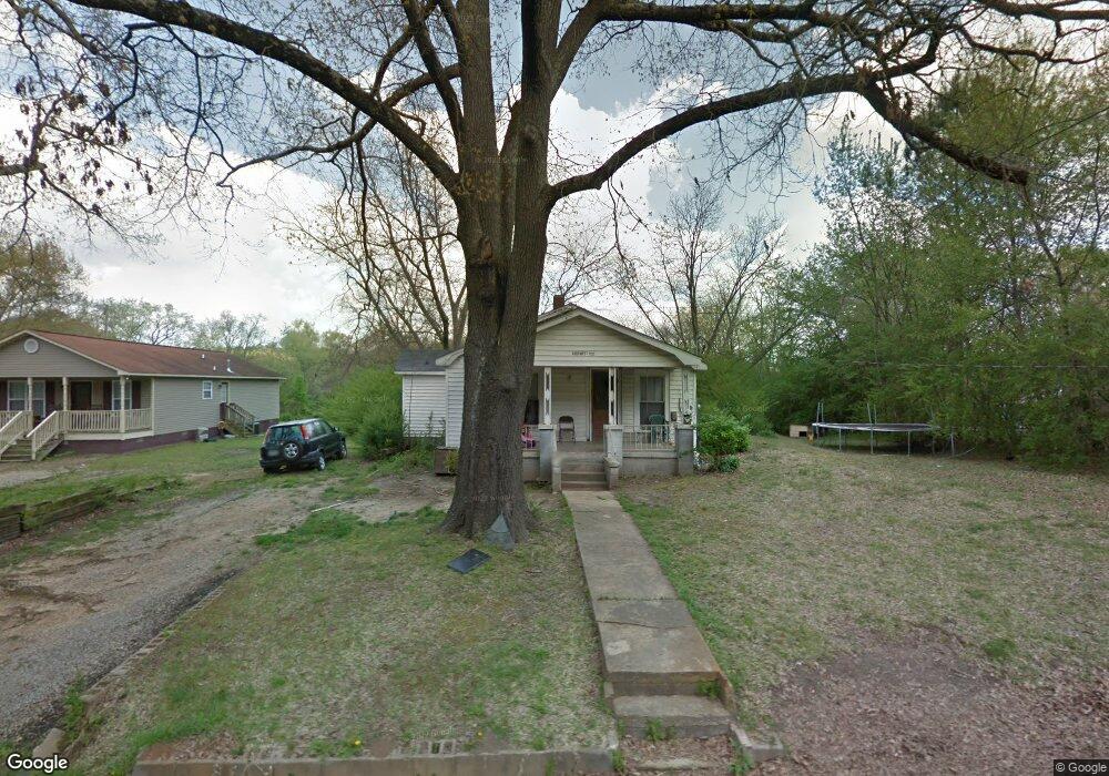
2809 W 11th St Anniston, AL 36201
Estimated Value: $73,124 - $108,000
--
Bed
--
Bath
1,264
Sq Ft
$71/Sq Ft
Est. Value
About This Home
This home is located at 2809 W 11th St, Anniston, AL 36201 and is currently estimated at $90,031, approximately $71 per square foot. 2809 W 11th St is a home located in Calhoun County with nearby schools including Wellborn Elementary School, Wellborn High School, and The Donoho School.
Ownership History
Date
Name
Owned For
Owner Type
Purchase Details
Closed on
Oct 8, 2021
Sold by
Noye Eddie M
Bought by
Elston Joyce
Current Estimated Value
Purchase Details
Closed on
Sep 22, 2021
Sold by
Mcmath Marguetta
Bought by
Noye Eddie M
Purchase Details
Closed on
Sep 16, 2021
Sold by
English Gino
Bought by
Noye Eddie M
Purchase Details
Closed on
Sep 15, 2021
Sold by
English Orlando
Bought by
Noye Eddie M
Purchase Details
Closed on
Jul 15, 2021
Sold by
English Rochell
Bought by
Noye Eddie M
Purchase Details
Closed on
Apr 20, 2021
Sold by
English Tawan
Bought by
Noye Eddie M
Purchase Details
Closed on
Mar 23, 2021
Sold by
Kirkland Janet R
Bought by
Noye Eddie M
Purchase Details
Closed on
Mar 8, 2021
Sold by
Kirkland Charles
Bought by
Noye Eddie M
Purchase Details
Closed on
Mar 2, 2021
Sold by
Clayborn Marshay
Bought by
Noye Eddie M
Create a Home Valuation Report for This Property
The Home Valuation Report is an in-depth analysis detailing your home's value as well as a comparison with similar homes in the area
Home Values in the Area
Average Home Value in this Area
Purchase History
| Date | Buyer | Sale Price | Title Company |
|---|---|---|---|
| Elston Joyce | -- | None Available | |
| Noye Eddie M | -- | None Available | |
| Noye Eddie M | -- | None Available | |
| Noye Eddie M | -- | None Available | |
| Noye Eddie M | -- | None Available | |
| Noye Eddie M | -- | None Available | |
| Noye Eddie M | -- | None Available | |
| Noye Eddie M | -- | None Available | |
| Noye Eddie M | -- | None Available | |
| Noye Eddie M | -- | None Available | |
| Noye Eddie M | -- | None Available |
Source: Public Records
Tax History Compared to Growth
Tax History
| Year | Tax Paid | Tax Assessment Tax Assessment Total Assessment is a certain percentage of the fair market value that is determined by local assessors to be the total taxable value of land and additions on the property. | Land | Improvement |
|---|---|---|---|---|
| 2024 | -- | $6,572 | $200 | $6,372 |
| 2023 | $263 | $6,572 | $200 | $6,372 |
| 2022 | $292 | $3,646 | $200 | $3,446 |
| 2021 | $230 | $5,748 | $400 | $5,348 |
| 2020 | $230 | $5,748 | $400 | $5,348 |
| 2019 | $227 | $5,700 | $352 | $5,348 |
| 2018 | $228 | $5,700 | $0 | $0 |
| 2017 | $201 | $5,020 | $0 | $0 |
| 2016 | $201 | $5,020 | $0 | $0 |
| 2013 | -- | $4,780 | $0 | $0 |
Source: Public Records
Map
Nearby Homes
- 0 Franklin Ave Unit In 21402057
- 0 W 24th St Unit 21433836
- 0 Spiral St Unit 21413442
- 0 Highway 21 Unit 1 21394145
- 613 12th St W Unit F
- 1327 Appleton Ave Unit 1
- 0 S Central City Ln
- 1816 Pope St
- 0 Eulaton Rd Unit Land Only 21363939
- 1833 W 15th St
- 1816 W 16th St
- 1629 Parkwin Ave
- 200 Mountain View Rd
- 391 Pinson Rd
- 0 Francis Ave Unit 1301727
- 700 S Marshall St
- 0 Brockman St Unit 13 & 14 & 16 Thru 19
- 1725 & 1715 Mcdaniel Ave Unit 1715 & 1725
- 1708 W 24th St
- 1024 Claxton St