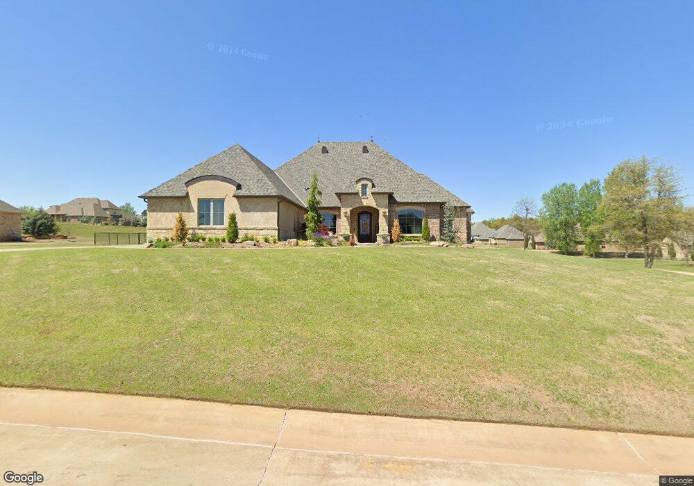
281 Beacon St Choctaw, OK 73020
Estimated Value: $455,000 - $595,000
--
Bed
--
Bath
3,508
Sq Ft
$152/Sq Ft
Est. Value
About This Home
This home is located at 281 Beacon St, Choctaw, OK 73020 and is currently estimated at $533,714, approximately $152 per square foot. 281 Beacon St is a home with nearby schools including L.W. Westfall Elementary School, Nicoma Park Middle School, and Choctaw High School.
Ownership History
Date
Name
Owned For
Owner Type
Purchase Details
Closed on
Jan 2, 2025
Sold by
Sanford Michael Eric and Sanford Bridget J
Bought by
Sanford Family Trust and Sanford
Current Estimated Value
Purchase Details
Closed on
Dec 23, 2013
Sold by
Davidson Development Company Llc
Bought by
Sanford Michael Eric and Sanford Bridget J
Home Financials for this Owner
Home Financials are based on the most recent Mortgage that was taken out on this home.
Original Mortgage
$35,497
Interest Rate
4.26%
Mortgage Type
Unknown
Create a Home Valuation Report for This Property
The Home Valuation Report is an in-depth analysis detailing your home's value as well as a comparison with similar homes in the area
Home Values in the Area
Average Home Value in this Area
Purchase History
| Date | Buyer | Sale Price | Title Company |
|---|---|---|---|
| Sanford Family Trust | -- | None Listed On Document | |
| Sanford Family Trust | -- | None Listed On Document | |
| Sanford Family Trust | -- | None Listed On Document | |
| Sanford Michael Eric | $50,000 | Capitol Abstract & Title Co |
Source: Public Records
Mortgage History
| Date | Status | Borrower | Loan Amount |
|---|---|---|---|
| Previous Owner | Sanford Michael Eric | $35,497 |
Source: Public Records
Tax History Compared to Growth
Tax History
| Year | Tax Paid | Tax Assessment Tax Assessment Total Assessment is a certain percentage of the fair market value that is determined by local assessors to be the total taxable value of land and additions on the property. | Land | Improvement |
|---|---|---|---|---|
| 2024 | $6,461 | $57,394 | $9,741 | $47,653 |
| 2023 | $6,461 | $55,723 | $8,942 | $46,781 |
| 2022 | $6,167 | $54,100 | $10,046 | $44,054 |
| 2021 | $5,986 | $52,525 | $10,856 | $41,669 |
| 2020 | $5,859 | $51,150 | $10,856 | $40,294 |
| 2019 | $5,701 | $49,762 | $10,339 | $39,423 |
| 2018 | $5,547 | $48,312 | $0 | $0 |
| 2017 | $5,370 | $46,905 | $5,786 | $41,119 |
| 2016 | $5,240 | $45,539 | $5,798 | $39,741 |
| 2015 | $5,208 | $44,212 | $20,034 | $24,178 |
| 2014 | $655 | $5,500 | $5,500 | $0 |
Source: Public Records
Map
Nearby Homes
- 14404 Ironside Dr
- 14248 MacKlay Ct
- 14356 NE 4th St
- 13868 E Reno Ave
- 571 Misty Morning Dr
- 714 Oak Park Dr
- 1006 Oak Park Dr
- 13801 NE 8th St
- 00000 Henney Rd
- 0 Morningside Dr
- 14374 Timberdale Dr
- 14388 Timberdale Dr
- 5601 S Henney Rd
- 0 Henney Rd
- 13722 NE 9th St
- 13723 Ravenswood Dr
- 0 Sycamore Ln
- 13374 Tamarack Place
- 14327 Redvine Rd
- 900 N Choctaw Rd
- 288 Old Branch Rd
- 235 Beacon St
- 365 Old Branch Rd
- 236 Old Branch Rd
- 371 Old Branch Rd
- 14419 Ironside Dr
- 280 Beacon St
- 199 Beacon St
- 14275 MacKlay Ct
- 312 Beacon St
- 184 Old Branch Rd
- 14423 Ironside Dr
- 259 Old Branch Rd
- 137 Beacon St
- 14267 MacKlay Ct
- 14271 Laney Ct
- 14461 Ironside Dr
- 14455 Ironside Dr
- 146 Old Branch Rd
- 14418 Ironside Dr
