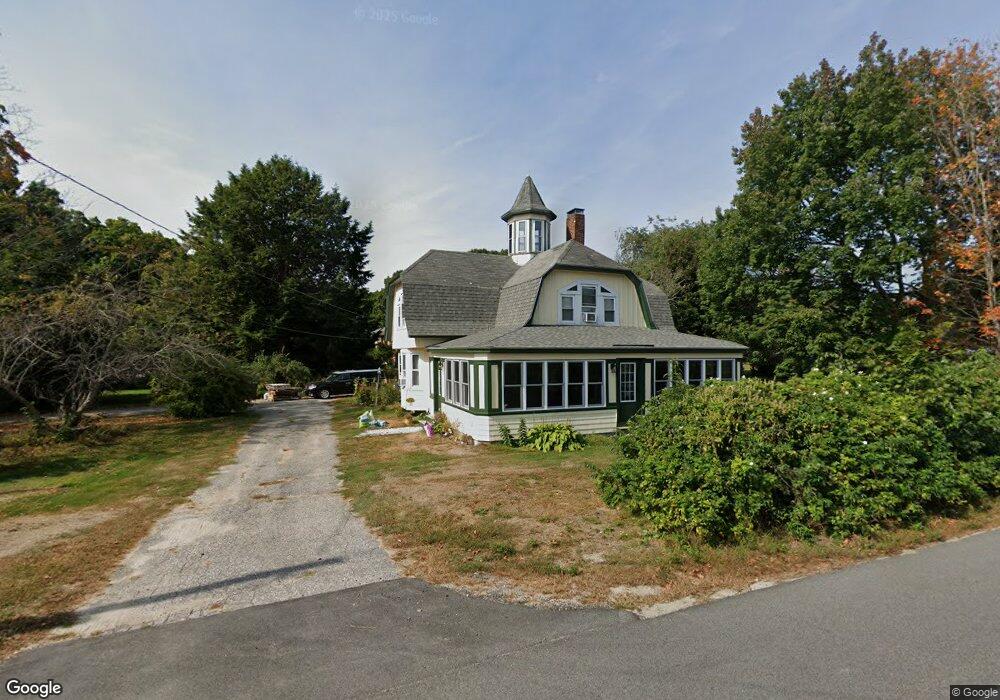
281 Black Point Rd Scarborough, ME 04074
Estimated Value: $619,000 - $708,000
3
Beds
2
Baths
1,786
Sq Ft
$370/Sq Ft
Est. Value
About This Home
This home is located at 281 Black Point Rd, Scarborough, ME 04074 and is currently estimated at $660,927, approximately $370 per square foot. 281 Black Point Rd is a home with nearby schools including Scarborough High School and Cornerstone Baptist Academy.
Ownership History
Date
Name
Owned For
Owner Type
Purchase Details
Closed on
Sep 15, 2016
Sold by
Hobbs Michael J Sr Est
Bought by
Hobbs David M
Current Estimated Value
Home Financials for this Owner
Home Financials are based on the most recent Mortgage that was taken out on this home.
Original Mortgage
$60,000
Interest Rate
3.43%
Mortgage Type
Commercial
Create a Home Valuation Report for This Property
The Home Valuation Report is an in-depth analysis detailing your home's value as well as a comparison with similar homes in the area
Home Values in the Area
Average Home Value in this Area
Purchase History
| Date | Buyer | Sale Price | Title Company |
|---|---|---|---|
| Hobbs David M | -- | -- |
Source: Public Records
Mortgage History
| Date | Status | Borrower | Loan Amount |
|---|---|---|---|
| Closed | Hobbs David M | $60,000 |
Source: Public Records
Tax History Compared to Growth
Tax History
| Year | Tax Paid | Tax Assessment Tax Assessment Total Assessment is a certain percentage of the fair market value that is determined by local assessors to be the total taxable value of land and additions on the property. | Land | Improvement |
|---|---|---|---|---|
| 2025 | $5,460 | $481,900 | $198,800 | $283,100 |
| 2024 | $5,267 | $481,900 | $198,800 | $283,100 |
| 2023 | $5,368 | $336,100 | $129,800 | $206,300 |
| 2022 | $5,208 | $338,400 | $129,800 | $208,600 |
| 2021 | $4,761 | $317,000 | $129,800 | $187,200 |
| 2020 | $4,711 | $317,000 | $129,800 | $187,200 |
| 2019 | $4,660 | $317,000 | $129,800 | $187,200 |
| 2017 | $3,920 | $237,700 | $128,700 | $109,000 |
| 2016 | $4,694 | $237,700 | $128,700 | $109,000 |
| 2015 | $3,682 | $237,700 | $128,700 | $109,000 |
| 2014 | $3,438 | $237,700 | $128,700 | $109,000 |
| 2013 | -- | $237,700 | $128,700 | $109,000 |
Source: Public Records
Map
Nearby Homes
- 23 Plover Ln Unit 33
- 1 Sandpiper Cove Rd
- 6 Atlantic Dr Unit 6
- 25 Atlantic Dr Unit 25
- 7 Atlantic Dr Unit 7
- 10 Highland Ave
- 9 Trestle Way
- Lot 5 Trestle Way
- 4 High Point Rd
- 1 Coralburst Ln
- 9 Coralburst Ln
- 31 Massacre Ln
- 2 Bayview Ave
- 24 Bayberry Ln
- 162 Fogg Rd
- 68 Jones Creek Dr
- 1 Teal Point Dr Unit 1
- 2 White Sands Ln
- 131 Spurwink Rd
- 44 Jones Creek Dr
- 3 Old Neck Rd
- 284 Black Point Rd
- 280 Black Point Rd
- 275 Black Point Rd
- 287 Black Point Rd
- 4 Old Neck Rd
- 5 Old Neck Rd
- 6 Old Neck Rd
- 273 Black Point Rd
- 289 Black Point Rd
- 7 Old Neck Rd
- 271 Black Point Rd
- 10 Old Neck Rd
- 270 Black Point Rd
- 9 Old Neck Rd
- 269 Black Point Rd
- 6 Hampton Cir
- 266 Black Point Rd
- 14 Old Neck Rd
- 12 Old Neck Rd