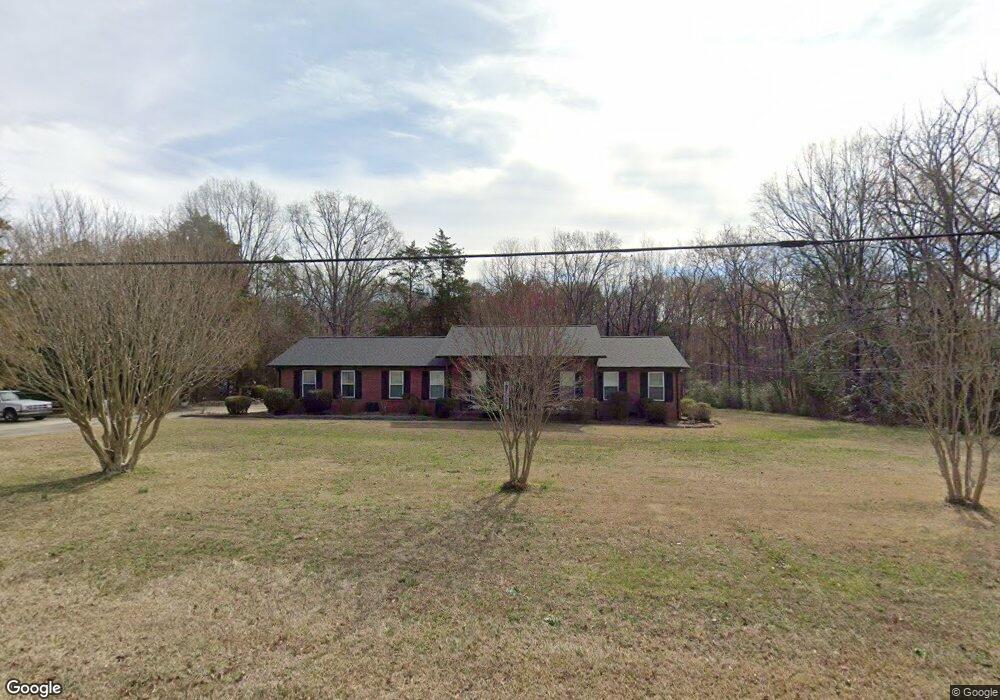
281 Edenvale Rd Rock Hill, SC 29730
Estimated Value: $240,000 - $409,000
3
Beds
2
Baths
1,724
Sq Ft
$182/Sq Ft
Est. Value
About This Home
This home is located at 281 Edenvale Rd, Rock Hill, SC 29730 and is currently estimated at $313,585, approximately $181 per square foot. 281 Edenvale Rd is a home located in York County with nearby schools including Independence Elementary School, Castle Heights Middle School, and Rock Hill High School.
Ownership History
Date
Name
Owned For
Owner Type
Purchase Details
Closed on
Oct 2, 2015
Sold by
Faile Robert Patrick
Bought by
Gillespie Amanda J
Current Estimated Value
Home Financials for this Owner
Home Financials are based on the most recent Mortgage that was taken out on this home.
Original Mortgage
$174,500
Outstanding Balance
$136,775
Interest Rate
3.93%
Mortgage Type
New Conventional
Estimated Equity
$176,810
Purchase Details
Closed on
Apr 10, 2015
Sold by
Estate Of Ruth Misenheimer Faile
Bought by
Faile Robert Patrick
Create a Home Valuation Report for This Property
The Home Valuation Report is an in-depth analysis detailing your home's value as well as a comparison with similar homes in the area
Home Values in the Area
Average Home Value in this Area
Purchase History
| Date | Buyer | Sale Price | Title Company |
|---|---|---|---|
| Gillespie Amanda J | $174,500 | -- | |
| Faile Robert Patrick | -- | -- | |
| Faile Robert Patrick | -- | -- |
Source: Public Records
Mortgage History
| Date | Status | Borrower | Loan Amount |
|---|---|---|---|
| Open | Gillespie Amanda J | $174,500 |
Source: Public Records
Tax History
| Year | Tax Paid | Tax Assessment Tax Assessment Total Assessment is a certain percentage of the fair market value that is determined by local assessors to be the total taxable value of land and additions on the property. | Land | Improvement |
|---|---|---|---|---|
| 2025 | $1,224 | $8,967 | $1,567 | $7,400 |
| 2024 | $1,095 | $7,797 | $1,011 | $6,786 |
| 2023 | $1,123 | $7,797 | $1,011 | $6,786 |
| 2022 | $1,127 | $7,797 | $1,011 | $6,786 |
| 2021 | -- | $7,797 | $1,011 | $6,786 |
| 2020 | $1,123 | $7,797 | $0 | $0 |
| 2019 | $1,024 | $6,780 | $0 | $0 |
| 2018 | $1,016 | $6,780 | $0 | $0 |
| 2017 | $957 | $6,780 | $0 | $0 |
| 2016 | $928 | $6,780 | $0 | $0 |
| 2014 | $389 | $7,020 | $1,680 | $5,340 |
| 2013 | $389 | $7,650 | $1,680 | $5,970 |
Source: Public Records
Map
Nearby Homes
- 489 & 491 Mimosa Rd Unit 3 & 9
- 153 Schoolside Dr
- 281 Schoolside Dr
- 1580 Anderson Rd S
- 2003 Capel Ct
- 622 Neelys Creek Rd
- 172 Neely Store Rd
- 127 Emily Crest Ln
- 3339 Lesslie Hwy Unit 2
- 104 Emily Crest Ln
- 3349 Lesslie Hwy Unit 3
- 631 Anderson Rd S
- 725 Lynville Ln
- 508 Bridgestone Ln
- 3367 Lesslie Hwy
- Tract 4 Porter Rd
- 508 Porter Rd
- 1907 Manning Place
- 549 Castlewood Cir
- 3943 Walker Rd
- 279 Edenvale Rd
- 295 Edenvale Rd
- 2591 Ferguson Dr
- 2592 Ferguson Dr
- 296 Edenvale Rd
- 256 Edenvale Rd
- 0 Ferguson Dr
- 2574 Ferguson Dr
- 2534 Fire Tower Rd
- 2554 Fire Tower Rd
- 308 Edenvale Rd
- 2575 Ferguson Dr
- 2559 Ferguson Dr
- 2625 Fire Tower Rd
- 2625 Fire Tower Rd
- 236 Edenvale Rd
- 233 Edenvale Rd
- 367 Edenvale Rd
- 524 Fowler Rd
- 39 Mimosa Rd
Your Personal Tour Guide
Ask me questions while you tour the home.