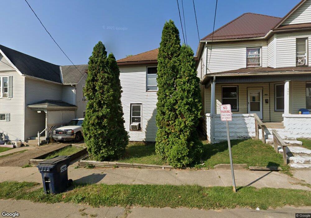
281 Elmwood Ave Newark, OH 43055
Estimated Value: $91,000 - $191,000
3
Beds
2
Baths
1,399
Sq Ft
$100/Sq Ft
Est. Value
About This Home
This home is located at 281 Elmwood Ave, Newark, OH 43055 and is currently estimated at $140,456, approximately $100 per square foot. 281 Elmwood Ave is a home located in Licking County with nearby schools including Hillview Elementary School, Heritage Middle School, and Newark High School.
Ownership History
Date
Name
Owned For
Owner Type
Purchase Details
Closed on
Nov 10, 2022
Sold by
Lowe Sondra
Bought by
Angus & Mac Property Solutions Llc
Current Estimated Value
Purchase Details
Closed on
Jan 9, 2015
Sold by
Whiteside John R and Whiteside June A
Bought by
Lowe Sondra
Purchase Details
Closed on
Mar 27, 2008
Sold by
Whiteside John R and Whiteside June A
Bought by
Whiteside John R and Whiteside June A
Purchase Details
Closed on
Jan 23, 2008
Sold by
Lasalle Bank Na
Bought by
Whiteside John
Purchase Details
Closed on
May 18, 2007
Sold by
Wente Richard A and Wente Gabrille A
Bought by
Lasalle Bank Na and Bear Stearns Asset Backed Certificates S
Create a Home Valuation Report for This Property
The Home Valuation Report is an in-depth analysis detailing your home's value as well as a comparison with similar homes in the area
Home Values in the Area
Average Home Value in this Area
Purchase History
| Date | Buyer | Sale Price | Title Company |
|---|---|---|---|
| Angus & Mac Property Solutions Llc | -- | -- | |
| Lowe Sondra | $33,000 | Ambassador Title Mail Box | |
| Whiteside John R | -- | Ambassador | |
| Whiteside John | $15,000 | Canton Title | |
| Lasalle Bank Na | $25,000 | None Available |
Source: Public Records
Tax History Compared to Growth
Tax History
| Year | Tax Paid | Tax Assessment Tax Assessment Total Assessment is a certain percentage of the fair market value that is determined by local assessors to be the total taxable value of land and additions on the property. | Land | Improvement |
|---|---|---|---|---|
| 2024 | $993 | $27,100 | $6,060 | $21,040 |
| 2023 | $991 | $27,100 | $6,060 | $21,040 |
| 2022 | $917 | $22,230 | $3,400 | $18,830 |
| 2021 | $962 | $22,230 | $3,400 | $18,830 |
| 2020 | $984 | $22,230 | $3,400 | $18,830 |
| 2019 | $798 | $17,330 | $2,840 | $14,490 |
| 2018 | $798 | $0 | $0 | $0 |
| 2017 | $1,008 | $0 | $0 | $0 |
| 2016 | $413 | $0 | $0 | $0 |
| 2015 | $211 | $0 | $0 | $0 |
| 2014 | $860 | $0 | $0 | $0 |
| 2013 | $346 | $0 | $0 | $0 |
Source: Public Records
Map
Nearby Homes
- 14 E Oak St
- 69 Wallace St
- 355 Hudson Ave
- 311 Clinton St
- 0 Clinton St
- 11 E Saint Clair St
- 27 W North St
- 383 Central Ave
- 63 Chestnut St
- 423 Hudson Ave
- 191 Elmwood Ave
- 51 E North St
- 247 Buckingham St
- 355 Eddy St
- 467 Mount Vernon Rd
- 333 N 10th St
- 542 Mount Vernon Rd
- 64 N 10th St
- 218 Granville St
- 137 Manning St
- 277 Elmwood Ave
- 285 Elmwood Ave
- 275 Elmwood Ave
- 274 Mount Vernon Rd
- 272 Mount Vernon Rd
- 282 Mount Vernon Rd
- 274 Elmwood Ave
- 286 Mt Vernon Rd
- 271 Elmwood Ave
- 295 Elmwood Ave
- 290 Elmwood Ave
- 286 Mount Vernon Rd
- 282 Elmwood Ave Unit 284
- 270 Mount Vernon Rd
- 270 Elmwood Ave
- 294 Elmwood Ave
- 294 Mount Vernon Rd
- 268 Elmwood Ave
- 290 Mount Vernon Rd
- 290 Mount Vernon Rd Unit 292