281 Laurel Brook Rd Newland, NC 28657
Estimated Value: $111,000 - $525,000
--
Bed
--
Bath
--
Sq Ft
0.31
Acres
About This Home
This home is located at 281 Laurel Brook Rd, Newland, NC 28657 and is currently estimated at $250,982. 281 Laurel Brook Rd is a home with nearby schools including Crossnore Elementary School, Avery Middle School, and Avery County High School.
Ownership History
Date
Name
Owned For
Owner Type
Purchase Details
Closed on
Jul 9, 2025
Sold by
Kessell Peter J and Kessell Marta C
Bought by
Kessell Living Trust and Kessell
Current Estimated Value
Purchase Details
Closed on
Jul 31, 2007
Sold by
Sherwood David R and Sherwood Adaluz E
Bought by
Kessell Peter J and Kessell Marta C
Purchase Details
Closed on
Jan 13, 2005
Sold by
Tilley W Allen and Tilley Nancy C
Bought by
Sherwood David R and Sherwood Adaluz E
Home Financials for this Owner
Home Financials are based on the most recent Mortgage that was taken out on this home.
Original Mortgage
$15,000
Interest Rate
5.71%
Mortgage Type
Purchase Money Mortgage
Create a Home Valuation Report for This Property
The Home Valuation Report is an in-depth analysis detailing your home's value as well as a comparison with similar homes in the area
Home Values in the Area
Average Home Value in this Area
Purchase History
| Date | Buyer | Sale Price | Title Company |
|---|---|---|---|
| Kessell Living Trust | -- | None Listed On Document | |
| Kessell Living Trust | -- | None Listed On Document | |
| Kessell Peter J | $54,000 | None Available | |
| Sherwood David R | $20,000 | None Available |
Source: Public Records
Mortgage History
| Date | Status | Borrower | Loan Amount |
|---|---|---|---|
| Previous Owner | Sherwood David R | $15,000 |
Source: Public Records
Tax History Compared to Growth
Tax History
| Year | Tax Paid | Tax Assessment Tax Assessment Total Assessment is a certain percentage of the fair market value that is determined by local assessors to be the total taxable value of land and additions on the property. | Land | Improvement |
|---|---|---|---|---|
| 2024 | $132 | $33,000 | $33,000 | -- |
| 2023 | $132 | $33,000 | $33,000 | $0 |
| 2022 | $132 | $33,000 | $33,000 | $0 |
| 2021 | $145 | $26,300 | $26,300 | $0 |
| 2020 | $145 | $26,300 | $26,300 | $0 |
| 2019 | $145 | $26,300 | $26,300 | $0 |
| 2018 | $145 | $26,300 | $26,300 | $0 |
| 2017 | $145 | $26,300 | $0 | $0 |
| 2016 | $118 | $26,300 | $0 | $0 |
| 2015 | $118 | $26,300 | $26,300 | $0 |
| 2012 | -- | $42,000 | $42,000 | $0 |
Source: Public Records
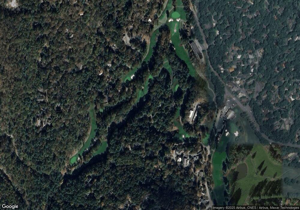
Map
Nearby Homes
- 6 Ridgewood Ln
- 17 Elderberry Loop
- 21 Dogwood Ln
- 33 Summit Ln
- 164 Rocky Meadows Rd
- 14 Briar Rd
- 335 Snowshoe Loop
- 185 Elderberry Loop
- 439 Locust Rd
- 476 Locust Rd
- 153 Delphinium Ln
- 57 Delphinium Ln
- 134 Goldfinch Rd
- 77 Delphinium Ln Unit 98
- 190 Spruce Pine Rd
- 183 Rhododendron Loop
- 123 Whispering Pine Loop
- 365 Trout Brook Loop
- 256 Locust Rd
- 339 Oak Hills Rd
- 257 Laurel Brook Rd
- 56 Woodpecker Ln
- 246 Laurel Brook Rd
- 34 Woodpecker Ln Unit 45
- 34 Woodpecker Ln
- 102 Laurel Brook Rd
- 52 Thorn Wood Loop
- 15 Woodpecker Ln
- 58 Thorn Wood Loop
- 42 Thorn Wood Loop
- 70 Thornwood Loop
- 70 Thorn Wood Loop
- 339 Laurel Brook Rd
- 74 Thorn Wood Loop
- 555 Trout Brook Loop
- 124 Laurel Brook Rd Unit Linville
- 47 Thorn Wood Loop
- 80 Thorn Wood Loop
- 115 Laurel Brook Rd
- 235 Laurel Brook Rd