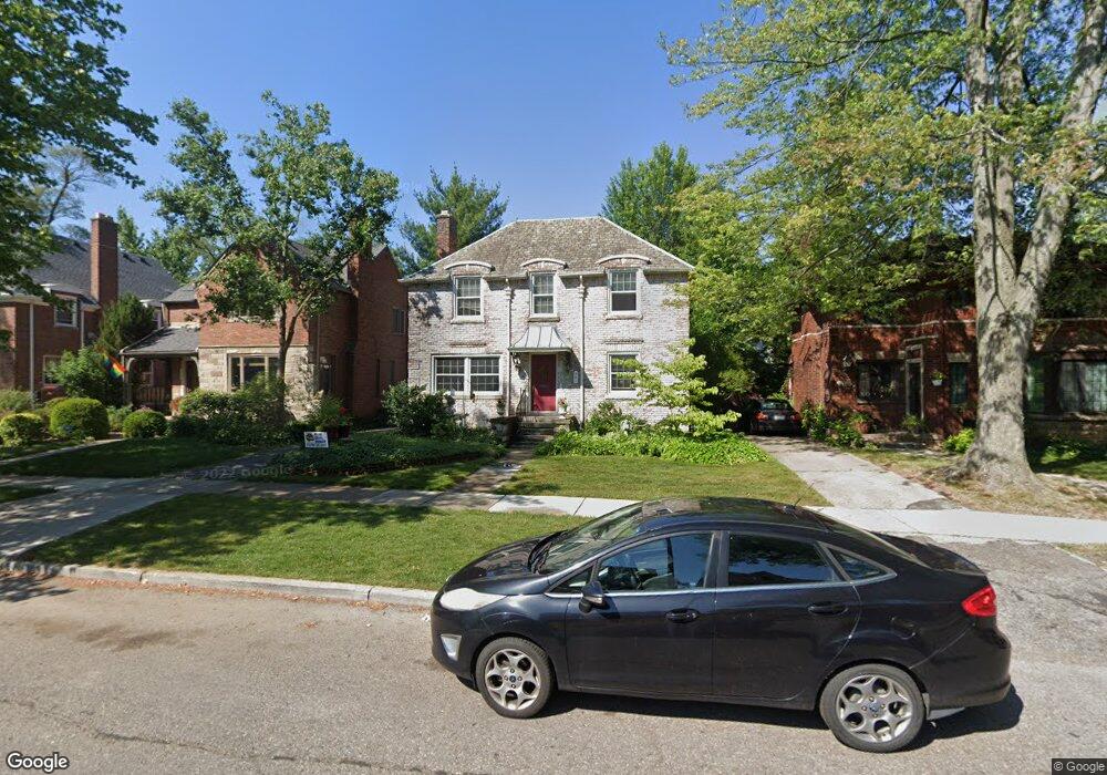
281 Mckinley Ave Grosse Pointe Farms, MI 48236
Estimated Value: $446,547 - $519,000
--
Bed
1
Bath
1,664
Sq Ft
$291/Sq Ft
Est. Value
About This Home
This home is located at 281 Mckinley Ave, Grosse Pointe Farms, MI 48236 and is currently estimated at $484,637, approximately $291 per square foot. 281 Mckinley Ave is a home located in Wayne County with nearby schools including Richard Elementary School, Brownell Middle School, and Grosse Pointe South High School.
Ownership History
Date
Name
Owned For
Owner Type
Purchase Details
Closed on
Apr 23, 2004
Sold by
Simpson Jeannine E and Simpson Michael J
Bought by
Liburdi Steven
Current Estimated Value
Purchase Details
Closed on
Aug 18, 1999
Purchase Details
Closed on
Jul 17, 1995
Sold by
Ernest W Scanes Trust
Bought by
Michael J and Clune Lauren S
Create a Home Valuation Report for This Property
The Home Valuation Report is an in-depth analysis detailing your home's value as well as a comparison with similar homes in the area
Home Values in the Area
Average Home Value in this Area
Purchase History
| Date | Buyer | Sale Price | Title Company |
|---|---|---|---|
| Liburdi Steven | $308,500 | Greco | |
| -- | $262,500 | -- | |
| Michael J | $162,000 | -- |
Source: Public Records
Tax History Compared to Growth
Tax History
| Year | Tax Paid | Tax Assessment Tax Assessment Total Assessment is a certain percentage of the fair market value that is determined by local assessors to be the total taxable value of land and additions on the property. | Land | Improvement |
|---|---|---|---|---|
| 2025 | $3,492 | $215,000 | $0 | $0 |
| 2024 | $3,492 | $201,600 | $0 | $0 |
| 2023 | $3,327 | $186,400 | $0 | $0 |
| 2022 | $6,214 | $171,600 | $0 | $0 |
| 2021 | $5,870 | $156,700 | $0 | $0 |
| 2019 | $5,772 | $147,800 | $0 | $0 |
| 2018 | $2,954 | $142,800 | $0 | $0 |
| 2017 | $5,126 | $138,800 | $0 | $0 |
| 2016 | $5,373 | $136,100 | $0 | $0 |
| 2015 | $10,642 | $117,400 | $0 | $0 |
| 2013 | $10,310 | $103,100 | $0 | $0 |
| 2012 | $2,743 | $103,100 | $24,400 | $78,700 |
Source: Public Records
Map
Nearby Homes
- 276 Lewiston Rd
- 277 Kenwood Ct
- 240 Mckinley Ave
- 233 Mcmillan Rd
- 341 Mcmillan Rd
- 213 Muir Rd
- 194 Charlevoix Ave
- 201 Mcmillan Rd
- 259 Mount Vernon Ave
- 317 Mount Vernon Ave
- 180 Fisher Rd
- 872 University Place
- 343 Mount Vernon Ave
- 314 Mount Vernon Ave
- 302 Mount Vernon Ave
- 380 Merriweather Rd
- 166 Lewiston Rd
- 818 Neff Rd
- 415 Lothrop Rd
- 795 Grosse Pointe Ct
- 279 Mckinley Ave
- 283 Mckinley Ave
- 275 Mckinley Ave
- 285 Mckinley Ave
- 280 Fisher Rd
- 282 Fisher Rd
- 278 Fisher Rd
- 273 Mckinley Ave
- 287 Mckinley Ave
- 284 Fisher Rd
- 276 Fisher Rd
- 280 Mckinley Ave
- 278 Mckinley Ave
- 286 Fisher Rd
- 282 Mckinley Ave
- 274 Fisher Rd
- 271 Mckinley Ave
- 289 Mckinley Ave
- 276 Mckinley Ave
- 284 Mckinley Ave