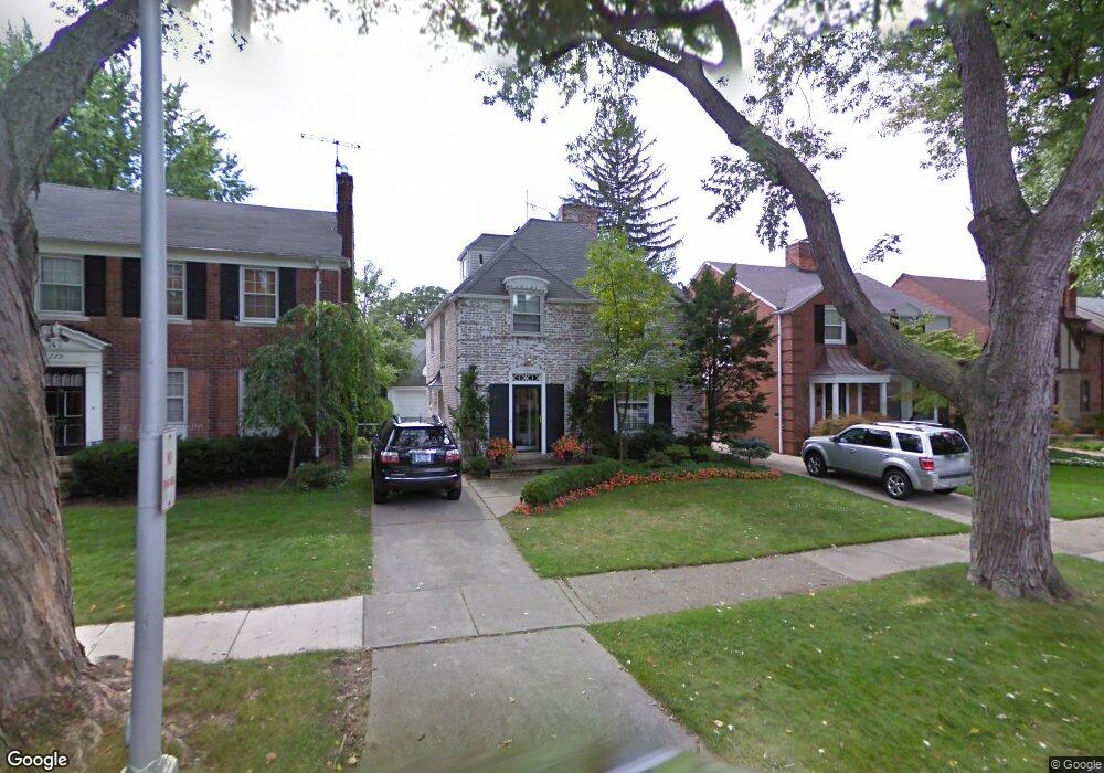
281 Merriweather Rd Grosse Pointe Farms, MI 48236
Estimated Value: $478,307 - $605,000
4
Beds
4
Baths
2,425
Sq Ft
$220/Sq Ft
Est. Value
About This Home
This home is located at 281 Merriweather Rd, Grosse Pointe Farms, MI 48236 and is currently estimated at $534,327, approximately $220 per square foot. 281 Merriweather Rd is a home located in Wayne County with nearby schools including Kerby Elementary School, Brownell Middle School, and Grosse Pointe South High School.
Ownership History
Date
Name
Owned For
Owner Type
Purchase Details
Closed on
Oct 15, 2004
Sold by
Matthews Christian F and Matthews Patricia Kelly
Bought by
Hopper Patrick M
Current Estimated Value
Purchase Details
Closed on
Feb 23, 2004
Sold by
Matthews Patricia Kelly and Egnatios Scott T
Bought by
Matthews Christian F
Create a Home Valuation Report for This Property
The Home Valuation Report is an in-depth analysis detailing your home's value as well as a comparison with similar homes in the area
Home Values in the Area
Average Home Value in this Area
Purchase History
| Date | Buyer | Sale Price | Title Company |
|---|---|---|---|
| Hopper Patrick M | $415,000 | Greco | |
| Matthews Christian F | -- | Greco |
Source: Public Records
Tax History Compared to Growth
Tax History
| Year | Tax Paid | Tax Assessment Tax Assessment Total Assessment is a certain percentage of the fair market value that is determined by local assessors to be the total taxable value of land and additions on the property. | Land | Improvement |
|---|---|---|---|---|
| 2025 | $3,661 | $213,300 | $0 | $0 |
| 2024 | $3,661 | $201,000 | $0 | $0 |
| 2023 | $3,489 | $184,700 | $0 | $0 |
| 2022 | $6,515 | $169,500 | $0 | $0 |
| 2021 | $6,155 | $160,900 | $0 | $0 |
| 2019 | $6,052 | $155,100 | $0 | $0 |
| 2018 | $3,097 | $146,900 | $0 | $0 |
| 2017 | $5,374 | $143,200 | $0 | $0 |
| 2016 | $5,634 | $136,600 | $0 | $0 |
| 2015 | $11,159 | $124,300 | $0 | $0 |
| 2013 | $10,810 | $108,100 | $0 | $0 |
| 2012 | $2,818 | $106,000 | $24,400 | $81,600 |
Source: Public Records
Map
Nearby Homes
- 259 Mount Vernon Ave
- 302 Mount Vernon Ave
- 317 Mount Vernon Ave
- 314 Mount Vernon Ave
- 194 Charlevoix Ave
- 341 Mcmillan Rd
- 276 Lewiston Rd
- 343 Mount Vernon Ave
- 218 Merriweather Rd
- 352 Mckinley Ave
- 380 Merriweather Rd
- 216 Ridge Rd
- 827 Fisher Rd
- 240 Mckinley Ave
- 233 Mcmillan Rd
- 415 Lothrop Rd
- 213 Muir Rd
- 745 Lincoln Rd
- 189 Cloverly Rd
- 166 Lewiston Rd
- 283 Merriweather Rd
- 279 Merriweather Rd
- 277 Merriweather Rd
- 285 Merriweather Rd
- 287 Merriweather Rd
- 275 Merriweather Rd
- 282 Moran Rd
- 280 Moran Rd
- 284 Moran Rd
- 278 Moran Rd
- 286 Moran Rd Unit Bldg-Unit
- 286 Moran Rd
- 289 Merriweather Rd
- 273 Merriweather Rd
- 276 Moran Rd
- 282 Merriweather Rd
- 288 Moran Rd
- 280 Merriweather Rd
- 284 Merriweather Rd
- 278 Merriweather Rd