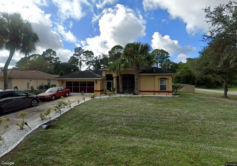
281 Milton St Port Charlotte, FL 33954
Estimated Value: $341,485 - $423,000
3
Beds
3
Baths
2,156
Sq Ft
$179/Sq Ft
Est. Value
About This Home
This home is located at 281 Milton St, Port Charlotte, FL 33954 and is currently estimated at $386,121, approximately $179 per square foot. 281 Milton St is a home located in Charlotte County with nearby schools including Liberty Elementary School, Murdock Middle School, and Port Charlotte High School.
Ownership History
Date
Name
Owned For
Owner Type
Purchase Details
Closed on
Dec 31, 2007
Sold by
Naklen John W
Bought by
Naklen Jacqueline D
Current Estimated Value
Purchase Details
Closed on
Oct 25, 2004
Sold by
Naklen Jackie and Naklen Jacqueline D
Bought by
Naklen John W and Naklen Jacqueline D
Home Financials for this Owner
Home Financials are based on the most recent Mortgage that was taken out on this home.
Original Mortgage
$192,000
Interest Rate
5.66%
Mortgage Type
Purchase Money Mortgage
Purchase Details
Closed on
Dec 27, 1994
Sold by
Naklen John and Naklen Jackie
Bought by
Naklen Jackie
Create a Home Valuation Report for This Property
The Home Valuation Report is an in-depth analysis detailing your home's value as well as a comparison with similar homes in the area
Home Values in the Area
Average Home Value in this Area
Purchase History
| Date | Buyer | Sale Price | Title Company |
|---|---|---|---|
| Naklen Jacqueline D | -- | Attorney | |
| Naklen John W | $78,700 | First Natl Title Ins Co | |
| Naklen Jackie | -- | -- |
Source: Public Records
Mortgage History
| Date | Status | Borrower | Loan Amount |
|---|---|---|---|
| Previous Owner | Naklen John W | $192,000 |
Source: Public Records
Tax History Compared to Growth
Tax History
| Year | Tax Paid | Tax Assessment Tax Assessment Total Assessment is a certain percentage of the fair market value that is determined by local assessors to be the total taxable value of land and additions on the property. | Land | Improvement |
|---|---|---|---|---|
| 2024 | $736 | $11,969 | -- | -- |
| 2023 | $736 | $10,789 | $0 | $0 |
| 2022 | $2,129 | $129,861 | $0 | $0 |
| 2021 | $2,115 | $126,079 | $0 | $0 |
| 2020 | $1,870 | $112,568 | $0 | $0 |
| 2019 | $1,781 | $110,037 | $0 | $0 |
| 2018 | $1,631 | $107,985 | $0 | $0 |
| 2017 | $1,610 | $105,764 | $0 | $0 |
| 2016 | $1,595 | $103,589 | $0 | $0 |
| 2015 | $1,582 | $102,869 | $0 | $0 |
| 2014 | $1,557 | $102,053 | $0 | $0 |
Source: Public Records
Map
Nearby Homes
- 364 Lindon St
- 411 & 421 Lindon St
- 356 Lindon St
- 17156 Eugene Ave
- 17112 Eugene Ave
- 17173 Glenview Ave
- 355 Milton St
- 284 Barger Dr
- 17196 Glenview Ave
- 292 Barger Dr
- 17212 Glenview Ave
- 404 Barger Dr
- 347 Milton St
- 339 Milton St
- 17213 Fallkirk Ave
- 380 Lindon St
- 17080 Kellog Ave
- 378 Wyatt St
- 17010 Toledo Blade Blvd
- 265 Mercer St
- 291 Milton St
- 17180 Eugene Ave
- 17172 Eugene Ave
- 17188 Eugene Ave
- 299 Milton St
- 307 Milton St
- 17204 Eugene Ave
- 17181 Kellog Ave
- 17173 Kellog Ave
- 281 Lindon St
- 291 Lindon St
- 17197 Kellog Ave
- 316 Euclid St
- 17165 Kellog Ave
- 315 Milton St
- 316 Milton St
- 17213 Kellog Ave
- 17164 Eugene Ave
- 17220 Eugene Ave
- 17065 Eugene Ave