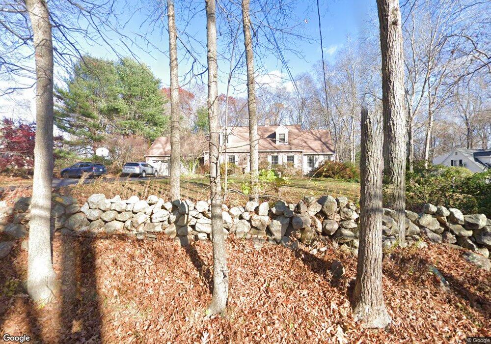
281 N Bride Brook Rd East Lyme, CT 06333
Estimated Value: $643,807 - $715,000
4
Beds
4
Baths
2,600
Sq Ft
$264/Sq Ft
Est. Value
About This Home
This home is located at 281 N Bride Brook Rd, East Lyme, CT 06333 and is currently estimated at $686,952, approximately $264 per square foot. 281 N Bride Brook Rd is a home located in New London County with nearby schools including East Lyme Middle School, East Lyme High School, and Carelot Children's Center - East Lyme.
Ownership History
Date
Name
Owned For
Owner Type
Purchase Details
Closed on
Dec 30, 1997
Sold by
Miller Jeffrey A and Miller Jane H
Bought by
Quan Ernest S and Quan Mirta
Current Estimated Value
Create a Home Valuation Report for This Property
The Home Valuation Report is an in-depth analysis detailing your home's value as well as a comparison with similar homes in the area
Home Values in the Area
Average Home Value in this Area
Purchase History
| Date | Buyer | Sale Price | Title Company |
|---|---|---|---|
| Quan Ernest S | $280,000 | -- | |
| Quan Ernest S | $280,000 | -- |
Source: Public Records
Mortgage History
| Date | Status | Borrower | Loan Amount |
|---|---|---|---|
| Open | Quan Ernest S | $249,361 | |
| Closed | Quan Ernest S | $263,000 |
Source: Public Records
Tax History Compared to Growth
Tax History
| Year | Tax Paid | Tax Assessment Tax Assessment Total Assessment is a certain percentage of the fair market value that is determined by local assessors to be the total taxable value of land and additions on the property. | Land | Improvement |
|---|---|---|---|---|
| 2025 | $8,666 | $309,400 | $100,520 | $208,880 |
| 2024 | $8,153 | $309,400 | $100,520 | $208,880 |
| 2023 | $7,698 | $309,400 | $100,520 | $208,880 |
| 2022 | $7,376 | $309,400 | $100,520 | $208,880 |
| 2021 | $7,069 | $247,940 | $95,480 | $152,460 |
| 2020 | $7,032 | $247,940 | $95,480 | $152,460 |
| 2019 | $6,989 | $247,940 | $95,480 | $152,460 |
| 2018 | $6,781 | $247,940 | $95,480 | $152,460 |
| 2017 | $6,486 | $247,940 | $95,480 | $152,460 |
| 2016 | $6,464 | $254,870 | $90,440 | $164,430 |
| 2015 | $6,298 | $254,870 | $90,440 | $164,430 |
| 2014 | $6,125 | $254,870 | $90,440 | $164,430 |
Source: Public Records
Map
Nearby Homes
- 270 N Bride Brook Rd
- 420 Boston Post Rd
- 496 Boston Post Rd
- 223 N Bride Brook Rd
- 6 Marion Dr
- 13 Willow Ln
- 25 Marion Dr
- 5 Pumpkin Grove
- 11 Pumpkin Grove
- 14 Pumpkin Grove
- 28 Alexander Dr
- 57 Spring Rock Rd
- 20 Sunrise Trail
- 33 Arbor Crossing
- 287 Boston Post Rd
- Waramaug Plan at Riverside Reserve
- Highland Plan at Riverside Reserve
- Hayward Plan at Riverside Reserve
- Ashford Plan at Riverside Reserve
- Lillinonah Plan at Riverside Reserve
- 283 N Bride Brook Rd
- 279 N Bride Brook Rd
- 1 Applewood Common
- 275 N Bride Brook Rd
- 282 N Bride Brook Rd
- 273 N Bride Brook Rd
- 286 N Bride Brook Rd
- 3 Applewood Common
- 271 N Bride Brook Rd
- 286 N Bridebrook Rd
- 288 N Bride Brook Rd
- 266 N Bride Brook Rd
- 6 Applewood Common
- 5 Applewood Common
- 290 N Bride Brook Rd
- 269 N Bride Brook Rd
- 7 Applewood Common
- 8 Applewood Common
- 294 N Bride Brook Rd
- 260 N Bride Brook Rd