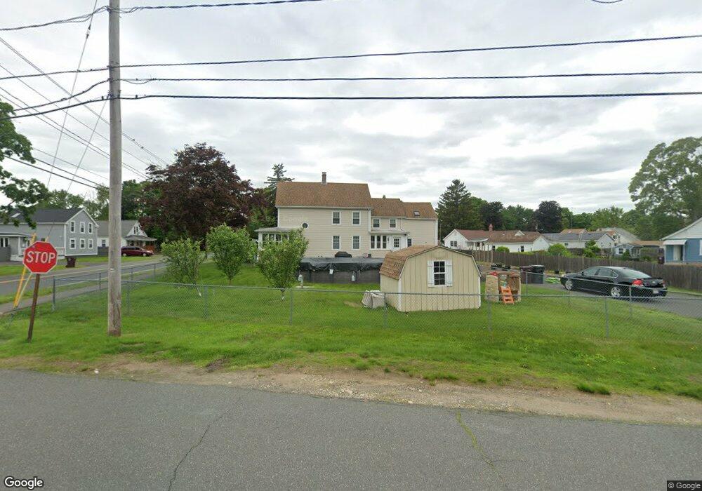
281 Notre Dame St Westfield, MA 01085
Estimated Value: $318,000 - $408,000
4
Beds
2
Baths
2,034
Sq Ft
$183/Sq Ft
Est. Value
About This Home
This home is located at 281 Notre Dame St, Westfield, MA 01085 and is currently estimated at $371,930, approximately $182 per square foot. 281 Notre Dame St is a home located in Hampden County with nearby schools including Westfield High School and Saint Mary High School.
Ownership History
Date
Name
Owned For
Owner Type
Purchase Details
Closed on
Aug 15, 2001
Sold by
Department Of Housing & Urban Dev
Bought by
Burl Kenneth D and Traynor Annette
Current Estimated Value
Home Financials for this Owner
Home Financials are based on the most recent Mortgage that was taken out on this home.
Original Mortgage
$113,390
Outstanding Balance
$44,264
Interest Rate
7.16%
Mortgage Type
Purchase Money Mortgage
Estimated Equity
$327,666
Purchase Details
Closed on
Apr 17, 2001
Sold by
Sokolowski Raymond J
Bought by
Washington Mutual Hm
Purchase Details
Closed on
Feb 8, 1993
Sold by
Sokolowski Raymond J and Sokolowski Stella
Bought by
Sokolowski Raymond J
Home Financials for this Owner
Home Financials are based on the most recent Mortgage that was taken out on this home.
Original Mortgage
$89,900
Interest Rate
8.1%
Mortgage Type
Purchase Money Mortgage
Create a Home Valuation Report for This Property
The Home Valuation Report is an in-depth analysis detailing your home's value as well as a comparison with similar homes in the area
Home Values in the Area
Average Home Value in this Area
Purchase History
| Date | Buyer | Sale Price | Title Company |
|---|---|---|---|
| Burl Kenneth D | $101,900 | -- | |
| Washington Mutual Hm | $98,983 | -- | |
| Sokolowski Raymond J | $90,000 | -- |
Source: Public Records
Mortgage History
| Date | Status | Borrower | Loan Amount |
|---|---|---|---|
| Open | Sokolowski Raymond J | $22,392 | |
| Open | Sokolowski Raymond J | $113,390 | |
| Previous Owner | Sokolowski Raymond J | $89,900 |
Source: Public Records
Tax History Compared to Growth
Tax History
| Year | Tax Paid | Tax Assessment Tax Assessment Total Assessment is a certain percentage of the fair market value that is determined by local assessors to be the total taxable value of land and additions on the property. | Land | Improvement |
|---|---|---|---|---|
| 2025 | $5,012 | $330,200 | $98,100 | $232,100 |
| 2024 | $4,952 | $310,100 | $89,200 | $220,900 |
| 2023 | $4,741 | $279,200 | $84,900 | $194,300 |
| 2022 | $4,665 | $252,300 | $75,800 | $176,500 |
| 2021 | $8,658 | $239,100 | $71,500 | $167,600 |
| 2020 | $4,347 | $225,800 | $71,500 | $154,300 |
| 2019 | $8,266 | $215,800 | $68,200 | $147,600 |
| 2018 | $3,748 | $193,600 | $68,200 | $125,400 |
| 2017 | $3,690 | $190,000 | $69,100 | $120,900 |
| 2016 | $3,694 | $190,000 | $69,100 | $120,900 |
| 2015 | $3,523 | $190,000 | $69,100 | $120,900 |
| 2014 | $2,633 | $190,000 | $69,100 | $120,900 |
Source: Public Records
Map
Nearby Homes
- 13 Furrow St
- 10 Ethan Ave
- 9 Crown St
- 40 Prospect St Unit 2F
- 48 Murray Ave
- Lot 3 Montgomery
- 70 Yeoman Ave
- 49 Pochassic St
- 72-74 Notre Dame St
- 351 N Elm St
- 28 Union St
- 3 Norton St
- 99 Woodmont St
- 19 Arch Rd
- 77 Orange St
- 8 Ellis St
- 97 Mechanic St
- 148 Prospect Street Extension
- 111 Union St Unit 6
- 194 Lockhouse Rd
- 287 Notre Dame St
- 287 Notre Dame St Unit 2
- 287 Notre Dame St Unit 1
- 12 Queen St
- 276 Notre Dame St
- 3 Furrow St
- 265 Notre Dame St
- 286 Notre Dame St
- 270 Notre Dame St
- 270 Notre Dame St Unit 1
- 290 Notre Dame St
- 20 Queen St
- 7 Furrow St
- 6 Furrow St
- 3 Adams St
- 259 Notre Dame St
- 262 Notre Dame St
- 262 Notre Dame St Unit 1
- 7 Ethan Ave
- 9 Furrow St