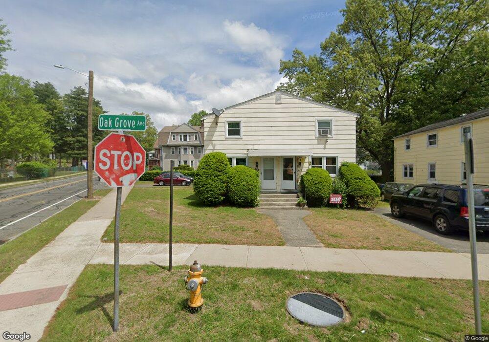
281 Oak Grove Ave Springfield, MA 01109
Bay NeighborhoodEstimated Value: $286,193 - $366,000
6
Beds
2
Baths
2,040
Sq Ft
$165/Sq Ft
Est. Value
About This Home
This home is located at 281 Oak Grove Ave, Springfield, MA 01109 and is currently estimated at $336,548, approximately $164 per square foot. 281 Oak Grove Ave is a home located in Hampden County with nearby schools including Rebecca M Johnson School, John F. Kennedy Academy, and Roger L. Putnam Vocational Technical Academy.
Ownership History
Date
Name
Owned For
Owner Type
Purchase Details
Closed on
Mar 31, 2022
Sold by
Springfield Homes Llc
Bought by
Yellowbrick Property Llc
Current Estimated Value
Home Financials for this Owner
Home Financials are based on the most recent Mortgage that was taken out on this home.
Original Mortgage
$2,130,555
Outstanding Balance
$2,009,896
Interest Rate
4.67%
Mortgage Type
Commercial
Estimated Equity
-$1,673,348
Create a Home Valuation Report for This Property
The Home Valuation Report is an in-depth analysis detailing your home's value as well as a comparison with similar homes in the area
Home Values in the Area
Average Home Value in this Area
Purchase History
| Date | Buyer | Sale Price | Title Company |
|---|---|---|---|
| Yellowbrick Property Llc | -- | None Available |
Source: Public Records
Mortgage History
| Date | Status | Borrower | Loan Amount |
|---|---|---|---|
| Open | Yellowbrick Property Llc | $2,130,555 |
Source: Public Records
Tax History
| Year | Tax Paid | Tax Assessment Tax Assessment Total Assessment is a certain percentage of the fair market value that is determined by local assessors to be the total taxable value of land and additions on the property. | Land | Improvement |
|---|---|---|---|---|
| 2025 | $2,841 | $181,200 | $31,200 | $150,000 |
| 2024 | $2,830 | $176,200 | $31,200 | $145,000 |
| 2023 | $2,563 | $150,300 | $28,400 | $121,900 |
| 2022 | $2,906 | $154,400 | $26,500 | $127,900 |
| 2021 | $2,618 | $138,500 | $24,100 | $114,400 |
| 2020 | $2,387 | $122,200 | $24,100 | $98,100 |
| 2019 | $2,259 | $114,800 | $24,100 | $90,700 |
| 2018 | $2,387 | $109,300 | $24,100 | $85,200 |
| 2017 | $2,387 | $121,400 | $24,100 | $97,300 |
| 2016 | $2,141 | $108,900 | $24,100 | $84,800 |
| 2015 | $2,101 | $106,800 | $24,100 | $82,700 |
Source: Public Records
Map
Nearby Homes
- 15-17 Sycamore St
- 16 Cambridge St
- 21 Clifford St
- 106 Amherst St
- 145 Cambridge St
- 163 Marion St
- 15 Kenyon St
- 16 Amherst St
- 52-54 Aster St
- 158 Bowles St
- 65 Montrose St
- 393 Saint James Ave
- 46 Mapledell St
- 52-56 Andrew St
- 107 Dartmouth St
- 33 Drexel St
- 28 Porter St
- 25 Dresden St
- 19 Westford Ave
- 48-50 Dresden St
- 275 Oak Grove Ave
- 271 Oak Grove Ave
- 20-22 Sycamore St
- 20 Sycamore St Unit 22
- 477 Bay St
- 481 Bay St
- 265 Oak Grove Ave
- 28 Sycamore St
- 485 Bay St
- 485 Bay St Unit 2
- 485 Bay St Unit 1
- 487 Bay St
- 38 Sycamore St
- 42 Sycamore St Unit 44
- 251 Oak Grove Ave
- 9 Sycamore St
- 17 Sycamore St
- 249 Oak Grove Ave
- 21 Sycamore St
- 11 Sycamore St
Your Personal Tour Guide
Ask me questions while you tour the home.