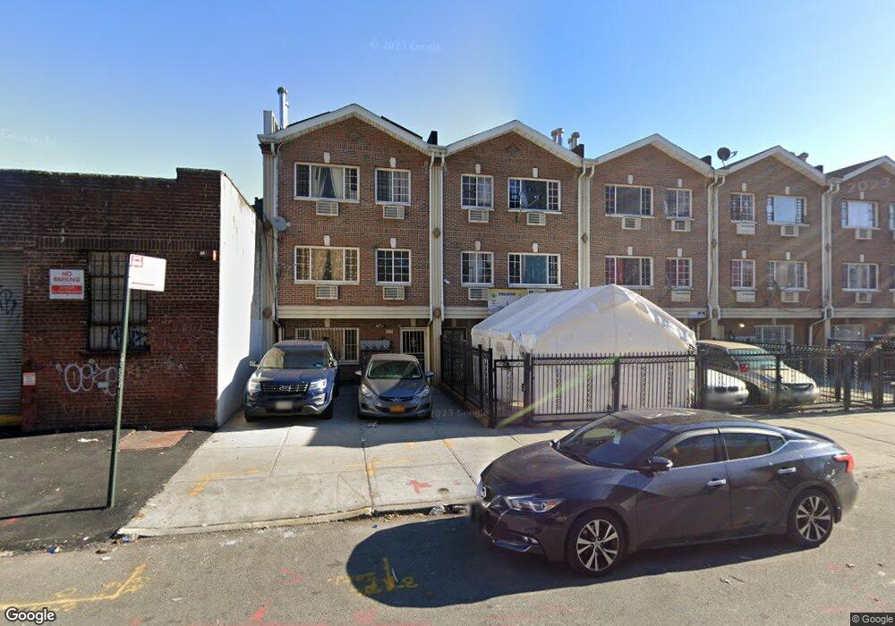
281 Powell St Brooklyn, NY 11212
Brownsville NeighborhoodEstimated Value: $838,000 - $1,176,000
Studio
--
Bath
3,019
Sq Ft
$322/Sq Ft
Est. Value
About This Home
This home is located at 281 Powell St, Brooklyn, NY 11212 and is currently estimated at $973,333, approximately $322 per square foot. 281 Powell St is a home located in Kings County with nearby schools including P.S. 150 - Christopher, P.S. 156 Waverly, and P.S. Is 155 Nicholas Herkimer.
Ownership History
Date
Name
Owned For
Owner Type
Purchase Details
Closed on
Nov 9, 2005
Sold by
Djemal Joseph
Bought by
925 Dumont Inc
Current Estimated Value
Home Financials for this Owner
Home Financials are based on the most recent Mortgage that was taken out on this home.
Original Mortgage
$450,000
Outstanding Balance
$246,864
Interest Rate
6.06%
Mortgage Type
Purchase Money Mortgage
Estimated Equity
$726,469
Create a Home Valuation Report for This Property
The Home Valuation Report is an in-depth analysis detailing your home's value as well as a comparison with similar homes in the area
Home Values in the Area
Average Home Value in this Area
Purchase History
| Date | Buyer | Sale Price | Title Company |
|---|---|---|---|
| 925 Dumont Inc | $415,000 | -- |
Source: Public Records
Mortgage History
| Date | Status | Borrower | Loan Amount |
|---|---|---|---|
| Open | 925 Dumont Inc | $450,000 |
Source: Public Records
Tax History
| Year | Tax Paid | Tax Assessment Tax Assessment Total Assessment is a certain percentage of the fair market value that is determined by local assessors to be the total taxable value of land and additions on the property. | Land | Improvement |
|---|---|---|---|---|
| 2025 | $8,257 | $64,380 | $22,380 | $42,000 |
| 2024 | $8,257 | $55,200 | $22,380 | $32,820 |
| 2023 | $8,349 | $48,780 | $22,380 | $26,400 |
| 2022 | $6,438 | $42,960 | $22,380 | $20,580 |
| 2021 | $4,906 | $41,880 | $22,380 | $19,500 |
| 2020 | $1,554 | $34,260 | $22,380 | $11,880 |
| 2019 | $1,524 | $34,260 | $22,380 | $11,880 |
| 2018 | $110 | $35,488 | $19,046 | $16,442 |
| 2017 | $110 | $33,480 | $22,380 | $11,100 |
| 2016 | $108 | $36,000 | $22,380 | $13,620 |
| 2015 | $4,289 | $39,328 | $23,873 | $15,455 |
| 2014 | $4,289 | $37,102 | $22,522 | $14,580 |
Source: Public Records
Map
Nearby Homes
- 440 Blake Ave
- 472 Sutter Ave
- 105 Belmont Ave
- 406 Hinsdale St
- 1782 Pitkin Ave
- 117 Osborn St
- 548 Rockaway Ave
- 195 Chester St
- 502 Powell St
- 353 Pennsylvania Ave
- 317 Pennsylvania Ave
- 533 Snediker Ave
- 444 New Jersey Ave
- 392 New Jersey Ave Unit 3921
- 546 Powell St
- 67 Chester St Unit 3
- 45 Hinsdale St
- 51 Chester St
- 699 Sackman St
- 578 Williams Ave
- 279 Powell St
- 283 Powell St
- 285 Powell St
- 285 Powell St Unit 2F
- 271 Powell St
- 287 Powell St
- 289 Powell St
- 291 Powell St
- 291 Powell St Unit 3rd Fl
- 284 Junius St
- 293 Powell St
- 293 Powell St Unit 1
- 280 Junius St
- 424 Sutter Ave
- 301 Powell St
- 276 Junius St
- 303 Powell St
- 301A Powell St
- 436-444 Sutter Ave
- 294 Junius St
Your Personal Tour Guide
Ask me questions while you tour the home.