281 Private Road 2223 Decatur, TX 76234
Estimated Value: $491,103 - $617,000
--
Bed
2
Baths
1,951
Sq Ft
$275/Sq Ft
Est. Value
About This Home
This home is located at 281 Private Road 2223, Decatur, TX 76234 and is currently estimated at $536,701, approximately $275 per square foot. 281 Private Road 2223 is a home located in Wise County with nearby schools including Decatur High School and Victory Christian Academy.
Ownership History
Date
Name
Owned For
Owner Type
Purchase Details
Closed on
Jun 26, 2020
Sold by
Ward Mark Allen and Ward Michael Arden
Bought by
Cook James Heath and Cook April
Current Estimated Value
Home Financials for this Owner
Home Financials are based on the most recent Mortgage that was taken out on this home.
Original Mortgage
$284,391
Outstanding Balance
$252,647
Interest Rate
3.2%
Mortgage Type
FHA
Estimated Equity
$284,054
Purchase Details
Closed on
Jan 15, 2019
Sold by
Ward Cecil Edward
Bought by
Ward Mark Allen and Ward Michael Arden
Purchase Details
Closed on
Dec 29, 1995
Bought by
Ward Cecil
Purchase Details
Closed on
Jan 1, 1901
Bought by
Ward Cecil
Create a Home Valuation Report for This Property
The Home Valuation Report is an in-depth analysis detailing your home's value as well as a comparison with similar homes in the area
Home Values in the Area
Average Home Value in this Area
Purchase History
| Date | Buyer | Sale Price | Title Company |
|---|---|---|---|
| Cook James Heath | -- | Wise County Title Company | |
| Ward Mark Allen | -- | None Available | |
| Ward Cecil | -- | -- | |
| Ward Cecil | -- | -- |
Source: Public Records
Mortgage History
| Date | Status | Borrower | Loan Amount |
|---|---|---|---|
| Open | Cook James Heath | $284,391 |
Source: Public Records
Tax History Compared to Growth
Tax History
| Year | Tax Paid | Tax Assessment Tax Assessment Total Assessment is a certain percentage of the fair market value that is determined by local assessors to be the total taxable value of land and additions on the property. | Land | Improvement |
|---|---|---|---|---|
| 2025 | $4,568 | $483,937 | -- | -- |
| 2024 | $4,568 | $460,067 | $0 | $0 |
| 2023 | $5,296 | $438,367 | $0 | $0 |
| 2022 | $5,959 | $388,322 | $0 | $0 |
| 2021 | $5,195 | $324,080 | $167,120 | $156,960 |
| 2020 | $4,621 | $286,400 | $146,760 | $139,640 |
| 2019 | $4,578 | $266,430 | $129,640 | $136,790 |
| 2018 | $2,613 | $148,350 | $17,620 | $130,730 |
| 2017 | $2,376 | $133,840 | $12,620 | $121,220 |
| 2016 | $2,168 | $121,450 | $11,430 | $110,020 |
| 2015 | -- | $114,680 | $10,060 | $104,620 |
| 2014 | -- | $116,120 | $10,240 | $105,880 |
Source: Public Records
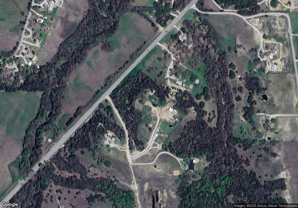
Map
Nearby Homes
- TBD E Hwy 380 Hwy
- Lot 12 Cedar Springs Estates
- 2811 N Trinity St
- 307 E Vernon St
- 114 Sondra Lin Blvd
- 903 N Miller St
- 602 N Cates St
- 3092 N Trinity St
- 802 N Church St
- 700 N Church St
- 362 Decatur Cemetery Rd
- 101 E Mulberry St
- 506 E Main St
- TBD Farm To Market 51
- 304 Cyndilu Ln
- 1952 Old Decatur Rd
- 305 E Shoemaker St
- 1 S Martin Extension
- 407 N Lane St
- 114 Cemetery Rd
- 281 Pr 2223
- 300 Pr 2223
- 1894 N Fm 51
- 1846 N Fm 51
- 1846 N Fm 51
- 210 Private Road 2223
- 303 Private Road 2223
- 1891 N Fm 51
- 0 S Fm 51 Unit 20392889
- 0 S Fm 51 Unit 11203506
- Lot 1 Pr 2218
- 1893 N Fm 51
- 1960 N Fm 51
- 602 Greenwood Rd
- 604 Greenwood Rd
- 606 Greenwood Rd
- 608 Greenwood Rd
- 608 Green Wood Rd
- 608 Greenwood Rd
- 787 Greenwood Rd