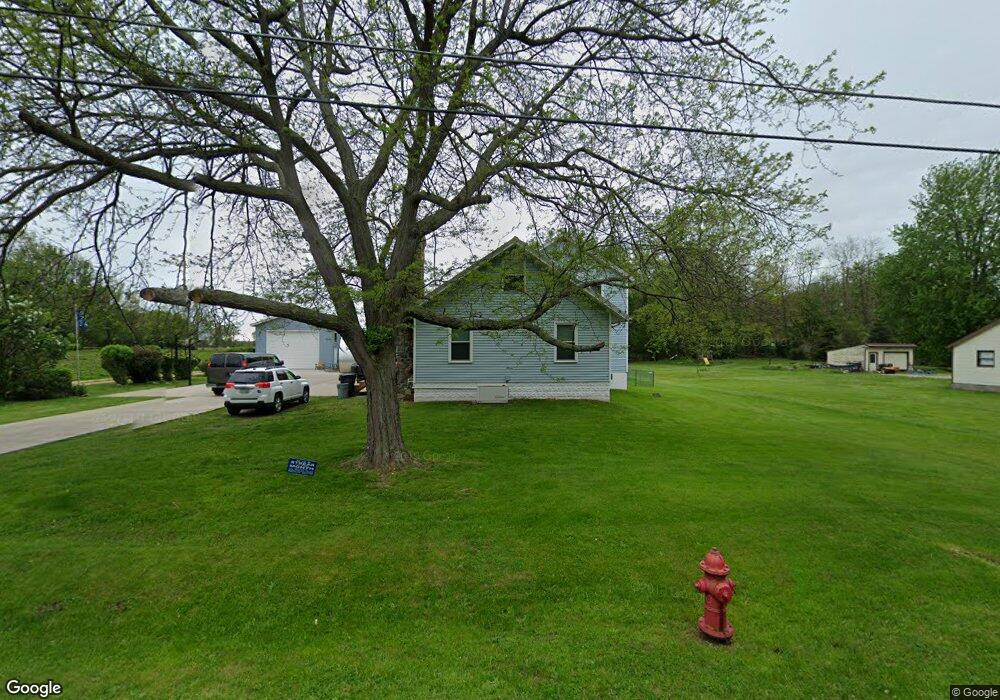
2810 Burns Rd Madison, OH 44057
Estimated Value: $254,000 - $352,000
4
Beds
2
Baths
1,842
Sq Ft
$159/Sq Ft
Est. Value
About This Home
This home is located at 2810 Burns Rd, Madison, OH 44057 and is currently estimated at $292,837, approximately $158 per square foot. 2810 Burns Rd is a home located in Lake County with nearby schools including South Elementary School, Madison Middle School, and Madison High School.
Ownership History
Date
Name
Owned For
Owner Type
Purchase Details
Closed on
Aug 14, 2008
Sold by
Pasquarelli Gary J and Pasquarelli Sandra L
Bought by
Gephart Adam J and Lorente Jennifer L
Current Estimated Value
Home Financials for this Owner
Home Financials are based on the most recent Mortgage that was taken out on this home.
Original Mortgage
$172,296
Outstanding Balance
$111,990
Interest Rate
6.39%
Mortgage Type
FHA
Estimated Equity
$180,847
Purchase Details
Closed on
Aug 18, 2000
Sold by
Thistlewood James H and Thistlewood Beth
Bought by
Pasquarelli Gary J and Pasquarelli Sandra L
Home Financials for this Owner
Home Financials are based on the most recent Mortgage that was taken out on this home.
Original Mortgage
$108,000
Interest Rate
8.16%
Purchase Details
Closed on
Jan 1, 1990
Bought by
Thistlewood James H
Create a Home Valuation Report for This Property
The Home Valuation Report is an in-depth analysis detailing your home's value as well as a comparison with similar homes in the area
Home Values in the Area
Average Home Value in this Area
Purchase History
| Date | Buyer | Sale Price | Title Company |
|---|---|---|---|
| Gephart Adam J | $175,000 | Enterprise Title | |
| Pasquarelli Gary J | $140,000 | Commonwealth Land Title Agen | |
| Thistlewood James H | -- | -- |
Source: Public Records
Mortgage History
| Date | Status | Borrower | Loan Amount |
|---|---|---|---|
| Open | Gephart Adam J | $172,296 | |
| Closed | Pasquarelli Gary J | $108,000 | |
| Closed | Pasquarelli Gary J | $18,000 |
Source: Public Records
Tax History
| Year | Tax Paid | Tax Assessment Tax Assessment Total Assessment is a certain percentage of the fair market value that is determined by local assessors to be the total taxable value of land and additions on the property. | Land | Improvement |
|---|---|---|---|---|
| 2025 | -- | $92,360 | $19,020 | $73,340 |
| 2024 | -- | $92,360 | $19,020 | $73,340 |
| 2023 | $5,470 | $49,210 | $14,170 | $35,040 |
| 2022 | $3,027 | $49,210 | $14,170 | $35,040 |
| 2021 | $3,033 | $49,210 | $14,170 | $35,040 |
| 2020 | $2,963 | $42,430 | $12,220 | $30,210 |
| 2019 | $2,965 | $42,430 | $12,220 | $30,210 |
| 2018 | $2,866 | $38,790 | $12,840 | $25,950 |
| 2017 | $2,700 | $38,790 | $12,840 | $25,950 |
| 2016 | $2,646 | $38,790 | $12,840 | $25,950 |
| 2015 | $2,325 | $38,790 | $12,840 | $25,950 |
| 2014 | $2,378 | $38,790 | $12,840 | $25,950 |
| 2013 | $2,383 | $38,790 | $12,840 | $25,950 |
Source: Public Records
Map
Nearby Homes
- 0 N Ridge (Us Rt 20) Rd Unit 4151016
- 2665 Eagle Point Dr
- 2665 Stoneyridge Dr
- 2663 Lake Breeze Dr
- 2655 Stoneyridge Dr
- 2661 Lake Breeze Dr
- 2659 Lake Breeze Dr
- 2833 Hubbard Rd
- 943 N Lake St
- 2192 Chimney Ridge Dr
- 2376 Bay Meadow St
- 5500 N Ridge Rd
- 206 Lavender Ln Unit 30
- 2765 Mcmackin Rd
- S/L 25 and S/L 26 Old Mill Rd
- 6073 Chapel Rd
- 11 Hawaiian Dr
- VL Courtyard Dr
- 17 Hawaiian Dr
- 1877 Clyde Rd
Your Personal Tour Guide
Ask me questions while you tour the home.