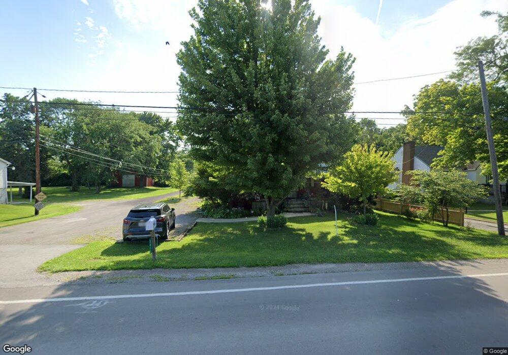
2810 Campbell St Sandusky, OH 44870
Estimated Value: $91,427 - $295,000
--
Bed
--
Bath
--
Sq Ft
3.16
Acres
About This Home
This home is located at 2810 Campbell St, Sandusky, OH 44870 and is currently estimated at $189,809. 2810 Campbell St is a home located in Erie County with nearby schools including Furry Elementary School, Meadowlawn Elementary School, and Briar Middle School.
Ownership History
Date
Name
Owned For
Owner Type
Purchase Details
Closed on
Oct 21, 2011
Sold by
Zoliniak Eddie and Zoliniak Kenny
Bought by
Zoliniak Kenneth A and Zoliniak Patricia M
Current Estimated Value
Home Financials for this Owner
Home Financials are based on the most recent Mortgage that was taken out on this home.
Original Mortgage
$53,700
Outstanding Balance
$5,083
Interest Rate
4.12%
Mortgage Type
New Conventional
Estimated Equity
$184,726
Purchase Details
Closed on
Aug 30, 2011
Sold by
Estate Of David Gene Zoliniak
Bought by
Zoliniak Penny J
Home Financials for this Owner
Home Financials are based on the most recent Mortgage that was taken out on this home.
Original Mortgage
$53,700
Outstanding Balance
$5,083
Interest Rate
4.12%
Mortgage Type
New Conventional
Estimated Equity
$184,726
Create a Home Valuation Report for This Property
The Home Valuation Report is an in-depth analysis detailing your home's value as well as a comparison with similar homes in the area
Home Values in the Area
Average Home Value in this Area
Purchase History
| Date | Buyer | Sale Price | Title Company |
|---|---|---|---|
| Zoliniak Kenneth A | $75,000 | Hartung Title | |
| Zoliniak Penny J | -- | None Available |
Source: Public Records
Mortgage History
| Date | Status | Borrower | Loan Amount |
|---|---|---|---|
| Open | Zoliniak Kenneth A | $53,700 |
Source: Public Records
Tax History Compared to Growth
Tax History
| Year | Tax Paid | Tax Assessment Tax Assessment Total Assessment is a certain percentage of the fair market value that is determined by local assessors to be the total taxable value of land and additions on the property. | Land | Improvement |
|---|---|---|---|---|
| 2024 | $488 | $10,485 | $8,515 | $1,970 |
| 2023 | $488 | $7,829 | $6,636 | $1,193 |
| 2022 | $447 | $7,829 | $6,636 | $1,193 |
| 2021 | $447 | $7,830 | $6,640 | $1,190 |
| 2020 | $436 | $7,690 | $6,640 | $1,050 |
| 2019 | $448 | $7,690 | $6,640 | $1,050 |
| 2018 | $449 | $7,690 | $6,640 | $1,050 |
| 2017 | $325 | $5,420 | $4,810 | $610 |
| 2016 | $285 | $5,420 | $4,810 | $610 |
| 2015 | $280 | $5,420 | $4,810 | $610 |
| 2014 | $285 | $5,450 | $4,810 | $640 |
| 2013 | $266 | $5,450 | $4,810 | $640 |
Source: Public Records
Map
Nearby Homes
- 2920 Campbell St
- 3314 W Stoneway Dr
- 332 W Parish St
- 2312 Hayes Ave
- 104 Stonyridge Dr Unit 1-A
- 315 50th St
- 2130 Columbus Ave
- 314 48th St
- 2038 Columbus Ave
- 313 42nd St
- 301 E Parish St
- 216 E Follett St
- 319 E Parish St
- 3513 Spencer Ave
- 3216 Hayes Ave
- 1405 W Perkins Ave
- 1119 E Parish St
- 301 Schiller Ave
- 3321 Hayes Ave
- 3510 Ohio St
- 2810 Campbell St
- 2810 Campbell St
- 2814 Campbell St
- 2802 Campbell St
- 2816 Campbell St
- 2820 Campbell St
- 0 Deyo & Mason Rd Unit 20194471
- 14552 Sr 23
- 12 Runkle
- 1824 Cr 250
- 250 Cr
- 1825 Cr 250
- 3937 C R 234 Rd
- 0 Rte 61
- 0 Us 224 Unit 20214400
- 0 Us 224 Unit 605095
- 0 Us 224 Unit 104886
- 0 Us 224 Unit 20130783
- 0 Us 224 Unit 20102976
- 0 Us 224 Unit 604739