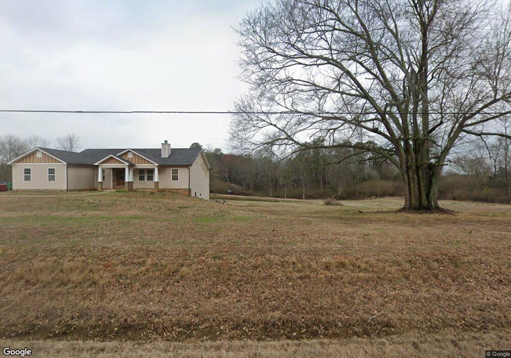
2810 Georgia 98 Maysville, GA 30558
Estimated Value: $353,000 - $519,000
2
Beds
1
Bath
1,461
Sq Ft
$312/Sq Ft
Est. Value
About This Home
This home is located at 2810 Georgia 98, Maysville, GA 30558 and is currently estimated at $455,523, approximately $311 per square foot. 2810 Georgia 98 is a home located in Banks County with nearby schools including Banks County Primary School, Banks County Elementary School, and Banks County Middle School.
Ownership History
Date
Name
Owned For
Owner Type
Purchase Details
Closed on
Mar 20, 2015
Sold by
Ponder Development Inc
Bought by
Glenn Daniel F
Current Estimated Value
Home Financials for this Owner
Home Financials are based on the most recent Mortgage that was taken out on this home.
Original Mortgage
$192,850
Outstanding Balance
$148,306
Interest Rate
3.87%
Mortgage Type
VA
Estimated Equity
$307,217
Purchase Details
Closed on
Jul 30, 2014
Sold by
Bagwell Bertie
Bought by
Ponder Development Inc
Create a Home Valuation Report for This Property
The Home Valuation Report is an in-depth analysis detailing your home's value as well as a comparison with similar homes in the area
Home Values in the Area
Average Home Value in this Area
Purchase History
| Date | Buyer | Sale Price | Title Company |
|---|---|---|---|
| Glenn Daniel F | $203,000 | -- | |
| Ponder Development Inc | $29,500 | -- |
Source: Public Records
Mortgage History
| Date | Status | Borrower | Loan Amount |
|---|---|---|---|
| Open | Glenn Daniel F | $192,850 |
Source: Public Records
Tax History Compared to Growth
Tax History
| Year | Tax Paid | Tax Assessment Tax Assessment Total Assessment is a certain percentage of the fair market value that is determined by local assessors to be the total taxable value of land and additions on the property. | Land | Improvement |
|---|---|---|---|---|
| 2025 | $2,849 | $160,095 | $37,202 | $122,893 |
| 2024 | $2,849 | $151,226 | $33,820 | $117,406 |
| 2023 | $2,940 | $141,471 | $36,300 | $105,171 |
| 2022 | $2,479 | $117,981 | $26,247 | $91,734 |
| 2021 | $2,004 | $89,704 | $18,355 | $71,349 |
| 2020 | $1,889 | $82,398 | $13,596 | $68,802 |
| 2019 | $1,899 | $82,398 | $13,596 | $68,802 |
| 2018 | $1,874 | $79,990 | $13,596 | $66,394 |
| 2017 | $1,950 | $79,815 | $11,823 | $67,992 |
| 2016 | $2,006 | $79,815 | $11,823 | $67,992 |
| 2015 | $826 | $26,993 | $10,748 | $16,245 |
| 2014 | $826 | $34,996 | $21,752 | $13,244 |
| 2013 | -- | $34,996 | $21,752 | $13,244 |
Source: Public Records
Map
Nearby Homes
- 108 Lillie Ln
- 75 Meadow Lark Way
- 301 Oak Ridge Dr
- 129 Crane St
- 82 Maywood Ct
- 362 Sims St
- 116 Valley View Dr
- 0 Hunters Glen Unit 7657277
- 0 Hunters Glen Unit 10614427
- 241 Sims St
- 0 H D R Dr Unit 10637398
- 0 H D R Dr Unit 7676406
- 0 H D R Dr Unit 10637403
- 382 Freeman Dr
- 393 W Freeman St
- 142 Holland Dam Dr
- 199 Deadwyler Rd
- 500 W Freeman St
- Plan 2604 at Eagle Heights
- Plan 2505 at Eagle Heights
- 0 Homer St Unit 4, 6 2999553
- 0 Homer St Unit 8974141
- 0 Homer St Unit 8974139
- 0 Homer St Unit 8970039
- 0 Homer St Unit 7243295
- 0 Homer St Unit 7295118
- 0 Homer St Unit 7360627
- 1700 Georgia 98
- 2765 Highway 98
- 2757 Highway 98
- 2702 Highway 98
- 173 Grove Dr
- 149 Grove Dr
- 145 Grove Dr
- 2854 Highway 98
- 114 K P Way
- 0 Grove Dr Unit 2946385
- 135 Grove Dr
- 176 Grove Dr Unit 9
- 176 Grove Dr