2810 Grindstone Rd Millsap, TX 76066
Estimated Value: $539,000
--
Bed
--
Bath
2,000
Sq Ft
$270/Sq Ft
Est. Value
About This Home
This home is located at 2810 Grindstone Rd, Millsap, TX 76066 and is currently estimated at $539,000, approximately $269 per square foot. 2810 Grindstone Rd is a home located in Parker County with nearby schools including Brock Intermediate School, Brock Junior High School, and Brock High School.
Ownership History
Date
Name
Owned For
Owner Type
Purchase Details
Closed on
Aug 25, 2013
Sold by
Stubbs Ronald Gene and Hallows Gary Wayne
Bought by
Cole Kenneth M and Cole Kenneth M
Current Estimated Value
Home Financials for this Owner
Home Financials are based on the most recent Mortgage that was taken out on this home.
Original Mortgage
$60,000
Outstanding Balance
$14,252
Interest Rate
3.5%
Mortgage Type
Future Advance Clause Open End Mortgage
Estimated Equity
$524,748
Purchase Details
Closed on
Jan 10, 1986
Bought by
Cole Kenneth M and Cole Velda L
Create a Home Valuation Report for This Property
The Home Valuation Report is an in-depth analysis detailing your home's value as well as a comparison with similar homes in the area
Home Values in the Area
Average Home Value in this Area
Purchase History
| Date | Buyer | Sale Price | Title Company |
|---|---|---|---|
| Cole Kenneth M | -- | Stewart | |
| Cole Kenneth M | -- | -- |
Source: Public Records
Mortgage History
| Date | Status | Borrower | Loan Amount |
|---|---|---|---|
| Open | Cole Kenneth M | $60,000 |
Source: Public Records
Tax History Compared to Growth
Tax History
| Year | Tax Paid | Tax Assessment Tax Assessment Total Assessment is a certain percentage of the fair market value that is determined by local assessors to be the total taxable value of land and additions on the property. | Land | Improvement |
|---|---|---|---|---|
| 2025 | $3,351 | $210,960 | $22,500 | $188,460 |
| 2024 | $3,351 | $181,130 | $22,500 | $158,630 |
| 2023 | $3,351 | $181,130 | $22,500 | $158,630 |
| 2022 | $3,656 | $180,060 | $12,000 | $168,060 |
| 2021 | $3,844 | $180,060 | $12,000 | $168,060 |
| 2020 | $3,573 | $165,070 | $10,000 | $155,070 |
| 2019 | $3,847 | $165,070 | $10,000 | $155,070 |
| 2018 | $4,032 | $191,860 | $7,000 | $184,860 |
| 2017 | $3,602 | $191,860 | $7,000 | $184,860 |
| 2016 | $3,275 | $142,350 | $8,250 | $134,100 |
| 2015 | $2,843 | $142,350 | $8,250 | $134,100 |
| 2014 | $2,879 | $135,700 | $12,210 | $123,490 |
Source: Public Records
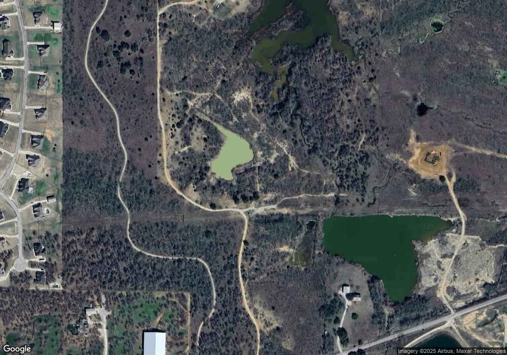
Map
Nearby Homes
- 2350 Grindstone Rd
- 101 Consolation Dr
- TBD B Consolation Dr
- TBD A Consolation Dr
- 606 Grindstone Rd
- TBD Grindstone Rd
- 6427 S Fm Rd 113
- 4475 Lazy Bend Rd
- TBD Wolf Hollow
- 131 Brock Ln
- 251 Tumbleweed Ct
- 100 Buddy Ct
- 5288 Bennett Rd
- 711 Brannon Bridge Cir
- 401 Brock Spur
- 115 Esther Ct
- 1700 Fm 1189
- XXXX Wolf Hollow
- 252 Jimmy Ln
- 7530 W Interstate 20
- 174 El Dorado Trail
- 170 El Dorado Trail
- 166 El Dorado Trail
- 178 El Dorado Trail
- 182 El Dorado Trail
- 186 El Dorado Trail
- 162 El Dorado Trail
- 190 El Dorado Trail
- 165 El Dorado Trail
- 158 El Dorado Trail
- 194 El Dorado Trail
- 161 El Dorado Trail
- 103 El Dorado Trail
- LOT-4 El Dorado Trail
- LOT-51 El Dorado Trail
- LOT-74 El Dorado Trail
- LOT-46 El Dorado Trail
- LOT-53 El Dorado Trail
- LOT-61 El Dorado Trail
- LOT-44 El Dorado Trail