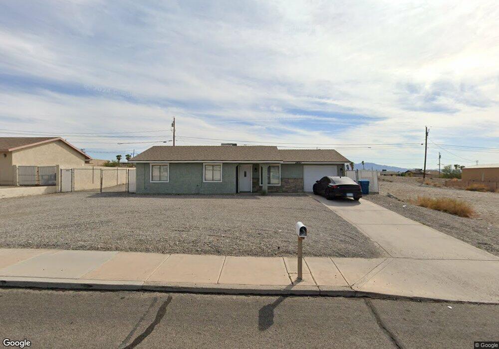
2810 Kiowa Blvd S Lake Havasu City, AZ 86403
Estimated Value: $183,000 - $360,000
3
Beds
2
Baths
1,810
Sq Ft
$162/Sq Ft
Est. Value
About This Home
This home is located at 2810 Kiowa Blvd S, Lake Havasu City, AZ 86403 and is currently estimated at $293,238, approximately $162 per square foot. 2810 Kiowa Blvd S is a home located in Mohave County with nearby schools including Smoketree Elementary School, Thunderbolt Middle School, and Lake Havasu High School.
Ownership History
Date
Name
Owned For
Owner Type
Purchase Details
Closed on
Nov 30, 2018
Sold by
Fullam Douglas L and Fullam Heather J
Bought by
Edf Llc
Current Estimated Value
Purchase Details
Closed on
Sep 28, 2011
Sold by
The Bank Of New York Mellon
Bought by
Fullam Douglas L and Fullam Heather J
Purchase Details
Closed on
Mar 10, 2011
Sold by
Lott Gary D and Hiser Billie S
Bought by
The Bank Of New York Mellon
Purchase Details
Closed on
Jan 9, 2007
Sold by
Hiser Billie S
Bought by
Lott Gary D and Hiser Billie S
Home Financials for this Owner
Home Financials are based on the most recent Mortgage that was taken out on this home.
Original Mortgage
$176,000
Interest Rate
8.89%
Mortgage Type
Stand Alone Refi Refinance Of Original Loan
Create a Home Valuation Report for This Property
The Home Valuation Report is an in-depth analysis detailing your home's value as well as a comparison with similar homes in the area
Home Values in the Area
Average Home Value in this Area
Purchase History
| Date | Buyer | Sale Price | Title Company |
|---|---|---|---|
| Edf Llc | -- | None Available | |
| Fullam Douglas L | $43,600 | Pioneer Title Agency Inc | |
| The Bank Of New York Mellon | $85,500 | First American Title | |
| Lott Gary D | -- | Transnation Title |
Source: Public Records
Mortgage History
| Date | Status | Borrower | Loan Amount |
|---|---|---|---|
| Previous Owner | Lott Gary D | $176,000 |
Source: Public Records
Tax History Compared to Growth
Tax History
| Year | Tax Paid | Tax Assessment Tax Assessment Total Assessment is a certain percentage of the fair market value that is determined by local assessors to be the total taxable value of land and additions on the property. | Land | Improvement |
|---|---|---|---|---|
| 2026 | $362 | -- | -- | -- |
| 2025 | $734 | $21,696 | $0 | $0 |
| 2024 | $734 | $27,370 | $0 | $0 |
| 2023 | $734 | $22,366 | $0 | $0 |
| 2022 | $703 | $17,160 | $0 | $0 |
| 2021 | $853 | $15,327 | $0 | $0 |
| 2019 | $814 | $13,853 | $0 | $0 |
| 2018 | $789 | $11,736 | $0 | $0 |
| 2017 | $782 | $11,651 | $0 | $0 |
| 2016 | $716 | $6,200 | $0 | $0 |
| 2015 | $717 | $6,200 | $0 | $0 |
Source: Public Records
Map
Nearby Homes
- 416 Sunfield Dr
- 2735 Kiowa Blvd S
- 2755 Widgeon Ln
- 2687 Cisco Dr N
- 2715 Widgeon Ln
- 468 Sunfield Dr
- 2949 Mica Dr
- 1919 On Your Level
- 1556rv On Your
- 2945 Maracaibo Ln
- 3002 Maracaibo Ct
- 2987 Miller Ln
- 2774 Hidden Valley Dr
- 170 Sheanwater Ln
- 3477 Kiowa Blvd S
- 600 Stone Acre Dr
- 2775 Briarcrest Dr
- 2953 Canyon Oak Dr
- 2815 Pepperwood Dr
- 2825 Pepperwood Dr
- 2826 Kiowa Blvd S
- 2790 Kiowa Blvd S
- 2836 Kiowa Blvd S
- 2836 Kiowa Blvd S
- 2790 Kiowa Blvd S
- 2827 Kiowa Blvd S
- 2815 Kiowa Blvd S
- 2846 Kiowa Blvd S
- 2831 Kiowa Blvd S
- 2780 Kiowa Blvd S
- 2846 Kiowa Blvd N
- 400 Sunfield Dr
- 2847 Kiowa Blvd S
- 2835 Cisco Dr N
- 2835 Cisco Dr N
- 2825 Cisco Dr N
- 2845 Cisco Dr N
- 2815 Cisco Dr N
- 2772 Kiowa Blvd S
- 2856 Kiowa Blvd S