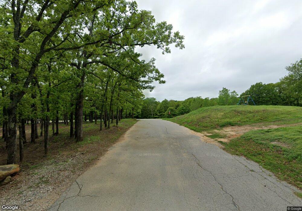
2810 Rocky Point Rd Sand Springs, OK 74063
Estimated Value: $474,000 - $710,095
--
Bed
--
Bath
2,511
Sq Ft
$236/Sq Ft
Est. Value
About This Home
This home is located at 2810 Rocky Point Rd, Sand Springs, OK 74063 and is currently estimated at $592,048, approximately $235 per square foot. 2810 Rocky Point Rd is a home located in Creek County with nearby schools including Mannford Lower Elementary School, Mannford Upper Elementary School, and Mannford Middle School.
Ownership History
Date
Name
Owned For
Owner Type
Purchase Details
Closed on
Jan 21, 2020
Sold by
Battle Caro Don
Bought by
Battle C Don
Current Estimated Value
Purchase Details
Closed on
Mar 6, 2007
Sold by
Rush Presbyterin St Lukes Midical Center
Bought by
Battle Carl Don and Battle Sharon Ann
Purchase Details
Closed on
Jun 16, 1998
Sold by
Rowlan Orvel and Rowlan Violet
Bought by
Battle Carl Don and Sharon Ann
Create a Home Valuation Report for This Property
The Home Valuation Report is an in-depth analysis detailing your home's value as well as a comparison with similar homes in the area
Home Values in the Area
Average Home Value in this Area
Purchase History
| Date | Buyer | Sale Price | Title Company |
|---|---|---|---|
| Battle C Don | -- | None Available | |
| Battle Carl Don | -- | None Available | |
| Battle Carl Don | $60,000 | -- |
Source: Public Records
Tax History Compared to Growth
Tax History
| Year | Tax Paid | Tax Assessment Tax Assessment Total Assessment is a certain percentage of the fair market value that is determined by local assessors to be the total taxable value of land and additions on the property. | Land | Improvement |
|---|---|---|---|---|
| 2025 | $4,541 | $50,339 | $1,507 | $48,832 |
| 2024 | $4,541 | $48,873 | $1,507 | $47,366 |
| 2023 | $4,541 | $47,450 | $1,507 | $45,943 |
| 2022 | $4,129 | $46,068 | $1,507 | $44,561 |
| 2021 | $3,969 | $44,726 | $1,507 | $43,219 |
| 2020 | $4,295 | $46,940 | $1,497 | $45,443 |
| 2019 | $4,209 | $45,574 | $1,494 | $44,080 |
| 2018 | $2,828 | $30,042 | $1,414 | $28,628 |
| 2017 | $2,681 | $29,166 | $1,364 | $27,802 |
| 2016 | $2,586 | $28,317 | $1,316 | $27,001 |
| 2015 | -- | $27,493 | $1,270 | $26,223 |
| 2014 | -- | $26,692 | $1,225 | $25,467 |
Source: Public Records
Map
Nearby Homes
- 0002 W 51st St
- 28265 Forest Ridge Rd
- 6 Eagle Ridge Rd
- 8 Eagle Ridge Rd
- 7 Eagle Ridge Rd
- 142 Lakeview Dr
- 33215 W 56th St S
- 119 N Salt Creek Dr
- 5807 Arrowhead Dr
- 103 Dogwood
- 105 Hinton Blvd
- 26555 W 55th St S
- 152 Granada Dr
- 5219 Tower Dr
- 0000 S 289th West Ave
- 4234 S 261st West Ave
- 35820 W Hwy 33
- 33780 W 33rd Place S
- 34392 W 33rd Place S
- 1 S Ave
- 2987 Rocky Point Rd
- 30969 W 48th Place S
- 4981 S 313th West Ave
- 30104 Wildwood Place
- 30965 W 48th Place S
- 2961 Rocky Point Rd
- 4975 Rocky Point Rd
- 4422 Rocky Point Rd
- 2815 Rocky Point Rd
- 4995 Rocky Point Rd
- 31035 W 48th Place
- 30065 Wildwood Place
- 4985 S 313th West Ave
- 4423 Rocky Point Rd
- 30851 W 48th Place
- 5525 S 313th West Ave
- 29950 Wildwood Place
- 5529 S 313th West Ave
- 29901 Wildwood Place
- 4600 S 289th West Ave
