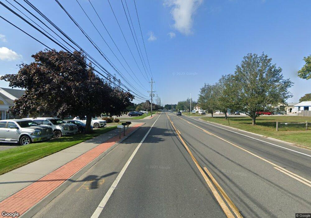
2810 Route 48 Mattituck, NY 11952
Nassau Point NeighborhoodEstimated Value: $575,000 - $746,000
--
Bed
--
Bath
--
Sq Ft
0.38
Acres
About This Home
This home is located at 2810 Route 48, Mattituck, NY 11952 and is currently estimated at $659,209. 2810 Route 48 is a home located in Suffolk County with nearby schools including Mattituck-Cutchogue Elementary School and Mattituck Junior/Senior High School.
Ownership History
Date
Name
Owned For
Owner Type
Purchase Details
Closed on
Sep 20, 2010
Sold by
Holley Margaret C and Holley Arthur
Bought by
Fetten Christine P
Current Estimated Value
Home Financials for this Owner
Home Financials are based on the most recent Mortgage that was taken out on this home.
Original Mortgage
$152,000
Outstanding Balance
$100,370
Interest Rate
4.44%
Mortgage Type
Purchase Money Mortgage
Estimated Equity
$558,839
Purchase Details
Closed on
May 21, 2010
Sold by
Holley Margaret C
Bought by
Holley Margaret C and Holley Arthur
Create a Home Valuation Report for This Property
The Home Valuation Report is an in-depth analysis detailing your home's value as well as a comparison with similar homes in the area
Home Values in the Area
Average Home Value in this Area
Purchase History
| Date | Buyer | Sale Price | Title Company |
|---|---|---|---|
| Fetten Christine P | $190,000 | -- | |
| Holley Margaret C | -- | -- |
Source: Public Records
Mortgage History
| Date | Status | Borrower | Loan Amount |
|---|---|---|---|
| Open | Fetten Christine P | $152,000 |
Source: Public Records
Tax History Compared to Growth
Tax History
| Year | Tax Paid | Tax Assessment Tax Assessment Total Assessment is a certain percentage of the fair market value that is determined by local assessors to be the total taxable value of land and additions on the property. | Land | Improvement |
|---|---|---|---|---|
| 2024 | $4,538 | $2,900 | $600 | $2,300 |
| 2023 | $4,538 | $2,900 | $600 | $2,300 |
| 2022 | $4,323 | $2,900 | $600 | $2,300 |
| 2021 | $4,205 | $2,900 | $600 | $2,300 |
| 2020 | $4,150 | $2,900 | $600 | $2,300 |
| 2019 | $4,150 | $0 | $0 | $0 |
| 2018 | $2,787 | $2,250 | $600 | $1,650 |
| 2017 | $2,325 | $2,250 | $600 | $1,650 |
| 2016 | $2,345 | $2,250 | $600 | $1,650 |
| 2015 | -- | $2,250 | $600 | $1,650 |
| 2014 | -- | $2,250 | $600 | $1,650 |
Source: Public Records
Map
Nearby Homes
- 870 Horton Ave
- 15 Youngs Ave
- 9450 Old Sound Ave
- 375 Factory Ave
- 1396 Main Rd
- 13100 Main Rd
- 385 New Suffolk Ave
- 35 N Riley Ave
- 280 Wickham Ave
- 780 Westview Dr
- 5697 Westphalia Rd
- 1120 New Suffolk Ave Unit 1000-114-12-17.1
- 1750 Private Road #18
- 2005 Westview Dr
- 1125 Ole Jule Ln
- 750 Mayflower Rd
- 2360 Marlene Ln
- 2455 New Suffolk Ave
- 1380 Jackson Landing
- 920 Bray Ave
- 2950 Route 48
- 11219 Sound Ave
- 11219 Old Sound Ave
- 11255 Sound Ave
- 2925 Route 48
- 11175 Sound Ave
- 2855 Route 48
- 3065 Route 48
- 11065 Sound Ave
- 2775 Route 48
- 2775 Route 48
- 2775 Middle Rd
- 2775 County Road 48
- 11365 Old Sound Ave
- 11425 Old Sound Ave
- 11365 Sound Ave
- 2675 Route 48
- 10945 Old Sound Ave
- 10945 Sound Ave
- 11485 Sound Ave
