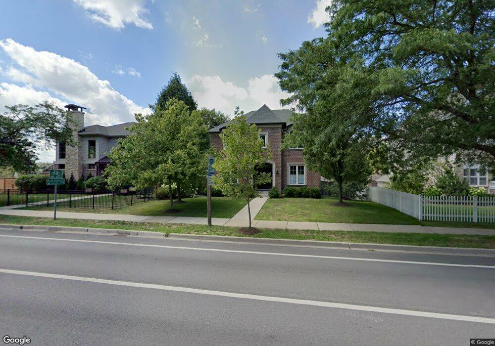
2810 Sheridan Rd Evanston, IL 60201
Central Street NeighborhoodEstimated Value: $1,303,000 - $1,583,931
4
Beds
4
Baths
3,032
Sq Ft
$476/Sq Ft
Est. Value
About This Home
This home is located at 2810 Sheridan Rd, Evanston, IL 60201 and is currently estimated at $1,442,233, approximately $475 per square foot. 2810 Sheridan Rd is a home located in Cook County with nearby schools including Orrington Elementary School, Haven Middle School, and Evanston Township High School.
Ownership History
Date
Name
Owned For
Owner Type
Purchase Details
Closed on
Oct 30, 2009
Sold by
Rsd Sheridan Pointe Llc
Bought by
Holly Rene Martin and Holly Rene
Current Estimated Value
Home Financials for this Owner
Home Financials are based on the most recent Mortgage that was taken out on this home.
Original Mortgage
$833,348
Outstanding Balance
$538,341
Interest Rate
5.11%
Mortgage Type
New Conventional
Estimated Equity
$903,892
Create a Home Valuation Report for This Property
The Home Valuation Report is an in-depth analysis detailing your home's value as well as a comparison with similar homes in the area
Home Values in the Area
Average Home Value in this Area
Purchase History
| Date | Buyer | Sale Price | Title Company |
|---|---|---|---|
| Holly Rene Martin | $1,042,000 | Cti |
Source: Public Records
Mortgage History
| Date | Status | Borrower | Loan Amount |
|---|---|---|---|
| Open | Holly Rene Martin | $833,348 |
Source: Public Records
Tax History
| Year | Tax Paid | Tax Assessment Tax Assessment Total Assessment is a certain percentage of the fair market value that is determined by local assessors to be the total taxable value of land and additions on the property. | Land | Improvement |
|---|---|---|---|---|
| 2025 | $28,386 | $163,000 | $24,736 | $138,264 |
| 2024 | $28,386 | $119,529 | $21,258 | $98,271 |
| 2023 | $27,201 | $119,529 | $21,258 | $98,271 |
| 2022 | $27,201 | $119,529 | $21,258 | $98,271 |
| 2021 | $24,536 | $94,956 | $13,914 | $81,042 |
| 2020 | $24,264 | $94,956 | $13,914 | $81,042 |
| 2019 | $23,770 | $104,005 | $13,914 | $90,091 |
| 2018 | $21,716 | $82,032 | $11,595 | $70,437 |
| 2017 | $21,160 | $82,032 | $11,595 | $70,437 |
| 2016 | $20,289 | $82,032 | $11,595 | $70,437 |
| 2015 | $21,589 | $82,448 | $9,855 | $72,593 |
| 2014 | $21,376 | $82,448 | $9,855 | $72,593 |
| 2013 | $20,866 | $82,448 | $9,855 | $72,593 |
Source: Public Records
Map
Nearby Homes
- 2775 Sheridan Rd
- 2740 Asbury Ave
- 2528 Sheridan Rd
- 726 Lincoln St
- 339 Greenleaf Ave Unit D
- 414 Laurel Ave
- 1115 Colfax St
- 325 Central Ave
- 420 Linden Ave Unit 502
- 2316 Sherman Ave Unit 1B
- 606 5th St Unit 606
- 2258 Sherman Ave Unit 1
- 526 Linden Ave
- 2248 Sherman Ave Unit 3
- 2236 Ridge Ave
- 1201 Noyes St
- 730 Noyes St Unit K3
- 724 Noyes St Unit F1
- 2215 Wesley Ave
- 2647 Poplar Ave
- 2808 Sheridan Place
- 2806 Sheridan Rd
- 2812 Sheridan Rd
- 2802 Sheridan Rd
- 2811 Garrison Ave
- 2815 Garrison Ave
- 2809 Garrison Ave
- 2819 Garrison Ave
- 2805 Garrison Ave
- 2801 Sheridan Rd
- 100 Garrison Ave
- 123 Sheridan Rd
- 915 Isabella St
- 2823 Sheridan Rd
- 2815 Sheridan Rd
- 104 Garrison Ave
- 108 Garrison Ave
- 900 Isabella St
- 2783 Sheridan Rd
- 110 Garrison Ave
Your Personal Tour Guide
Ask me questions while you tour the home.