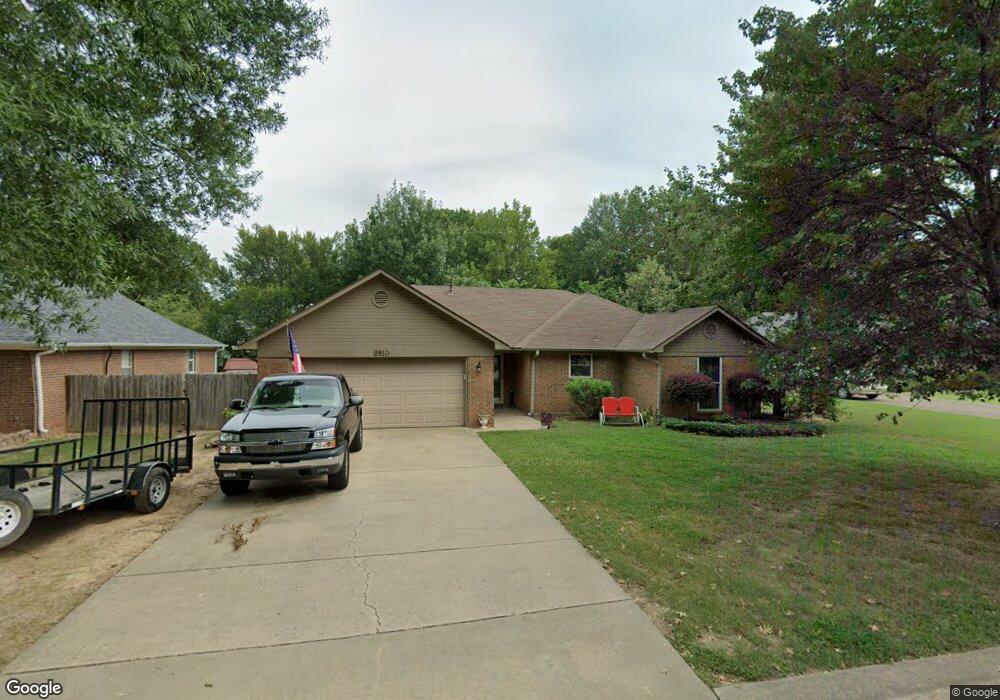
2810 Westport Cir Conway, AR 72034
Southwest Conway NeighborhoodEstimated Value: $184,758 - $203,000
--
Bed
2
Baths
1,279
Sq Ft
$154/Sq Ft
Est. Value
About This Home
This home is located at 2810 Westport Cir, Conway, AR 72034 and is currently estimated at $196,940, approximately $153 per square foot. 2810 Westport Cir is a home located in Faulkner County with nearby schools including Marguerite Vann Elementary School, Carl Stuart Middle School, and Conway Junior High School.
Ownership History
Date
Name
Owned For
Owner Type
Purchase Details
Closed on
Jan 14, 2019
Sold by
Kristen Investments Llc
Bought by
Parsons Brian and Parsons Amanda
Current Estimated Value
Purchase Details
Closed on
Mar 28, 1990
Bought by
Jones
Create a Home Valuation Report for This Property
The Home Valuation Report is an in-depth analysis detailing your home's value as well as a comparison with similar homes in the area
Home Values in the Area
Average Home Value in this Area
Purchase History
| Date | Buyer | Sale Price | Title Company |
|---|---|---|---|
| Parsons Brian | $52,000 | None Available | |
| Jones | -- | -- |
Source: Public Records
Tax History Compared to Growth
Tax History
| Year | Tax Paid | Tax Assessment Tax Assessment Total Assessment is a certain percentage of the fair market value that is determined by local assessors to be the total taxable value of land and additions on the property. | Land | Improvement |
|---|---|---|---|---|
| 2024 | $1,170 | $31,540 | $3,600 | $27,940 |
| 2023 | $1,114 | $22,810 | $3,600 | $19,210 |
| 2022 | $691 | $22,810 | $3,600 | $19,210 |
| 2021 | $642 | $22,810 | $3,600 | $19,210 |
| 2020 | $593 | $19,140 | $3,600 | $15,540 |
| 2019 | $593 | $19,140 | $3,600 | $15,540 |
| 2018 | $618 | $19,410 | $3,600 | $15,810 |
| 2017 | $632 | $19,410 | $3,600 | $15,810 |
| 2016 | $632 | $19,410 | $3,600 | $15,810 |
| 2015 | $1,082 | $21,380 | $3,600 | $17,780 |
| 2014 | $732 | $21,380 | $3,600 | $17,780 |
Source: Public Records
Map
Nearby Homes
- 2765 Carl Stuart St
- 2759 Carl Stuart St
- 2700 Stonebrook Cove
- 0 Ethridge Ln Unit 25037112
- 2020, 37, & 39 Arkansas Ave & Blair Package
- Lot 6 Orchard Hill Ph 4
- 297 Southwick Cove
- 7 Red Bud Dr
- 312 Club Ln
- 305 Pickwicket Dr
- 207 Fairway Dr
- 395 Pippinpost Dr
- 2608 College Ave
- 1 Manchester Dr
- 3107 Stermer Rd
- 3955 College Ave
- 00 College Ave
- 4690 College Ave
- 905 Wineberry
- 925 Wineberry
- 2812 Westport Cir
- 2808 Westport Cir
- 2811 Westport Cir
- 2814 Westport Cir
- 2813 Westport Cir
- 2801 Wills Ct
- 2809 Westport Cir
- 2806 Westport Cir
- 2815 Westport Cir
- 2803 Wills Ct
- 2816 Westport Cir
- 2807 Westport Cir
- 0 Westport Cir
- 2800 Wills Ct
- 2817 Westport Cir
- 2805 Wills Ct
- 2764 Eastport Cir
- 2818 Westport Cir
- 2765 Eastport Cir
- 2802 Wills Ct