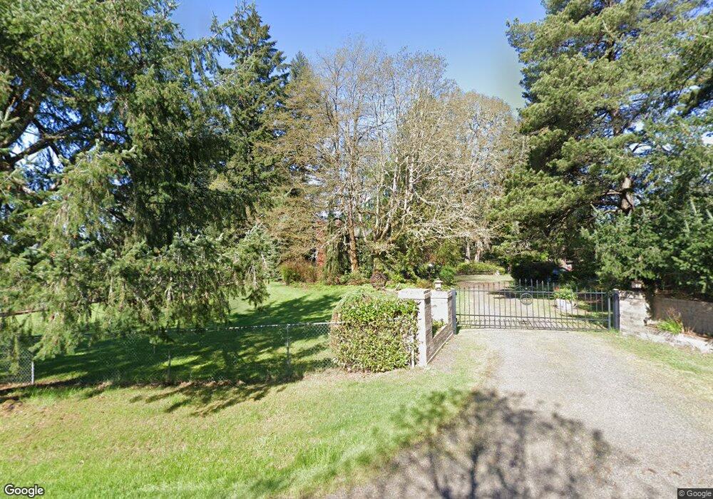
28104 NE 122nd Ave Battle Ground, WA 98604
Estimated Value: $839,000 - $1,010,000
4
Beds
2
Baths
2,468
Sq Ft
$374/Sq Ft
Est. Value
About This Home
This home is located at 28104 NE 122nd Ave, Battle Ground, WA 98604 and is currently estimated at $923,710, approximately $374 per square foot. 28104 NE 122nd Ave is a home located in Clark County with nearby schools including Daybreak Primary School, Daybreak Middle School, and Battle Ground High School.
Ownership History
Date
Name
Owned For
Owner Type
Purchase Details
Closed on
Aug 20, 2019
Sold by
Hutani Tina
Bought by
Hutani Tina and Jeler Nello
Current Estimated Value
Purchase Details
Closed on
Mar 12, 2002
Sold by
Jeler Nello
Bought by
Hutani Tina
Home Financials for this Owner
Home Financials are based on the most recent Mortgage that was taken out on this home.
Original Mortgage
$205,000
Outstanding Balance
$85,212
Interest Rate
6.99%
Estimated Equity
$838,498
Purchase Details
Closed on
Dec 6, 1999
Sold by
Boatwright Richard D
Bought by
Kistler Grant I and Kistler Terri L
Home Financials for this Owner
Home Financials are based on the most recent Mortgage that was taken out on this home.
Original Mortgage
$176,900
Interest Rate
7.96%
Create a Home Valuation Report for This Property
The Home Valuation Report is an in-depth analysis detailing your home's value as well as a comparison with similar homes in the area
Home Values in the Area
Average Home Value in this Area
Purchase History
| Date | Buyer | Sale Price | Title Company |
|---|---|---|---|
| Hutani Tina | -- | None Available | |
| Hutani Tina | -- | First American Title Ins Co | |
| Hutani Tina | $270,000 | First American Title | |
| Kistler Grant I | $294,900 | Charter Title Corporation |
Source: Public Records
Mortgage History
| Date | Status | Borrower | Loan Amount |
|---|---|---|---|
| Open | Hutani Tina | $205,000 | |
| Previous Owner | Kistler Grant I | $176,900 |
Source: Public Records
Tax History Compared to Growth
Tax History
| Year | Tax Paid | Tax Assessment Tax Assessment Total Assessment is a certain percentage of the fair market value that is determined by local assessors to be the total taxable value of land and additions on the property. | Land | Improvement |
|---|---|---|---|---|
| 2025 | $7,840 | $974,696 | $290,716 | $683,980 |
| 2024 | $5,975 | $892,486 | $290,716 | $601,770 |
| 2023 | $6,185 | $762,464 | $184,561 | $577,903 |
| 2022 | $5,535 | $722,357 | $166,057 | $556,300 |
| 2021 | $5,539 | $599,718 | $131,611 | $468,107 |
| 2020 | $5,219 | $548,280 | $127,214 | $421,066 |
| 2019 | $4,484 | $506,311 | $127,214 | $379,097 |
| 2018 | $5,622 | $497,906 | $0 | $0 |
| 2017 | $4,795 | $478,109 | $0 | $0 |
| 2016 | $4,732 | $442,661 | $0 | $0 |
| 2015 | $4,779 | $402,693 | $0 | $0 |
| 2014 | -- | $387,538 | $0 | $0 |
| 2013 | -- | $341,391 | $0 | $0 |
Source: Public Records
Map
Nearby Homes
- 11700 NE 279th St
- 0 NE 279th St Unit 717779825
- 0 NE 279th St Unit 24101609
- 0 NE 279th St Unit 24073819
- 0 NE 279th St Unit 24075001
- 11221 NE 279th St
- 29311 NE 124th Ave
- 28900 NE 112th Ave
- 9701 NE 299th St
- 27203 NE 103rd Ave
- 13706 NE River Bend Rd
- 11007 NE Wilde Rd
- 16401 NE 278th St
- 9827 NE 299th St
- 11200 NE Gren Fels Dr
- 30108 NE Mcbride Rd
- 25113 NE Dublin Rd
- 3039 NW 6th Ave
- 3031 NW 6th Ave
- 3023 NW 6th Ave
- 28016 NE 122nd Ave
- 12016 NE 279th St
- 28118 NE 122nd Ave
- 28111 NE 122nd Ave
- 27937 NE 122nd Ave
- 12013 NE 279th St
- 12210 NE 279th St
- 11819 NE 279th St
- 12117 NE 279th St
- 12506 NE 279th St
- 11801 NE 279th St
- 12301 NE 279th St
- 28411 NE 122nd Ave
- 28416 NE 122nd Ave
- 0 NE 279th St Unit 716824
- 0 NE 279th St Unit 24233037
- 0 NE 279th St Unit 24679117
- 0 NE 279th St Unit 24665082
- 0 NE 279th St Unit 23383228
- 0 NE 279th St Unit 22601036