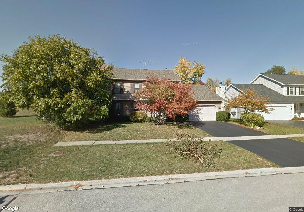
2811 Fargo Blvd Unit 2 Geneva, IL 60134
Southwest Geneva NeighborhoodEstimated Value: $447,000 - $512,000
3
Beds
3
Baths
2,205
Sq Ft
$216/Sq Ft
Est. Value
About This Home
This home is located at 2811 Fargo Blvd Unit 2, Geneva, IL 60134 and is currently estimated at $476,954, approximately $216 per square foot. 2811 Fargo Blvd Unit 2 is a home located in Kane County with nearby schools including Williamsburg Elementary School, Geneva Community High School, and St. Peter School.
Ownership History
Date
Name
Owned For
Owner Type
Purchase Details
Closed on
Aug 18, 2007
Sold by
Benchmark Bank
Bought by
Mccormick Thomas E
Current Estimated Value
Purchase Details
Closed on
Dec 19, 2000
Sold by
Penkala Ronald G and Penkala Frances C
Bought by
Mccormick Thomas E
Home Financials for this Owner
Home Financials are based on the most recent Mortgage that was taken out on this home.
Original Mortgage
$120,000
Interest Rate
7.77%
Create a Home Valuation Report for This Property
The Home Valuation Report is an in-depth analysis detailing your home's value as well as a comparison with similar homes in the area
Home Values in the Area
Average Home Value in this Area
Purchase History
| Date | Buyer | Sale Price | Title Company |
|---|---|---|---|
| Mccormick Thomas E | -- | None Available | |
| Mccormick Thomas E | $242,000 | Chicago Title Insurance Co |
Source: Public Records
Mortgage History
| Date | Status | Borrower | Loan Amount |
|---|---|---|---|
| Previous Owner | Mccormick Thomas E | $120,000 |
Source: Public Records
Tax History Compared to Growth
Tax History
| Year | Tax Paid | Tax Assessment Tax Assessment Total Assessment is a certain percentage of the fair market value that is determined by local assessors to be the total taxable value of land and additions on the property. | Land | Improvement |
|---|---|---|---|---|
| 2024 | $9,371 | $130,216 | $33,506 | $96,710 |
| 2023 | $9,104 | $118,378 | $30,460 | $87,918 |
| 2022 | $8,728 | $109,996 | $28,303 | $81,693 |
| 2021 | $8,469 | $105,908 | $27,251 | $78,657 |
| 2020 | $8,369 | $104,291 | $26,835 | $77,456 |
| 2019 | $8,345 | $102,316 | $26,327 | $75,989 |
| 2018 | $8,332 | $102,316 | $26,327 | $75,989 |
| 2017 | $8,236 | $99,587 | $25,625 | $73,962 |
| 2016 | $8,276 | $98,241 | $25,279 | $72,962 |
| 2015 | -- | $93,403 | $24,034 | $69,369 |
| 2014 | -- | $91,572 | $24,034 | $67,538 |
| 2013 | -- | $91,572 | $24,034 | $67,538 |
Source: Public Records
Map
Nearby Homes
- 823 Sunflower Dr
- 2827 Caldwell Ln Unit 2
- 839 S Randall Rd
- 948 Bluestem Dr
- 2927 Caldwell Ln Unit 2
- 715 Samantha Cir
- 869 Cambridge Dr
- 748 Hamilton Way
- 38W335 Killey Ln
- 668 Branson Dr
- 2671 Stone Cir Unit 208
- 648 Branson Dr
- 2767 Stone Cir
- 2771 Stone Cir
- 2747 Stone Cir
- 2749 Stone Cir
- 2751 Stone Cir
- 2753 Stone Cir
- 2769 Stone Cir
- 644 Branson Dr
- 2799 Fargo Blvd
- 2786 Coventry Ct
- 2741 Fargo Blvd
- 1100 Shoop Dr
- 2796 Coventry Ct
- 2731 Fargo Blvd Unit 2
- 2766 Coventry Ct
- 1110 Shoop Dr
- 2740 Fargo Blvd
- 2726 Coventry Ct
- 2721 Fargo Blvd
- 1021 Stonewood Glen Dr
- 939 Stonewood Glen Dr
- 931 Stonewood Glen Dr
- 2800 Coventry Ct
- 953 Stonewood Glen Dr
- 1140 Shoop Dr
- 1109 Shoop Dr
- 1007 Stonewood Glen Dr
- 1000 Wood Ave