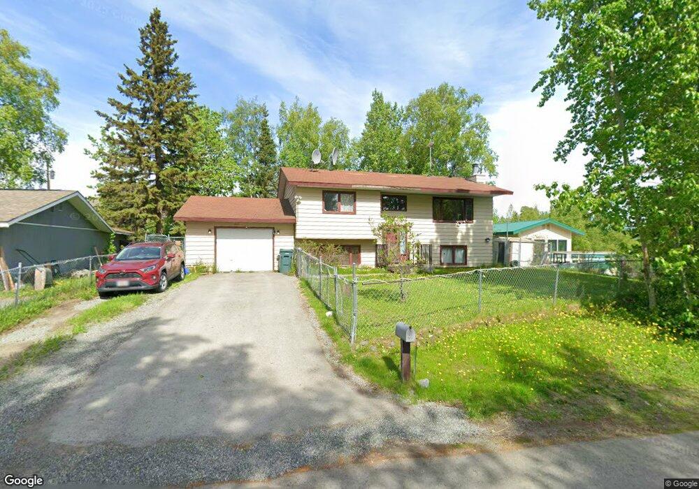
2811 Iris Dr Anchorage, AK 99517
Spenard NeighborhoodEstimated Value: $264,000 - $450,167
4
Beds
2
Baths
2,032
Sq Ft
$176/Sq Ft
Est. Value
About This Home
This home is located at 2811 Iris Dr, Anchorage, AK 99517 and is currently estimated at $357,792, approximately $176 per square foot. 2811 Iris Dr is a home located in Anchorage Municipality with nearby schools including Northwood Elementary School, Romig Middle School, and West High School.
Ownership History
Date
Name
Owned For
Owner Type
Purchase Details
Closed on
Jan 18, 2011
Sold by
Pohjola John R
Bought by
Pohjola Margaret
Current Estimated Value
Purchase Details
Closed on
Jan 2, 2004
Sold by
Rhyne Steven R and Rhyne Robert M
Bought by
Pohjola John R and Pohjola Margaret P
Home Financials for this Owner
Home Financials are based on the most recent Mortgage that was taken out on this home.
Original Mortgage
$167,000
Outstanding Balance
$77,611
Interest Rate
5.81%
Mortgage Type
Purchase Money Mortgage
Estimated Equity
$280,181
Purchase Details
Closed on
Dec 11, 2001
Sold by
Mills Albert Lee and Rhyne Michelle S
Bought by
Rhyne Michelle S and The Michelle S Rhyne Living Trust
Create a Home Valuation Report for This Property
The Home Valuation Report is an in-depth analysis detailing your home's value as well as a comparison with similar homes in the area
Home Values in the Area
Average Home Value in this Area
Purchase History
| Date | Buyer | Sale Price | Title Company |
|---|---|---|---|
| Pohjola Margaret | -- | None Available | |
| Pohjola John R | -- | -- | |
| Rhyne Michelle S | -- | -- |
Source: Public Records
Mortgage History
| Date | Status | Borrower | Loan Amount |
|---|---|---|---|
| Open | Pohjola John R | $167,000 |
Source: Public Records
Tax History
| Year | Tax Paid | Tax Assessment Tax Assessment Total Assessment is a certain percentage of the fair market value that is determined by local assessors to be the total taxable value of land and additions on the property. | Land | Improvement |
|---|---|---|---|---|
| 2025 | $5,100 | $409,600 | $95,300 | $314,300 |
| 2024 | $5,100 | $390,900 | $95,300 | $295,600 |
| 2023 | $6,098 | $358,100 | $95,300 | $262,800 |
| 2022 | $5,049 | $349,800 | $95,300 | $254,500 |
| 2021 | $5,685 | $315,500 | $95,300 | $220,200 |
| 2020 | $4,476 | $313,600 | $95,300 | $218,300 |
| 2019 | $4,373 | $317,300 | $95,300 | $222,000 |
| 2018 | $4,102 | $300,100 | $88,300 | $211,800 |
| 2017 | $4,557 | $311,000 | $88,300 | $222,700 |
| 2016 | $3,760 | $312,900 | $82,900 | $230,000 |
| 2015 | $3,760 | $297,100 | $82,900 | $214,200 |
| 2014 | $3,760 | $277,600 | $82,900 | $194,700 |
Source: Public Records
Map
Nearby Homes
- 4302 Forrest Rd
- 3105 Lakeshore Dr Unit 4062
- 2807 Malibu Meadows Way Unit 2A
- 2831 W International Airport Rd Unit F103
- 2815 W International Airport Rd Unit B104
- 3333 Lakeshore Dr Unit 2
- NHN Northwood Dr
- 5000 Northwood Dr
- 4000 Iowa Dr
- 2204 W 46th Ave
- 2201 W 47th Ave
- 4420 Van Buren St
- 2060 Wenmatt Cir
- 3240 Wiley Post Loop
- 1808 W 47th Ave
- 3517 Vintage Cir
- 2511 Abbey Ln
- 1808 Cleveland Ave
- 4306 Hayes St
- 3605 Oregon Dr Unit 4
Your Personal Tour Guide
Ask me questions while you tour the home.