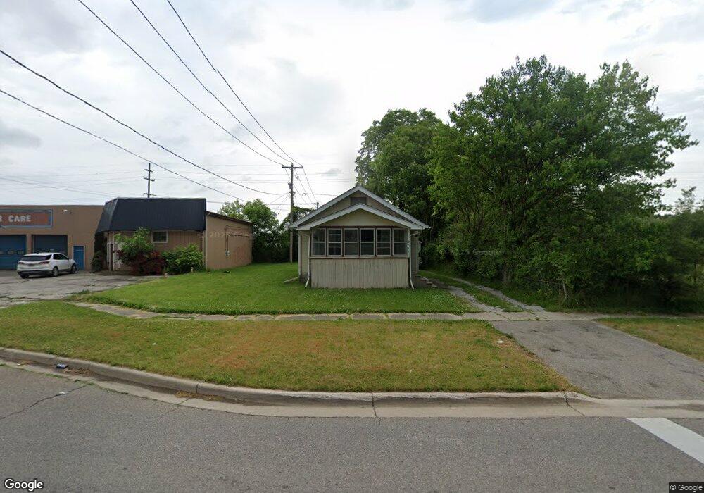
2811 Leith St Flint, MI 48506
Potter Longway NeighborhoodEstimated Value: $44,000 - $60,130
2
Beds
1
Bath
768
Sq Ft
$68/Sq Ft
Est. Value
About This Home
This home is located at 2811 Leith St, Flint, MI 48506 and is currently estimated at $52,033, approximately $67 per square foot. 2811 Leith St is a home located in Genesee County with nearby schools including Potter School, Richfield Public School Academy, and Richfield Early Learning Center.
Ownership History
Date
Name
Owned For
Owner Type
Purchase Details
Closed on
Jun 3, 2010
Sold by
Cooper Mark L and Cooper Deborah L
Bought by
Frazier Adam W and Rupright Holly M
Current Estimated Value
Home Financials for this Owner
Home Financials are based on the most recent Mortgage that was taken out on this home.
Original Mortgage
$24,000
Outstanding Balance
$18,836
Interest Rate
9%
Mortgage Type
Seller Take Back
Estimated Equity
$33,197
Purchase Details
Closed on
May 19, 2010
Sold by
Kinkle Mary Jane and Kinkle Richard F
Bought by
Cooper Mark L
Home Financials for this Owner
Home Financials are based on the most recent Mortgage that was taken out on this home.
Original Mortgage
$24,000
Outstanding Balance
$18,836
Interest Rate
9%
Mortgage Type
Seller Take Back
Estimated Equity
$33,197
Purchase Details
Closed on
Nov 4, 2005
Sold by
Kinkle Mary Jane and Kinkle Richard F
Bought by
Cooper Mark L
Create a Home Valuation Report for This Property
The Home Valuation Report is an in-depth analysis detailing your home's value as well as a comparison with similar homes in the area
Home Values in the Area
Average Home Value in this Area
Purchase History
| Date | Buyer | Sale Price | Title Company |
|---|---|---|---|
| Frazier Adam W | $25,000 | None Available | |
| Cooper Mark L | $15,000 | None Available | |
| Cooper Mark L | -- | Mid State Title Services Inc |
Source: Public Records
Mortgage History
| Date | Status | Borrower | Loan Amount |
|---|---|---|---|
| Open | Frazier Adam W | $24,000 |
Source: Public Records
Tax History
| Year | Tax Paid | Tax Assessment Tax Assessment Total Assessment is a certain percentage of the fair market value that is determined by local assessors to be the total taxable value of land and additions on the property. | Land | Improvement |
|---|---|---|---|---|
| 2025 | $641 | $18,100 | $0 | $0 |
| 2024 | $593 | $16,100 | $0 | $0 |
| 2023 | $589 | $12,600 | $0 | $0 |
| 2022 | $0 | $10,000 | $0 | $0 |
| 2021 | $604 | $9,300 | $0 | $0 |
| 2020 | $557 | $7,900 | $0 | $0 |
| 2019 | $551 | $6,000 | $0 | $0 |
| 2018 | $541 | $6,200 | $0 | $0 |
| 2017 | $672 | $0 | $0 | $0 |
| 2016 | $557 | $0 | $0 | $0 |
| 2015 | -- | $0 | $0 | $0 |
| 2014 | -- | $0 | $0 | $0 |
| 2012 | -- | $8,900 | $0 | $0 |
Source: Public Records
Map
Nearby Homes
- 3018 Dakota Ave
- 3010 Wyoming Ave
- 2719 Branch Rd
- 2701 Branch Rd
- 3118 Wyoming Ave
- 2426 Hoff St
- 3006 Agree Ave
- 2217 Maryland Ave
- 3210 Wyoming Ave
- 2321 Levern St
- 2211 Torrance St
- 2506 Arlington Ave
- 3314 Dakota Ave
- 3149 Whittier Ave
- 2426 Broadway Blvd
- 2935 Richfield Rd
- 1826 Dakota Ave
- 3413 Dakota Ave
- 1805 Montana Ave
- 1733 Oklahoma Ave
Your Personal Tour Guide
Ask me questions while you tour the home.