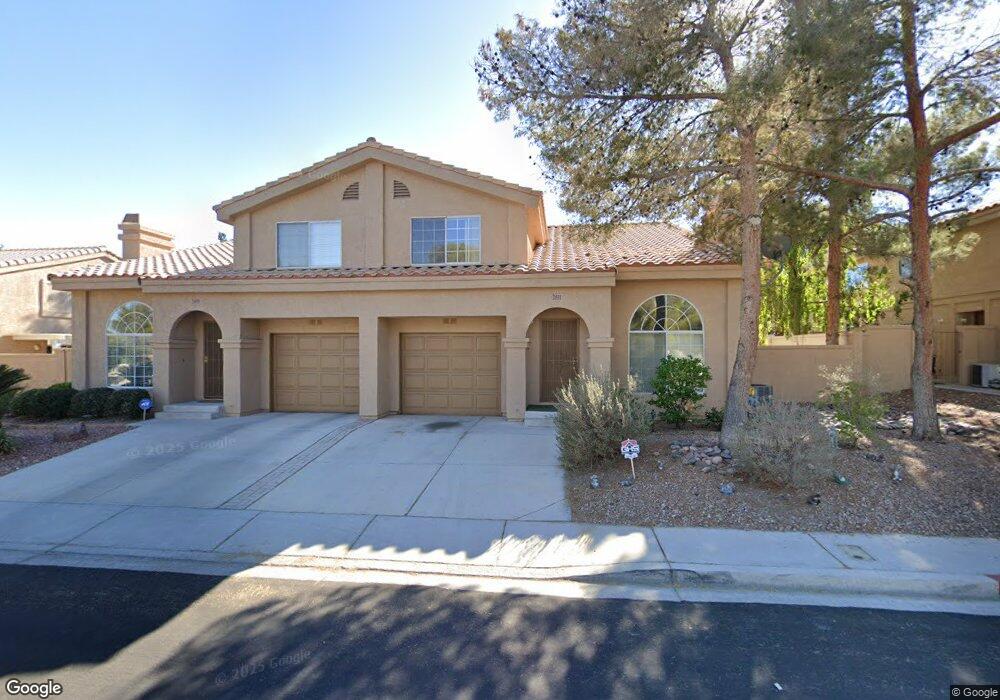
2811 Misty Grove Dr Henderson, NV 89074
Green Valley South NeighborhoodEstimated Value: $321,000 - $346,000
2
Beds
3
Baths
1,247
Sq Ft
$265/Sq Ft
Est. Value
About This Home
This home is located at 2811 Misty Grove Dr, Henderson, NV 89074 and is currently estimated at $330,354, approximately $264 per square foot. 2811 Misty Grove Dr is a home located in Clark County with nearby schools including Aggie Roberts Elementary School, Jack Lund Schofield Middle School, and Silverado High School.
Ownership History
Date
Name
Owned For
Owner Type
Purchase Details
Closed on
Feb 16, 2018
Sold by
Berta Beatrice
Bought by
Mr Property Inc
Current Estimated Value
Purchase Details
Closed on
Feb 2, 2012
Sold by
Berta Charles and Berta Beatrice
Bought by
Collier Rosalyn and Charles & Beatrice Berta Irrevocable Gra
Purchase Details
Closed on
Dec 5, 2005
Sold by
Berta Charles and Berta Beatrice
Bought by
Berta Charles and Berta Beatrice
Create a Home Valuation Report for This Property
The Home Valuation Report is an in-depth analysis detailing your home's value as well as a comparison with similar homes in the area
Home Values in the Area
Average Home Value in this Area
Purchase History
| Date | Buyer | Sale Price | Title Company |
|---|---|---|---|
| Mr Property Inc | $145,000 | Stewart Title Company F | |
| Collier Rosalyn | -- | None Available | |
| Berta Charles | -- | -- |
Source: Public Records
Tax History
| Year | Tax Paid | Tax Assessment Tax Assessment Total Assessment is a certain percentage of the fair market value that is determined by local assessors to be the total taxable value of land and additions on the property. | Land | Improvement |
|---|---|---|---|---|
| 2026 | $1,551 | $67,170 | $29,050 | $38,120 |
| 2024 | $1,330 | $66,746 | $28,350 | $38,396 |
| 2023 | $1,330 | $61,210 | $25,900 | $35,310 |
| 2022 | $1,232 | $55,100 | $21,420 | $33,680 |
| 2021 | $1,141 | $47,584 | $19,950 | $27,634 |
| 2020 | $1,056 | $48,199 | $19,250 | $28,949 |
| 2019 | $990 | $46,017 | $17,150 | $28,867 |
| 2018 | $945 | $40,335 | $12,600 | $27,735 |
| 2017 | $1,142 | $39,014 | $11,550 | $27,464 |
| 2016 | $885 | $36,493 | $9,100 | $27,393 |
| 2015 | $882 | $30,178 | $5,950 | $24,228 |
| 2014 | $855 | $28,243 | $5,250 | $22,993 |
Source: Public Records
Map
Nearby Homes
- 2813 Cacto Ct
- 2833 Dawn Crossing Dr
- 139 W Carriage Way
- 2925 Wigwam Pkwy Unit 1621
- 2925 Wigwam Pkwy Unit 312
- 144 Cologne Ct
- 2823 Shannon Cove Dr
- 2719 Lovington Dr
- 2534 Quail Canyon Ave
- 84 Urbana Dr Unit 1
- 2850 Nikki Place
- 149 Cologne Ct
- 2720 Knightsbridge Rd
- 2716 Knightsbridge Rd
- 107 Blueberry Ln
- 133 Wynntry Dr
- 141 Alpine Ct
- 112 Wynntry Dr
- 2723 Mallard Landing Ave Unit 4
- 59 Tidwell Ln
- 2809 Misty Grove Dr
- 2813 Misty Grove Dr
- 2812 Crystal Lantern Dr
- 2810 Crystal Lantern Dr
- 2814 Crystal Lantern Dr Unit n/a
- 2814 Crystal Lantern Dr
- 2807 Misty Grove Dr
- 2815 Misty Grove Dr
- 2808 Crystal Lantern Dr
- 2816 Crystal Lantern Dr
- 2805 Misty Grove Dr
- 2806 Crystal Lantern Dr
- 2811 Crystal Lantern Dr
- 2809 Crystal Lantern Dr
- 2813 Crystal Lantern Dr
- 2807 Crystal Lantern Dr
- 2803 Misty Grove Dr
- 2815 Crystal Lantern Dr
- 2804 Crystal Lantern Dr Unit n/a
- 2804 Crystal Lantern Dr