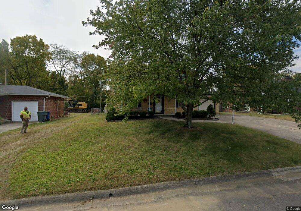
2811 Nicholas Ave Columbus, OH 43204
Brookshire NeighborhoodEstimated Value: $225,000 - $288,000
4
Beds
2
Baths
1,600
Sq Ft
$161/Sq Ft
Est. Value
About This Home
This home is located at 2811 Nicholas Ave, Columbus, OH 43204 and is currently estimated at $258,077, approximately $161 per square foot. 2811 Nicholas Ave is a home located in Franklin County with nearby schools including Binns Elementary School, Wedgewood Middle School, and Briggs High School.
Ownership History
Date
Name
Owned For
Owner Type
Purchase Details
Closed on
Aug 31, 2006
Sold by
Mayes Paul E and Mayes Scherry A
Bought by
Stair Joseph Phil and Stair Sharon A
Current Estimated Value
Home Financials for this Owner
Home Financials are based on the most recent Mortgage that was taken out on this home.
Original Mortgage
$132,400
Interest Rate
6.88%
Mortgage Type
Purchase Money Mortgage
Purchase Details
Closed on
Jul 27, 1998
Sold by
Mayes Scherry A
Bought by
Mayes Paul E and Mayes Scherry A
Home Financials for this Owner
Home Financials are based on the most recent Mortgage that was taken out on this home.
Original Mortgage
$106,250
Interest Rate
7.03%
Purchase Details
Closed on
Jan 5, 1993
Purchase Details
Closed on
Jun 1, 1980
Create a Home Valuation Report for This Property
The Home Valuation Report is an in-depth analysis detailing your home's value as well as a comparison with similar homes in the area
Home Values in the Area
Average Home Value in this Area
Purchase History
| Date | Buyer | Sale Price | Title Company |
|---|---|---|---|
| Stair Joseph Phil | $132,400 | None Available | |
| Mayes Paul E | -- | -- | |
| -- | $94,500 | -- | |
| -- | $53,500 | -- |
Source: Public Records
Mortgage History
| Date | Status | Borrower | Loan Amount |
|---|---|---|---|
| Previous Owner | Stair Joseph Phil | $132,400 | |
| Previous Owner | Mayes Paul E | $106,250 |
Source: Public Records
Tax History Compared to Growth
Tax History
| Year | Tax Paid | Tax Assessment Tax Assessment Total Assessment is a certain percentage of the fair market value that is determined by local assessors to be the total taxable value of land and additions on the property. | Land | Improvement |
|---|---|---|---|---|
| 2024 | $3,278 | $82,850 | $15,440 | $67,410 |
| 2023 | $3,264 | $82,850 | $15,440 | $67,410 |
| 2022 | $2,137 | $49,950 | $7,390 | $42,560 |
| 2021 | $2,141 | $49,950 | $7,390 | $42,560 |
| 2020 | $2,143 | $49,950 | $7,390 | $42,560 |
| 2019 | $2,058 | $42,670 | $6,410 | $36,260 |
| 2018 | $1,755 | $42,670 | $6,410 | $36,260 |
| 2017 | $1,831 | $42,670 | $6,410 | $36,260 |
| 2016 | $1,605 | $32,980 | $5,850 | $27,130 |
| 2015 | $1,457 | $32,980 | $5,850 | $27,130 |
| 2014 | $1,461 | $32,980 | $5,850 | $27,130 |
| 2013 | $894 | $38,815 | $6,895 | $31,920 |
Source: Public Records
Map
Nearby Homes
- 2856 Chesfield Dr
- 2987 Daisy Ln
- 1520 Fall Brook Rd
- 1248 Gresham Rd
- 2929 Briggs Rd
- 2547 Rosedale Ave
- 2743 Saint Joseph Ave
- 2610 Spaatz Ave
- 1037 Chestershire Rd
- 0 S Central Ave
- 1465 Tall Meadows Dr
- 2800 Alkire Rd
- 0 Glencreek Rd
- 1181 Onslow Dr
- 2743 Bernadette Rd
- 903 S Harris Ave
- 3029 Rosedale Ave
- 2783-2785 Vanderberg Ave
- 2894 Creith Ct
- 2436 Hardesty Dr S Unit 4
- 2801 Nicholas Ave
- 2819 Nicholas Ave
- 2793 Nicholas Ave
- 2827 Nicholas Ave
- 1397 Bronwyn Ave
- 2816 Nicholas Ave
- 2824 Nicholas Ave
- 2835 Nicholas Ave
- 1400 Bronwyn Ave
- 2832 Nicholas Ave
- 2843 Nicholas Ave
- 1385 Bronwyn Ave
- 1392 Bronwyn Ave
- 2805 Briggston Ave
- 2840 Nicholas Ave
- 2817 Briggston Ave
- 2825 Briggston Ave
- 1384 Bronwyn Ave
- 2851 Nicholas Ave