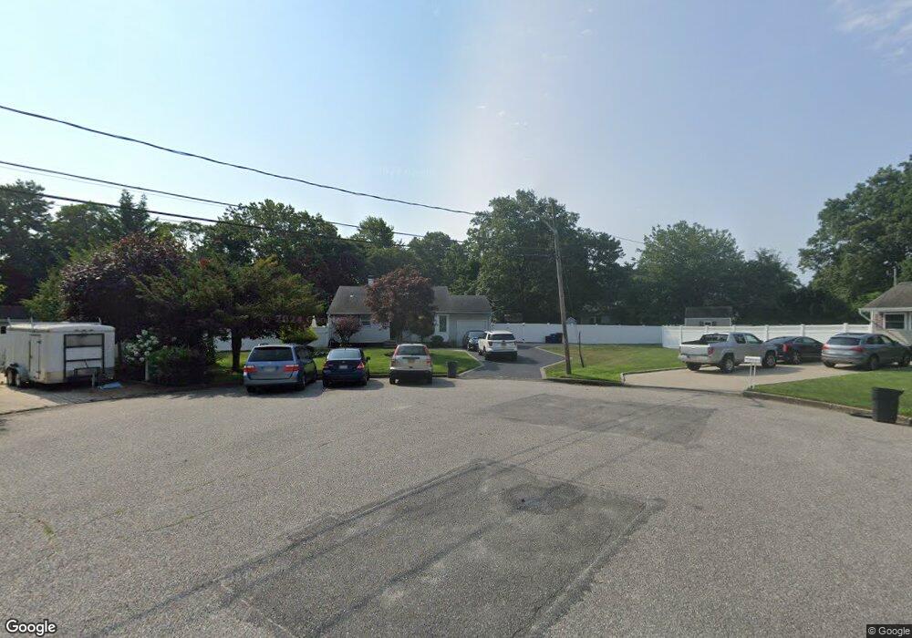
2811 Sandra Ct Medford, NY 11763
Estimated Value: $526,000 - $605,000
3
Beds
1
Bath
1,357
Sq Ft
$408/Sq Ft
Est. Value
About This Home
This home is located at 2811 Sandra Ct, Medford, NY 11763 and is currently estimated at $553,405, approximately $407 per square foot. 2811 Sandra Ct is a home located in Suffolk County with nearby schools including Patchogue-Medford High School.
Ownership History
Date
Name
Owned For
Owner Type
Purchase Details
Closed on
May 26, 2006
Sold by
Paina Jose M
Bought by
Peralty Fidias
Current Estimated Value
Purchase Details
Closed on
Jan 21, 2004
Sold by
Nunez Eddy and Nunez Maria F
Bought by
Paiva Jose M
Home Financials for this Owner
Home Financials are based on the most recent Mortgage that was taken out on this home.
Original Mortgage
$261,000
Interest Rate
5.65%
Mortgage Type
Purchase Money Mortgage
Purchase Details
Closed on
May 6, 1997
Sold by
Hansen Patricia J
Bought by
Nunez Eddy and Nunez Maria F
Create a Home Valuation Report for This Property
The Home Valuation Report is an in-depth analysis detailing your home's value as well as a comparison with similar homes in the area
Home Values in the Area
Average Home Value in this Area
Purchase History
| Date | Buyer | Sale Price | Title Company |
|---|---|---|---|
| Peralty Fidias | $375,000 | -- | |
| Paiva Jose M | $275,000 | Fidelity National Title Insu | |
| Nunez Eddy | $93,500 | Chicago Title Insurance Co |
Source: Public Records
Mortgage History
| Date | Status | Borrower | Loan Amount |
|---|---|---|---|
| Previous Owner | Paiva Jose M | $261,000 |
Source: Public Records
Tax History
| Year | Tax Paid | Tax Assessment Tax Assessment Total Assessment is a certain percentage of the fair market value that is determined by local assessors to be the total taxable value of land and additions on the property. | Land | Improvement |
|---|---|---|---|---|
| 2024 | $6,961 | $1,810 | $200 | $1,610 |
| 2023 | $6,961 | $1,810 | $200 | $1,610 |
| 2022 | $5,992 | $1,810 | $200 | $1,610 |
| 2021 | $5,992 | $1,810 | $200 | $1,610 |
| 2020 | $6,222 | $1,810 | $200 | $1,610 |
| 2019 | $6,222 | $0 | $0 | $0 |
| 2018 | $5,790 | $1,810 | $200 | $1,610 |
| 2017 | $5,790 | $1,810 | $200 | $1,610 |
| 2016 | $5,676 | $1,810 | $200 | $1,610 |
| 2015 | -- | $1,810 | $200 | $1,610 |
| 2014 | -- | $1,810 | $200 | $1,610 |
Source: Public Records
Map
Nearby Homes
- 2809 Heather Ave
- 2617 Kane Ave
- 39 Locust Ave S
- 2909 Falcon Ave
- 37 Locust Ave S
- 2711 Connecticut Ave
- 2700 Falcon Ave
- 2914 Connecticut Ave
- 0 Cedar Ln Unit ONE3556748
- 2804 Eagle Ave
- 3019 Sipp Ave
- 28 Timber Trail Ln
- 3103 Falcon Ave
- 3 Timber Trail Ln
- Lot 16 Fox Hunt Ln
- 21 Masem Ct
- 3004 New London Ave
- 3106 Devon Ave
- 0 Bellport Ave
- 3107 Chestnut Ave
- 2805 Billy Ct
- 2809 Sandra Ct
- 2810 Sandra Ct
- 2806 Billy Ct
- 2808 Sandra Ct
- 2807 Sandra Ct
- 2803 Billy Ct
- 2804 Billy Ct
- 2806 Sandra Ct
- 61 Hagerman Ave
- 1 Long Acre Ct
- 2809 John Roe Smith Ave
- 2807 John Roe Smith Ave
- 2805 Sandra Ct
- 63 Hagerman Ave
- 2802 Billy Ct
- 2811 John Roe Smith Ave
- 2801 Billy Ct
- 2804 Sandra Ct
- 2813 John Roe Smith Ave
Your Personal Tour Guide
Ask me questions while you tour the home.