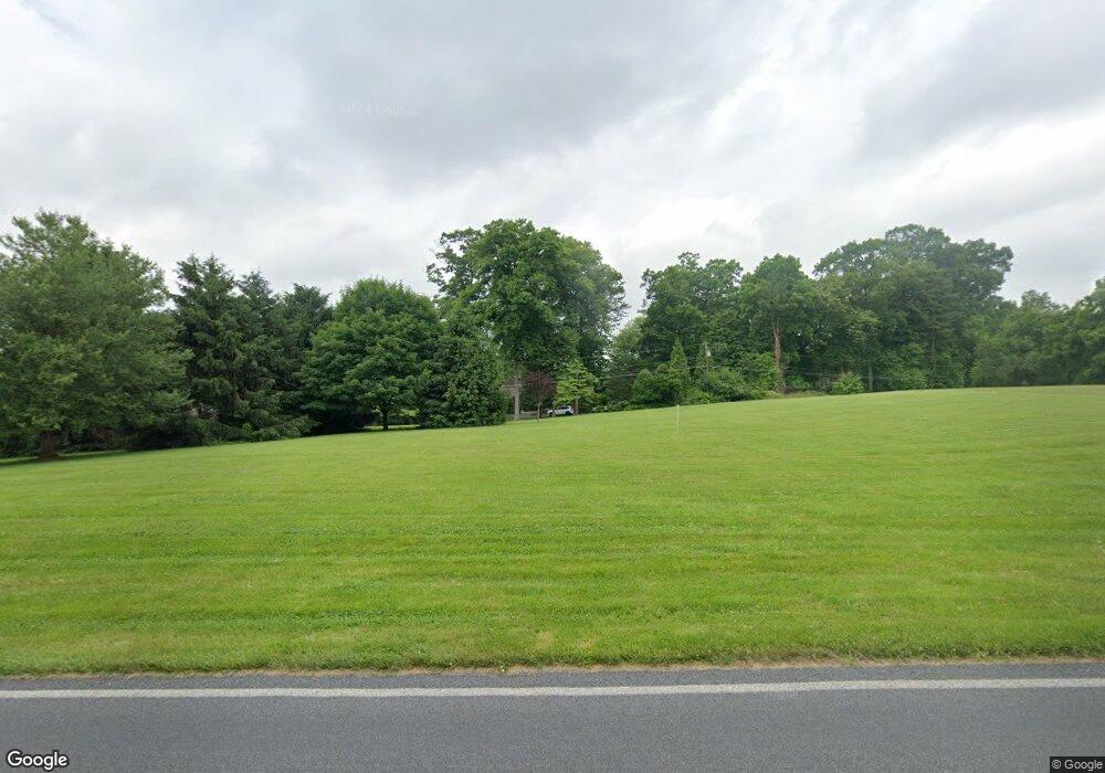
2812 MacUngie Rd Macungie, PA 18062
Lower Macungie Township East NeighborhoodEstimated Value: $291,464 - $592,000
--
Bed
--
Bath
--
Sq Ft
3.01
Acres
About This Home
This home is located at 2812 MacUngie Rd, Macungie, PA 18062 and is currently estimated at $475,155. 2812 MacUngie Rd is a home located in Lehigh County with nearby schools including Macungie Elementary School, Eyer Middle School, and Emmaus High School.
Ownership History
Date
Name
Owned For
Owner Type
Purchase Details
Closed on
Oct 30, 2018
Sold by
Lieberman Dalyg Karen and Lieberman Michael J
Bought by
Frey Gregg T and Frey Dana L
Current Estimated Value
Purchase Details
Closed on
Apr 16, 2018
Sold by
Lieberman Daly Karen and Lieberman Michael J
Bought by
Lieberman Daly Karen and Lieberman Michael J
Purchase Details
Closed on
Mar 18, 2002
Sold by
Harris William T and Coker Susan Harris
Bought by
Lieberman Jean Doern
Home Financials for this Owner
Home Financials are based on the most recent Mortgage that was taken out on this home.
Original Mortgage
$92,000
Interest Rate
7.18%
Mortgage Type
Purchase Money Mortgage
Purchase Details
Closed on
Apr 23, 1951
Bought by
Harris William T
Create a Home Valuation Report for This Property
The Home Valuation Report is an in-depth analysis detailing your home's value as well as a comparison with similar homes in the area
Home Values in the Area
Average Home Value in this Area
Purchase History
| Date | Buyer | Sale Price | Title Company |
|---|---|---|---|
| Frey Gregg T | $172,500 | None Available | |
| Lieberman Daly Karen | -- | None Available | |
| Lieberman Jean Doern | $92,000 | -- | |
| Harris William T | -- | -- |
Source: Public Records
Mortgage History
| Date | Status | Borrower | Loan Amount |
|---|---|---|---|
| Previous Owner | Lieberman Jean Doern | $92,000 |
Source: Public Records
Tax History Compared to Growth
Tax History
| Year | Tax Paid | Tax Assessment Tax Assessment Total Assessment is a certain percentage of the fair market value that is determined by local assessors to be the total taxable value of land and additions on the property. | Land | Improvement |
|---|---|---|---|---|
| 2025 | $2,474 | $96,900 | $96,900 | $0 |
| 2024 | $2,393 | $96,900 | $96,900 | $0 |
| 2023 | $2,346 | $96,900 | $96,900 | $0 |
| 2022 | $2,290 | $96,900 | $0 | $96,900 |
| 2021 | $2,241 | $96,900 | $96,900 | $0 |
| 2020 | $2,220 | $96,900 | $96,900 | $0 |
| 2019 | $2,182 | $96,900 | $96,900 | $0 |
| 2018 | $2,154 | $96,900 | $96,900 | $0 |
| 2017 | $2,116 | $96,900 | $96,900 | $0 |
| 2016 | -- | $96,900 | $96,900 | $0 |
| 2015 | -- | $96,900 | $96,900 | $0 |
| 2014 | -- | $96,900 | $96,900 | $0 |
Source: Public Records
Map
Nearby Homes
- 4804 Parkview Dr S
- 2834 Sheffield Dr
- 2570 Millbrook Dr
- 2518 Stanford Cir
- 5192 Spring Ridge Dr E
- 2691 Terrwood Dr W Unit 176
- 4762 Steeplechase Dr Unit 13C
- 3149 Sheffield Dr
- 2041 Gregory Dr
- Penny Plan at Mountainview Estates
- 2096 Gregory Dr
- 4490 Canterbury Dr
- 5289 Princeton Rd
- 5257 Brunswick Ln
- 5357 Bradford Ln Unit 173
- 5357 Bradford Ln
- 4476 Stonebridge Dr
- 2117 Isabel Ln
- 5288 Brocton Ct
- 2173 Brookside Rd
- 2838 Birchwood Cir
- 2860 Birchwood Cir
- 2850 MacUngie Rd
- 2830 Birchwood Cir
- 2888 MacUngie Rd
- 2870 Birchwood Cir
- 4772 White Oak Cir
- 4771 White Oak Cir
- 2833 Birchwood Cir
- 2904 Birchwood Cir
- 2843 Birchwood Cir
- 2861 Birchwood Cir
- 4754 White Oak Cir
- 2883 Birchwood Cir
- 2734 MacUngie Rd
- 4763 White Oak Cir
- 4775 White Oak Cir
- 4840 Parkview Dr S
- 4728 Sweetbriar Cir
- 4731 Sweetbriar Cir
