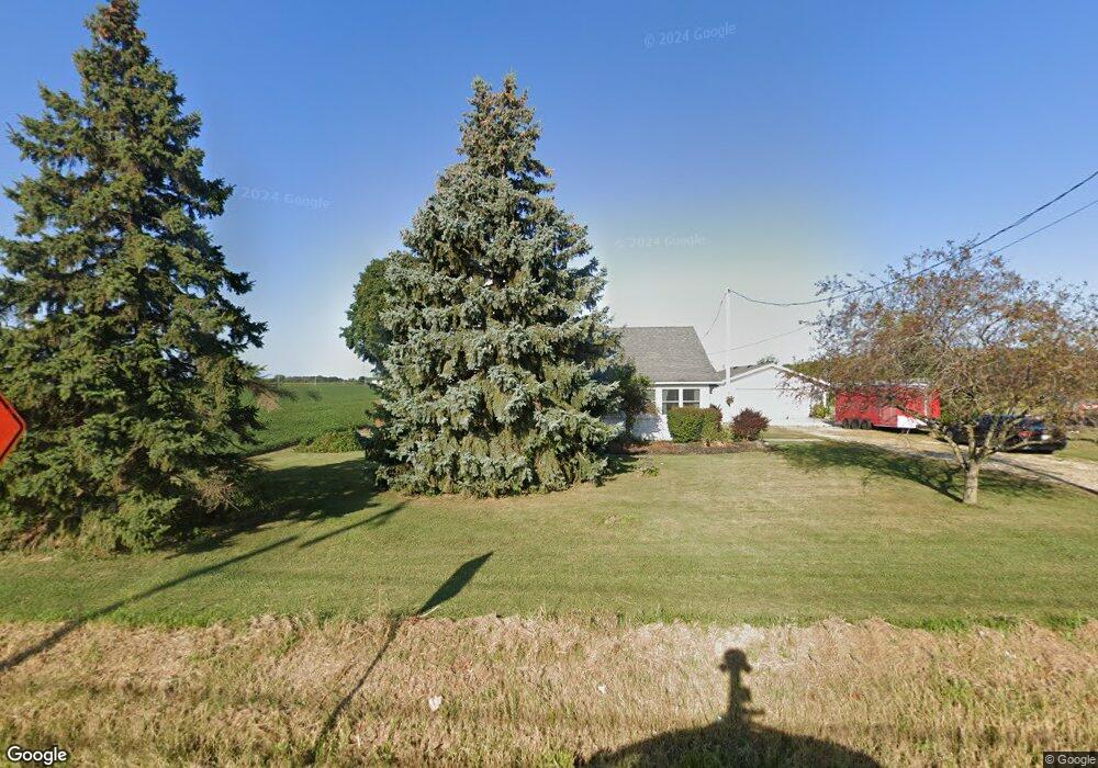
28135 Bradner Rd Millbury, OH 43447
Estimated Value: $206,000 - $228,000
3
Beds
1
Bath
1,369
Sq Ft
$160/Sq Ft
Est. Value
About This Home
This home is located at 28135 Bradner Rd, Millbury, OH 43447 and is currently estimated at $218,965, approximately $159 per square foot. 28135 Bradner Rd is a home located in Wood County with nearby schools including Lake Elementary School, Lake Middle School, and Lake High School.
Ownership History
Date
Name
Owned For
Owner Type
Purchase Details
Closed on
Apr 25, 2005
Sold by
Delauter Gary L
Bought by
Byington Laurie A
Current Estimated Value
Home Financials for this Owner
Home Financials are based on the most recent Mortgage that was taken out on this home.
Original Mortgage
$74,500
Outstanding Balance
$39,392
Interest Rate
6.06%
Mortgage Type
Purchase Money Mortgage
Estimated Equity
$179,573
Purchase Details
Closed on
Nov 24, 1992
Bought by
Byington Laurie A
Create a Home Valuation Report for This Property
The Home Valuation Report is an in-depth analysis detailing your home's value as well as a comparison with similar homes in the area
Home Values in the Area
Average Home Value in this Area
Purchase History
| Date | Buyer | Sale Price | Title Company |
|---|---|---|---|
| Byington Laurie A | -- | -- | |
| Byington Laurie A | -- | -- |
Source: Public Records
Mortgage History
| Date | Status | Borrower | Loan Amount |
|---|---|---|---|
| Open | Byington Laurie A | $74,500 |
Source: Public Records
Tax History Compared to Growth
Tax History
| Year | Tax Paid | Tax Assessment Tax Assessment Total Assessment is a certain percentage of the fair market value that is determined by local assessors to be the total taxable value of land and additions on the property. | Land | Improvement |
|---|---|---|---|---|
| 2024 | $2,788 | $55,825 | $28,000 | $27,825 |
| 2023 | $2,788 | $55,830 | $28,000 | $27,830 |
| 2021 | $2,711 | $45,580 | $23,910 | $21,670 |
| 2020 | $2,618 | $45,580 | $23,910 | $21,670 |
| 2019 | $2,503 | $41,660 | $23,910 | $17,750 |
| 2018 | $2,500 | $41,660 | $23,910 | $17,750 |
| 2017 | $2,255 | $41,660 | $23,910 | $17,750 |
| 2016 | $1,969 | $33,540 | $17,260 | $16,280 |
| 2015 | $1,969 | $33,540 | $17,260 | $16,280 |
| 2014 | $2,070 | $33,540 | $17,260 | $16,280 |
| 2013 | $1,086 | $33,540 | $17,260 | $16,280 |
Source: Public Records
Map
Nearby Homes
- 0 Circle Dr Unit 21 6133022
- 1350 South St
- 28650 Cedar Ln
- 1330 Cherry St
- 28940 Main St
- 29100 Greystone Dr
- 29411 Mabel St
- 29987 Pemberville Rd
- 30246 Bradner Rd
- 4115 Frey Rd
- 1620 Owen Rd
- 3766 Lakepointe Dr
- 23385 W Moline Martin Rd
- 23430 State Route 51 W
- 2190 N Centerfield Dr
- 24125 W Walbridge Rd
- 3901 Plumey Rd
- 4777 Williston Rd
- 3610 Plumey Rd
- 3601 Plumey Rd
- 28201 Bradner Rd
- 28211 Bradner Rd
- 28221 Bradner Rd
- 2002 State Route 795
- 2002 Avenue Rd
- 28244 Bradner Rd
- 28285 Bradner Rd
- 1965 Woody Dr
- 0 Woody Dr
- 1918 Woody Dr
- 28302 Bradner Rd
- 1912 Woody Dr
- 1904 Woody Dr
- 28332 Bradner Rd
- 1902 Woody Dr
- 28350 Bradner Rd
- 1925 Wight Ave
- 28311 Brookside Ln
- 1911 Wight Ave
- 28262 Brookside Ln