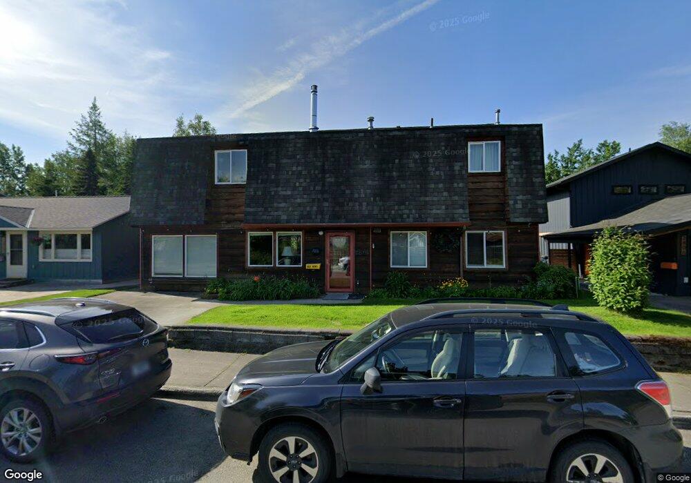
2814 Alder Dr Anchorage, AK 99508
Airport Heights NeighborhoodEstimated Value: $202,000 - $494,803
3
Beds
2
Baths
2,462
Sq Ft
$153/Sq Ft
Est. Value
About This Home
This home is located at 2814 Alder Dr, Anchorage, AK 99508 and is currently estimated at $376,701, approximately $153 per square foot. 2814 Alder Dr is a home located in Anchorage Municipality with nearby schools including Airport Heights Elementary School, Wendler Middle School, and Bettye Davis East Anchorage High School.
Ownership History
Date
Name
Owned For
Owner Type
Purchase Details
Closed on
Sep 19, 2022
Sold by
Clark Romaine F
Bought by
Romaine F Clark Revocable Trust
Current Estimated Value
Purchase Details
Closed on
Jun 8, 2021
Sold by
Clark Romaine F and Clark Marcia J
Bought by
Clark Romaine F
Home Financials for this Owner
Home Financials are based on the most recent Mortgage that was taken out on this home.
Original Mortgage
$143,000
Interest Rate
2.9%
Mortgage Type
New Conventional
Create a Home Valuation Report for This Property
The Home Valuation Report is an in-depth analysis detailing your home's value as well as a comparison with similar homes in the area
Home Values in the Area
Average Home Value in this Area
Purchase History
| Date | Buyer | Sale Price | Title Company |
|---|---|---|---|
| Romaine F Clark Revocable Trust | -- | -- | |
| Clark Romaine F | -- | None Listed On Document |
Source: Public Records
Mortgage History
| Date | Status | Borrower | Loan Amount |
|---|---|---|---|
| Previous Owner | Clark Romaine F | $143,000 |
Source: Public Records
Tax History Compared to Growth
Tax History
| Year | Tax Paid | Tax Assessment Tax Assessment Total Assessment is a certain percentage of the fair market value that is determined by local assessors to be the total taxable value of land and additions on the property. | Land | Improvement |
|---|---|---|---|---|
| 2025 | $3,657 | $480,200 | $108,000 | $372,200 |
| 2024 | $3,657 | $451,500 | $108,000 | $343,500 |
| 2023 | $6,878 | $403,900 | $108,000 | $295,900 |
| 2022 | $3,420 | $403,100 | $108,000 | $295,100 |
| 2021 | $6,397 | $355,000 | $108,000 | $247,000 |
| 2020 | $2,654 | $357,300 | $108,000 | $249,300 |
| 2019 | $2,506 | $353,200 | $108,000 | $245,200 |
| 2018 | $2,512 | $353,200 | $108,000 | $245,200 |
| 2017 | $2,924 | $356,700 | $108,000 | $248,700 |
| 2016 | $2,297 | $349,400 | $91,300 | $258,100 |
| 2015 | $2,297 | $343,900 | $91,300 | $252,600 |
| 2014 | $2,297 | $337,100 | $84,800 | $252,300 |
Source: Public Records
Map
Nearby Homes
- 000 Tr A Thurston
- 1729 Sunrise Dr
- 2680 Lovejoy Dr
- 1701 Aleutian St
- 3433 E 18th Ave
- 2066 Cliffside Dr Unit 10-B2
- 2215 Sunburst Cir
- 2620 Sorbus Cir
- 1661 Eastridge Dr Unit 101
- 1803 Parkside Dr
- 1430 Columbine St
- 3401 E 15th Ave
- 1611 Eastridge Dr Unit 201
- 1635 Sitka St Unit 14-302
- 1413 Wintergreen St
- 4045 E 20th Ave Unit A73
- 4069 E 20th Ave Unit 51
- 4294 Reka Dr Unit 4294
- 2456 Cottonwood St
- 3411 Princeton Way