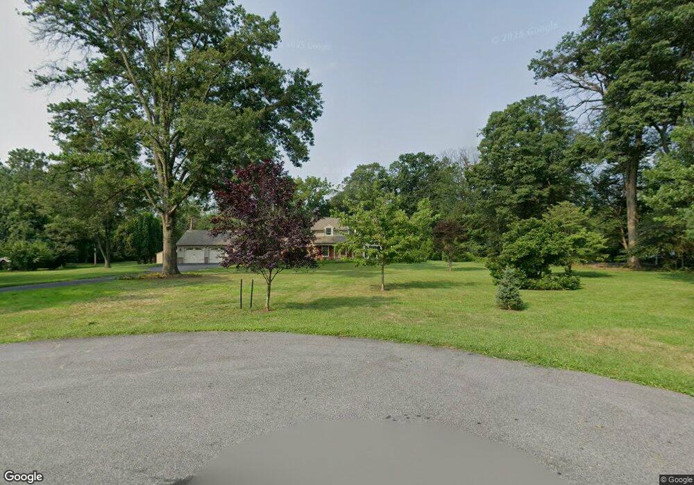
2814 Curtis Ln Lansdale, PA 19446
Estimated Value: $696,551 - $833,000
4
Beds
3
Baths
2,870
Sq Ft
$263/Sq Ft
Est. Value
About This Home
This home is located at 2814 Curtis Ln, Lansdale, PA 19446 and is currently estimated at $755,388, approximately $263 per square foot. 2814 Curtis Ln is a home located in Montgomery County with nearby schools including Worcester Elementary School, Skyview Upper Elementary School, and Arcola Intermediate School.
Ownership History
Date
Name
Owned For
Owner Type
Purchase Details
Closed on
Sep 21, 2007
Sold by
Pennapacker Dale E and Pennapacker Marilyn S
Bought by
Ziegler Julie and Ziegler Paul D
Current Estimated Value
Home Financials for this Owner
Home Financials are based on the most recent Mortgage that was taken out on this home.
Original Mortgage
$317,000
Outstanding Balance
$200,908
Interest Rate
6.59%
Estimated Equity
$554,480
Create a Home Valuation Report for This Property
The Home Valuation Report is an in-depth analysis detailing your home's value as well as a comparison with similar homes in the area
Home Values in the Area
Average Home Value in this Area
Purchase History
| Date | Buyer | Sale Price | Title Company |
|---|---|---|---|
| Ziegler Julie | $514,000 | None Available |
Source: Public Records
Mortgage History
| Date | Status | Borrower | Loan Amount |
|---|---|---|---|
| Open | Ziegler Julie | $317,000 |
Source: Public Records
Tax History Compared to Growth
Tax History
| Year | Tax Paid | Tax Assessment Tax Assessment Total Assessment is a certain percentage of the fair market value that is determined by local assessors to be the total taxable value of land and additions on the property. | Land | Improvement |
|---|---|---|---|---|
| 2025 | $7,771 | $205,190 | -- | -- |
| 2024 | $7,771 | $205,190 | -- | -- |
| 2023 | $7,034 | $193,590 | $0 | $0 |
| 2022 | $6,897 | $193,590 | $0 | $0 |
| 2021 | $6,761 | $193,590 | $0 | $0 |
| 2020 | $6,636 | $193,590 | $0 | $0 |
| 2019 | $6,571 | $193,590 | $0 | $0 |
| 2018 | $756 | $193,590 | $0 | $0 |
| 2017 | $6,319 | $193,590 | $0 | $0 |
| 2016 | $6,244 | $193,590 | $0 | $0 |
| 2015 | $6,021 | $193,590 | $0 | $0 |
| 2014 | $6,021 | $193,590 | $0 | $0 |
Source: Public Records
Map
Nearby Homes
- 2203 Weber Rd
- 2725 Skippack Pike
- 2 Capri Ln Unit KINSLEY
- 2806 Morris Rd
- 4 Anglesey
- 1939 Penngrove Terrace
- 1401 Oak Cir
- 1716 Landis Rd
- 3053 Sunny Ayre Dr
- 1921 Whitehall Rd
- 2099 Deep Meadow Ln
- 742 Tranquility Ln
- 2624 Hawthorn Dr
- 3106 Lilac Ct
- 1307 Lilac Ct
- 4104 Lilac Ct
- 4103 Lilac Ct
- 4204 Lilac Ct
- 5403 Lilac Ct
- 6206 Lilac Ct