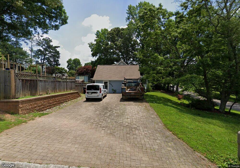
2814 General Hooker Trail NW Unit 2 Kennesaw, GA 30152
West Cobb NeighborhoodEstimated Value: $402,000 - $461,000
3
Beds
2
Baths
2,532
Sq Ft
$169/Sq Ft
Est. Value
About This Home
This home is located at 2814 General Hooker Trail NW Unit 2, Kennesaw, GA 30152 and is currently estimated at $428,301, approximately $169 per square foot. 2814 General Hooker Trail NW Unit 2 is a home located in Cobb County with nearby schools including Hayes Elementary School, Pine Mountain Middle School, and Kennesaw Mountain High School.
Ownership History
Date
Name
Owned For
Owner Type
Purchase Details
Closed on
Jan 27, 2003
Sold by
Neil Alan S
Bought by
Browne John W and Browne Joaquina
Current Estimated Value
Home Financials for this Owner
Home Financials are based on the most recent Mortgage that was taken out on this home.
Original Mortgage
$112,000
Outstanding Balance
$48,072
Interest Rate
5.98%
Mortgage Type
New Conventional
Estimated Equity
$380,229
Purchase Details
Closed on
Aug 24, 2000
Sold by
Scott James G
Bought by
Neil Alan S
Home Financials for this Owner
Home Financials are based on the most recent Mortgage that was taken out on this home.
Original Mortgage
$116,000
Interest Rate
8.17%
Mortgage Type
New Conventional
Create a Home Valuation Report for This Property
The Home Valuation Report is an in-depth analysis detailing your home's value as well as a comparison with similar homes in the area
Home Values in the Area
Average Home Value in this Area
Purchase History
| Date | Buyer | Sale Price | Title Company |
|---|---|---|---|
| Browne John W | $140,000 | -- | |
| Neil Alan S | $145,000 | -- |
Source: Public Records
Mortgage History
| Date | Status | Borrower | Loan Amount |
|---|---|---|---|
| Open | Browne John W | $112,000 | |
| Previous Owner | Neil Alan S | $116,000 |
Source: Public Records
Tax History Compared to Growth
Tax History
| Year | Tax Paid | Tax Assessment Tax Assessment Total Assessment is a certain percentage of the fair market value that is determined by local assessors to be the total taxable value of land and additions on the property. | Land | Improvement |
|---|---|---|---|---|
| 2024 | $834 | $169,080 | $36,000 | $133,080 |
| 2023 | $542 | $140,412 | $24,000 | $116,412 |
| 2022 | $632 | $101,576 | $16,000 | $85,576 |
| 2021 | $632 | $101,576 | $16,000 | $85,576 |
| 2020 | $594 | $88,700 | $16,000 | $72,700 |
| 2019 | $594 | $88,700 | $16,000 | $72,700 |
| 2018 | $561 | $77,924 | $8,000 | $69,924 |
| 2017 | $450 | $60,772 | $8,000 | $52,772 |
| 2016 | $452 | $60,772 | $8,000 | $52,772 |
| 2015 | $425 | $47,172 | $8,000 | $39,172 |
| 2014 | $432 | $47,172 | $0 | $0 |
Source: Public Records
Map
Nearby Homes
- 1702 Johnston Trail NW Unit 2
- 1805 Beckley Place NW
- 2892 Stilesboro Ridge Way NW
- 2104 Chatou Place NW
- 1991 Westover Ln NW
- 2901 Stilesboro Ridge Way NW
- 2423 Rosapenna Ln NW
- 2897 Antonia Place NW
- 2036 Shillingwood Dr NW
- 2331 Kinsale Point NW
- 2940 Masonwood Dr NW Unit 1
- 3033 Waterdance Dr NW
- 2004 Cobblewood Dr NW
- 6060 Steel Wood Dr NW
- 1514 Mossvale Ct NW
- 4070 Woodland Dr NW
- 2528 Bartleson Dr
- 2824 General Hooker Trail NW
- 1732 Johnston Trail NW
- 1752 Johnston Trail NW
- 1741 Johnston Trail NW
- 2834 General Hooker Trail NW Unit 2
- 1722 Johnston Trail NW
- 1721 Johnston Trail NW
- 1765 Mountain Oak Rd NW
- 2829 General Hooker Trail NW
- 1751 Johnston Trail NW Unit 2
- 1763 Mountain Oak Rd NW
- 1767 Mountain Oak Rd NW
- 1761 Mountain Oak Rd NW
- 1712 Johnston Trail NW
- 1771 Mountain Oak Rd NW
- 2844 General Hooker Trail NW
- 2839 General Hooker Trail NW
- 1762 Johnston Trail NW
- 2794 General Hooker Trail NW
- 1711 Johnston Trail NW