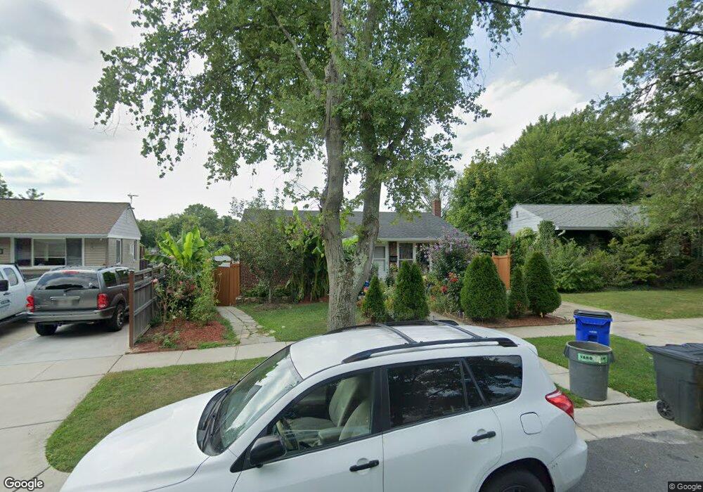
2814 Radius Rd Silver Spring, MD 20902
Estimated Value: $390,000 - $524,000
Studio
3
Baths
988
Sq Ft
$481/Sq Ft
Est. Value
About This Home
This home is located at 2814 Radius Rd, Silver Spring, MD 20902 and is currently estimated at $475,046, approximately $480 per square foot. 2814 Radius Rd is a home located in Montgomery County with nearby schools including Arcola Elementary School, Odessa Shannon Middle School, and Northwood High School.
Ownership History
Date
Name
Owned For
Owner Type
Purchase Details
Closed on
Apr 19, 2007
Sold by
Cabrera Roberto V
Bought by
Cabrera Roberto V and Cabrera Maria Julia
Current Estimated Value
Purchase Details
Closed on
Apr 17, 2007
Sold by
Cabrera Roberto V
Bought by
Cabrera Roberto V and Cabrera Maria Julia
Purchase Details
Closed on
Jun 26, 2003
Sold by
Cabrera Roberto V
Bought by
Cabrera Roberto V
Purchase Details
Closed on
Apr 11, 2000
Sold by
Klute Daphne E
Bought by
Cabrera Roberto V
Create a Home Valuation Report for This Property
The Home Valuation Report is an in-depth analysis detailing your home's value as well as a comparison with similar homes in the area
Home Values in the Area
Average Home Value in this Area
Purchase History
| Date | Buyer | Sale Price | Title Company |
|---|---|---|---|
| Cabrera Roberto V | -- | -- | |
| Cabrera Roberto V | -- | -- | |
| Cabrera Roberto V | -- | -- | |
| Cabrera Roberto V | $160,000 | -- |
Source: Public Records
Tax History
| Year | Tax Paid | Tax Assessment Tax Assessment Total Assessment is a certain percentage of the fair market value that is determined by local assessors to be the total taxable value of land and additions on the property. | Land | Improvement |
|---|---|---|---|---|
| 2025 | $5,015 | $392,800 | $199,200 | $193,600 |
| 2024 | $5,015 | $372,167 | $0 | $0 |
| 2023 | $5,445 | $351,533 | $0 | $0 |
| 2022 | $2,667 | $330,900 | $177,200 | $153,700 |
| 2021 | $3,145 | $326,133 | $0 | $0 |
| 2020 | $3,407 | $321,367 | $0 | $0 |
| 2019 | $3,320 | $316,600 | $162,000 | $154,600 |
| 2018 | $3,238 | $311,467 | $0 | $0 |
| 2017 | $3,241 | $306,333 | $0 | $0 |
| 2016 | -- | $301,200 | $0 | $0 |
| 2015 | $2,384 | $282,733 | $0 | $0 |
| 2014 | $2,384 | $264,267 | $0 | $0 |
Source: Public Records
Map
Nearby Homes
- 12124 Livingston St
- 2913 Weisman Rd
- 3008 Hardy Ave
- 3027 Medway St
- 12015 Claridge Rd
- 2715 Randolph Rd
- 12312 Valleywood Dr
- 12106 Bluhill Rd
- 2600 Arcola Ave
- 3103 Dawson Ave
- 2707 Urbana Dr
- 3410 Embry St
- 2613 Elnora St
- 12220 Centerhill St
- 2904 Fenimore Rd
- 11527 Grandview Ave
- 12526 Epping Ct
- 2228 Highfly Terrace
- 11902 Bernard Dr
- 11612 Leesborough Cir
- 2812 Radius Rd
- 2816 Radius Rd
- 11918 Judson Ct
- 2810 Radius Rd
- 2818 Radius Rd
- 12002 Judson Rd
- 2808 Radius Rd
- 2820 Radius Rd
- 11920 Judson Ct
- 2809 Radius Rd
- 2807 Radius Rd
- 2811 Radius Rd
- 12008 Judson Rd
- 12010 Judson Rd
- 11914 Judson Ct
- 2805 Radius Rd
- 2813 Radius Rd
- 2806 Radius Rd
- 2822 Radius Rd
- 12003 Lafayette Ct
Your Personal Tour Guide
Ask me questions while you tour the home.