28148 E 2400th St Prophetstown, IL 61277
Estimated Value: $255,000 - $288,000
4
Beds
3
Baths
2,352
Sq Ft
$115/Sq Ft
Est. Value
About This Home
This home is located at 28148 E 2400th St, Prophetstown, IL 61277 and is currently estimated at $271,509, approximately $115 per square foot. 28148 E 2400th St is a home located in Henry County with nearby schools including Prophetstown High School.
Ownership History
Date
Name
Owned For
Owner Type
Purchase Details
Closed on
Feb 18, 2010
Sold by
Smith William R and Smith Kathy A
Bought by
Martin Dennis C and Martin Chera L
Current Estimated Value
Home Financials for this Owner
Home Financials are based on the most recent Mortgage that was taken out on this home.
Original Mortgage
$162,501
Outstanding Balance
$108,725
Interest Rate
5.25%
Mortgage Type
FHA
Estimated Equity
$162,784
Create a Home Valuation Report for This Property
The Home Valuation Report is an in-depth analysis detailing your home's value as well as a comparison with similar homes in the area
Purchase History
| Date | Buyer | Sale Price | Title Company |
|---|---|---|---|
| Martin Dennis C | $165,500 | None Available |
Source: Public Records
Mortgage History
| Date | Status | Borrower | Loan Amount |
|---|---|---|---|
| Open | Martin Dennis C | $162,501 |
Source: Public Records
Tax History Compared to Growth
Tax History
| Year | Tax Paid | Tax Assessment Tax Assessment Total Assessment is a certain percentage of the fair market value that is determined by local assessors to be the total taxable value of land and additions on the property. | Land | Improvement |
|---|---|---|---|---|
| 2024 | $4,086 | $60,858 | $12,703 | $48,155 |
| 2023 | $3,733 | $56,142 | $11,719 | $44,423 |
| 2022 | $3,545 | $52,856 | $10,791 | $42,065 |
| 2021 | $3,263 | $48,941 | $9,992 | $38,949 |
| 2020 | $3,264 | $47,625 | $9,723 | $37,902 |
| 2019 | $3,188 | $46,914 | $9,578 | $37,336 |
| 2018 | $3,079 | $45,548 | $9,299 | $36,249 |
| 2017 | $3,065 | $44,351 | $9,055 | $35,296 |
| 2016 | $3,163 | $44,130 | $9,010 | $35,120 |
| 2015 | $3,636 | $44,524 | $9,404 | $35,120 |
| 2013 | $3,636 | $44,974 | $9,499 | $35,475 |
Source: Public Records
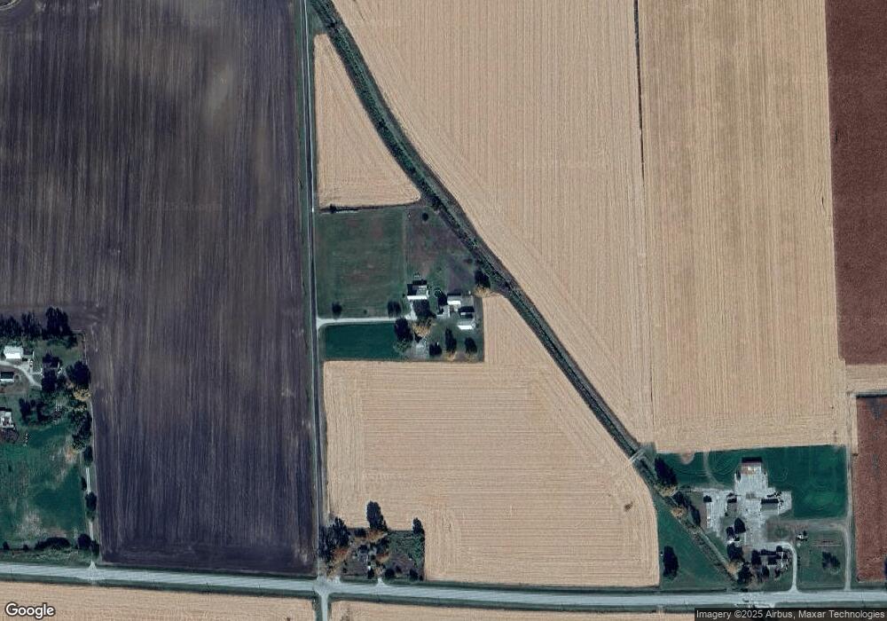
Map
Nearby Homes
- 0 Countryman Rd
- 0 Banks Rd Unit MRD12481143
- 0 Banks Rd Unit 202506237
- 000 Banks Rd
- 606 Locust St
- 11 Elm Ct
- 20566 S Wilsey Rd
- 13420 Howard Rd
- 904 5th St
- 714 7th Ave
- 000 Jersey Rd
- 0000 Jersey Rd
- 26004 2000 County Rd N
- 7820 Kelly Ct
- 202 W Williams St
- 203 Hamilton St
- 0 US Highway 6
- 5630 Moline Rd
- 126 Sherwood Dr
- 102 Amber Ln
- 28148 E 2400th St
- 24022 Illinois Highway 92
- 27283 E 2400th St
- 24308 Illinois Highway 92
- 28476 E 2400th St
- 23834 Illinois Highway 92
- 28453 E 2400th St
- 28505 E 2400th St
- 28633 E 2400th St
- 28633 E 2400th St
- 24688 Illinois Highway 92
- 23497 Illinois Highway 92
- 23497 Illinois Highway 92
- 28759 E 2400th St
- 28759 E 2400 St
- 24667 Illinois Highway 92
- 28950 E 2400th St
- 0 Route 92 Unit 20130337
- 0 Route 92 Unit 8281487
- 0 Route 92 Unit 130653