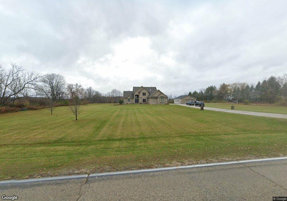
2815 Mayfield Rd Richfield, WI 53076
Estimated Value: $679,000 - $919,000
--
Bed
--
Bath
--
Sq Ft
4.78
Acres
About This Home
This home is located at 2815 Mayfield Rd, Richfield, WI 53076 and is currently estimated at $803,686. 2815 Mayfield Rd is a home located in Washington County with nearby schools including Slinger High School.
Ownership History
Date
Name
Owned For
Owner Type
Purchase Details
Closed on
Jun 7, 2023
Sold by
Moffett Michael D and Moffett Y
Bought by
Moffett Lisa M and Moffett Y
Current Estimated Value
Purchase Details
Closed on
Dec 14, 2015
Sold by
Glacomini Chad
Bought by
Moffett Michael D and Moffett Lisa M
Home Financials for this Owner
Home Financials are based on the most recent Mortgage that was taken out on this home.
Original Mortgage
$300,000
Interest Rate
3.96%
Mortgage Type
New Conventional
Create a Home Valuation Report for This Property
The Home Valuation Report is an in-depth analysis detailing your home's value as well as a comparison with similar homes in the area
Home Values in the Area
Average Home Value in this Area
Purchase History
| Date | Buyer | Sale Price | Title Company |
|---|---|---|---|
| Moffett Lisa M | -- | -- | |
| Moffett Michael D | $430,000 | None Available |
Source: Public Records
Mortgage History
| Date | Status | Borrower | Loan Amount |
|---|---|---|---|
| Previous Owner | Moffett Michael D | $300,000 |
Source: Public Records
Tax History Compared to Growth
Tax History
| Year | Tax Paid | Tax Assessment Tax Assessment Total Assessment is a certain percentage of the fair market value that is determined by local assessors to be the total taxable value of land and additions on the property. | Land | Improvement |
|---|---|---|---|---|
| 2024 | $7,170 | $648,700 | $140,700 | $508,000 |
| 2023 | $6,450 | $648,700 | $140,700 | $508,000 |
| 2022 | $6,057 | $463,700 | $112,600 | $351,100 |
| 2021 | $5,964 | $463,700 | $112,600 | $351,100 |
| 2020 | $6,149 | $463,700 | $112,600 | $351,100 |
| 2019 | $5,662 | $463,700 | $112,600 | $351,100 |
| 2018 | $5,354 | $422,800 | $106,800 | $316,000 |
| 2017 | $5,131 | $422,800 | $106,800 | $316,000 |
| 2016 | $4,893 | $422,800 | $106,800 | $316,000 |
| 2015 | $4,600 | $408,900 | $103,500 | $305,400 |
| 2014 | $4,600 | $379,900 | $97,200 | $282,700 |
| 2013 | $4,917 | $405,400 | $108,100 | $297,300 |
Source: Public Records
Map
Nearby Homes
- 3050 Dr
- 2688 County Road P
- N162W21828 Poppy Rd
- 3790 Sherman Rd
- The Pine Plan at Morning Meadows - The Villas
- The Birch Plan at Morning Meadows - The Villas
- The Linden Plan at Morning Meadows - The Villas
- The Cypress Plan at Morning Meadows - The Villas
- The Neenah Plan at Morning Meadows
- The Laurel Plan at Morning Meadows
- The Madison Plan at Morning Meadows
- The Ashland Plan at Morning Meadows
- The Prescott Plan at Morning Meadows
- The Geneva Plan at Morning Meadows
- The Hudson Plan at Morning Meadows
- The Rosebud Plan at Morning Meadows
- N161W21960 Daisy Dr
- 2444 Ball Dr
- N162W21835 Poppy Rd
- N162W21870 Poppy Rd
- 2863 Mayfield Rd
- 2863 S Mayfield Rd
- 2861 Mayfield Rd
- 2823 Farview Dr
- 2825 Farview Dr
- 2865 Mayfield Rd
- 2826 Farview Dr
- 2822 Farview Dr
- 2827 Farview Dr
- 3296 Outpost Ln
- 2869 Mayfield Rd
- 2830 Farview Dr
- 2825 Outpost Ln
- 2815 Outpost Ln
- 3290 Outpost Ln
- 2829 Farview Dr
- 2818 Farview Dr
- 2805 Farview Dr
- 2873 Mayfield Rd
- 2836 Farview Dr