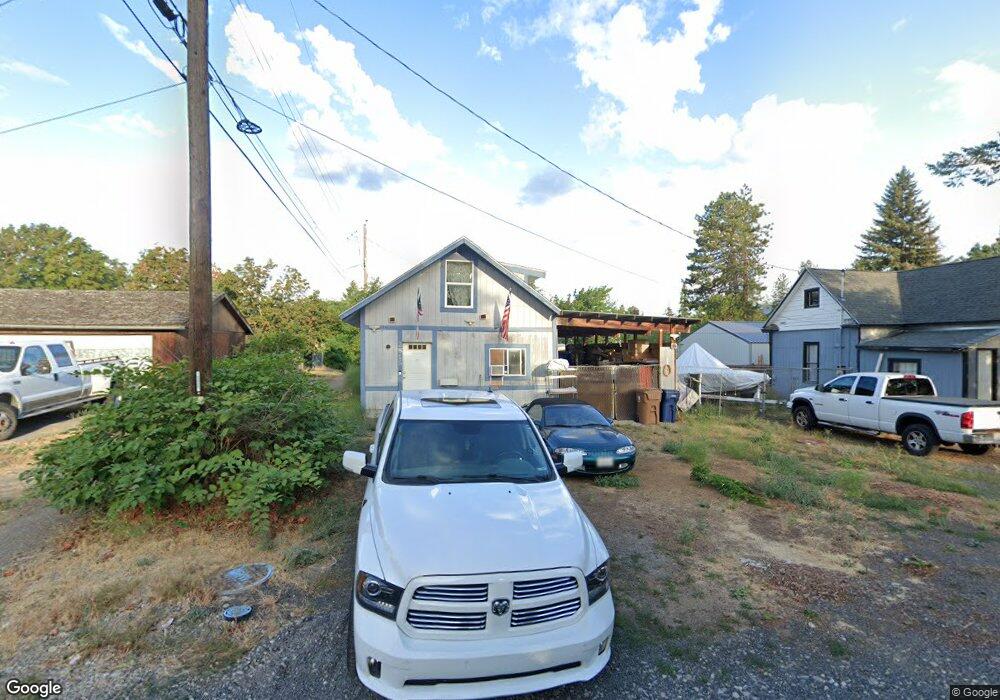
2815 N Elm St Spokane, WA 99205
Emerson Garfield NeighborhoodEstimated Value: $221,000 - $289,000
3
Beds
1
Bath
1,180
Sq Ft
$214/Sq Ft
Est. Value
About This Home
This home is located at 2815 N Elm St, Spokane, WA 99205 and is currently estimated at $252,392, approximately $213 per square foot. 2815 N Elm St is a home located in Spokane County with nearby schools including Audubon Elementary School, Glover Middle School, and North Central High School.
Ownership History
Date
Name
Owned For
Owner Type
Purchase Details
Closed on
Dec 28, 2018
Sold by
Jones Lowell A
Bought by
Bozarth Brent
Current Estimated Value
Purchase Details
Closed on
Apr 19, 2013
Sold by
Jones Paul
Bought by
Jones Lowell A
Purchase Details
Closed on
Jul 1, 2008
Sold by
Jones Paul and Jones Wilma
Bought by
Bozarth Brent
Purchase Details
Closed on
Jul 10, 2007
Sold by
Jones Wilma A
Bought by
Jones Paul
Create a Home Valuation Report for This Property
The Home Valuation Report is an in-depth analysis detailing your home's value as well as a comparison with similar homes in the area
Home Values in the Area
Average Home Value in this Area
Purchase History
| Date | Buyer | Sale Price | Title Company |
|---|---|---|---|
| Bozarth Brent | -- | None Available | |
| Jones Lowell A | -- | None Available | |
| Bozarth Brent | $34,700 | First American Title Ins Co | |
| Jones Paul | -- | None Available |
Source: Public Records
Mortgage History
| Date | Status | Borrower | Loan Amount |
|---|---|---|---|
| Closed | Bozarth Brent | $0 |
Source: Public Records
Tax History Compared to Growth
Tax History
| Year | Tax Paid | Tax Assessment Tax Assessment Total Assessment is a certain percentage of the fair market value that is determined by local assessors to be the total taxable value of land and additions on the property. | Land | Improvement |
|---|---|---|---|---|
| 2025 | $1,950 | $193,000 | $54,000 | $139,000 |
| 2024 | $1,950 | $195,900 | $52,200 | $143,700 |
| 2023 | $1,817 | $195,900 | $52,200 | $143,700 |
| 2022 | $1,589 | $185,100 | $49,500 | $135,600 |
| 2021 | $1,427 | $119,400 | $27,000 | $92,400 |
| 2020 | $1,339 | $107,900 | $25,200 | $82,700 |
| 2019 | $1,155 | $96,300 | $22,500 | $73,800 |
| 2018 | $1,199 | $85,900 | $18,000 | $67,900 |
| 2017 | $1,107 | $80,700 | $18,000 | $62,700 |
| 2016 | $1,072 | $76,500 | $18,000 | $58,500 |
| 2015 | $1,116 | $77,900 | $18,000 | $59,900 |
| 2014 | -- | $80,600 | $18,000 | $62,600 |
| 2013 | -- | $0 | $0 | $0 |
Source: Public Records
Map
Nearby Homes
- 1912 W Buckeye Ave Unit D
- 1912 W Buckeye Ave Unit C
- 1912 W Buckeye Ave Unit B
- 1912 W Buckeye Ave
- 1912 - 1918 W Buckeye Ave
- 1730 W Buckeye Ave
- 3028 N Belt St
- 1828 W York Ave
- 2627 N Belt St
- 1704 W York Ave
- 2214 W Northwest Blvd
- 1518 W Cleveland Ave
- 1527 W Euclid Ave
- 2216 W Fairview Ave
- 2659 N Walnut St
- 1504 W Buckeye Ave
- 3252 N Ash Place
- 2009 W Carlisle Ave
- 1423 W York Ave
- 2423 W Dalton Ave
- 1903 W Cleveland Ave
- 1911 W Cleveland Ave
- 1902 W Grace Ave
- 1906 W Grace Ave
- 1912 W Grace Ave
- 1914 W Grace Ave
- 1921 W Cleveland Ave
- 1829 W Cleveland Ave
- 1918 W Grace Ave
- 1830 W Grace Ave
- 1923 W Cleveland Ave
- 1922 W Grace Ave
- 1922 W Grace Ave
- 1824 W Grace Ave
- 1927 W Cleveland Ave
- 1928 W Grace Ave
- 1904 W Cleveland Ave
- 1908 W Cleveland Ave
- 1817 W Cleveland Ave
- 1914 W Cleveland Ave