2816 Bond Dr Unit 24C Austin, TX 78741
Parker Lane NeighborhoodEstimated Value: $311,704 - $375,000
Studio
3
Baths
1,404
Sq Ft
$242/Sq Ft
Est. Value
About This Home
This home is located at 2816 Bond Dr Unit 24C, Austin, TX 78741 and is currently estimated at $339,235, approximately $241 per square foot. 2816 Bond Dr Unit 24C is a home located in Travis County with nearby schools including Linder Elementary School, Travis Heights Elementary School, and Harmony School of Excellence - Austin.
Ownership History
Date
Name
Owned For
Owner Type
Purchase Details
Closed on
Mar 31, 2008
Sold by
Newmark Homes Lp
Bought by
Gooneratne Ranil J
Current Estimated Value
Home Financials for this Owner
Home Financials are based on the most recent Mortgage that was taken out on this home.
Original Mortgage
$180,085
Outstanding Balance
$114,907
Interest Rate
6.11%
Mortgage Type
Purchase Money Mortgage
Estimated Equity
$224,328
Create a Home Valuation Report for This Property
The Home Valuation Report is an in-depth analysis detailing your home's value as well as a comparison with similar homes in the area
Home Values in the Area
Average Home Value in this Area
Purchase History
| Date | Buyer | Sale Price | Title Company |
|---|---|---|---|
| Gooneratne Ranil J | -- | Universal Land Title Of Tx |
Source: Public Records
Mortgage History
| Date | Status | Borrower | Loan Amount |
|---|---|---|---|
| Open | Gooneratne Ranil J | $180,085 |
Source: Public Records
Tax History
| Year | Tax Paid | Tax Assessment Tax Assessment Total Assessment is a certain percentage of the fair market value that is determined by local assessors to be the total taxable value of land and additions on the property. | Land | Improvement |
|---|---|---|---|---|
| 2025 | $4,519 | $315,762 | $30,213 | $285,549 |
| 2023 | $5,925 | $398,574 | -- | -- |
| 2022 | $7,156 | $362,340 | $0 | $0 |
| 2021 | $7,170 | $329,400 | $18,883 | $310,517 |
| 2020 | $6,439 | $300,200 | $18,883 | $281,317 |
| 2018 | $6,509 | $294,000 | $18,883 | $275,117 |
| 2017 | $6,212 | $278,533 | $5,924 | $272,609 |
| 2016 | $5,920 | $265,451 | $18,883 | $251,617 |
| 2015 | $5,033 | $241,319 | $19,079 | $222,240 |
| 2014 | $5,033 | $230,706 | $19,079 | $211,627 |
Source: Public Records
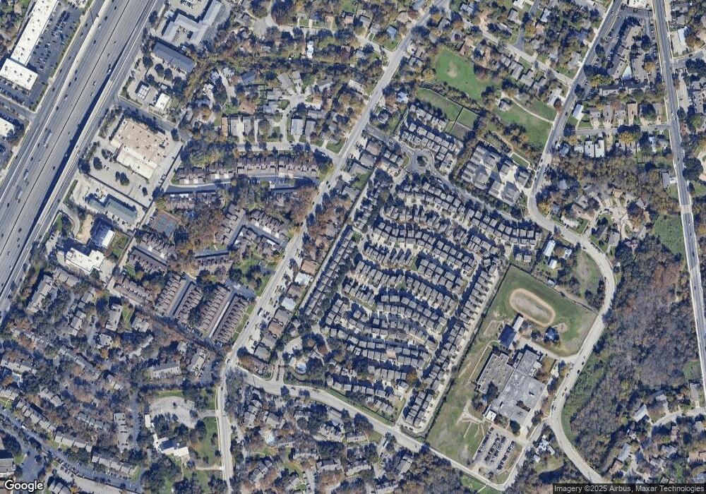
Map
Nearby Homes
- 1916 Tramson Dr Unit 98C
- 1925 Teagle Dr Unit 234C
- 2905 Saville Loop Unit 13C
- 2020 Tripshaw Ln Unit 65C
- 1720 Timber Ridge Dr
- 2624 Metcalfe Rd Unit 2
- 2624 Metcalfe Rd Unit 17
- 1740 Timber Ridge Rd Unit 132
- 1730 Timber Ridge Rd Unit 152
- 2001 Iroquois Ln
- 2829 Metcalfe Rd
- 2823 Metcalfe Rd
- 2821 Metcalfe Rd
- 2819 Metcalfe Rd
- 2825 Metcalfe Rd
- 2817 Metcalfe Rd
- 2827 Metcalfe Rd
- 2813 Metcalfe Rd
- 1712 Alleghany Dr
- 2009 Iroquois Ln
- 2813 Saville Loop Unit 25C
- 2817 Saville Loop Unit 22C
- 2821 Saville Loop Unit 21C
- 2820 Bond Dr Unit 23C
- 2828 Bond Dr Unit 19C
- 2808 Bond Dr Unit 26C
- 2800 Bond Dr Unit 28C
- 1900 Dinsdale Ln
- 2825 Saville Loop Unit 18C
- 2825 Saville Loop
- 1901 Cleese Dr
- 2809 Parker Ln Unit B
- 2809 Parker Ln Unit D
- 2809 Parker Ln Unit C
- 2809 Parker Ln Unit A
- 1901 Tramson Dr Unit 170
- 1901 Tramson Dr
- 2807 Parker Ln
Your Personal Tour Guide
Ask me questions while you tour the home.